
 Français
 Italiano
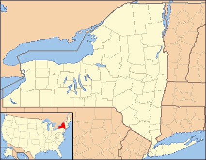
No higher resolution available.
New_York_Locator_Map_with_US.PNG (425 × 330 pixels, file size: 20 KB, MIME type: image/png)
This is a file from the Wikimedia Commons and may be used by other projects. Information from its description page there is shown below. Commons is a freely licensed media file repository. |
Summary
 | This locator map image could be re-created using vector graphics as an SVG file. This has several advantages; see Commons:Media for cleanup for more information. If an SVG form of this image is available, please upload it and afterwards replace this template with {{vector version available|new image name}}.It is recommended to name the SVG file “New York Locator Map with US.svg”—then the template Vector version available (or Vva) does not need the new image name parameter. |
| Description | Locator Map of New York, United States |
| Date | |
| Source | taken from US Census website [1] and modified by User:Ruhrfisch, User:Huebi, and User:Appraiser |
| Author | US Census, User:Ruhrfisch, User:Huebi, and User:Appraiser |
| Permission (Reusing this file) | US Census / US Government work is public domain, my modifications licensed under the GNU Free Documentation License |
Licensing
 | Permission is granted to copy, distribute and/or modify this document under the terms of the GNU Free Documentation License, Version 1.2 or any later version published by the Free Software Foundation; with no Invariant Sections, no Front-Cover Texts, and no Back-Cover Texts. A copy of the license is included in the section entitled GNU Free Documentation License. |
| This file is licensed under the Creative Commons Attribution-Share Alike 3.0 Unported license. | ||
| ||
| This licensing tag was added to this file as part of the GFDL licensing update. |
This file is licensed under the Creative Commons Attribution-Share Alike 2.5 Generic license.
- You are free:
- to share – to copy, distribute and transmit the work
- to remix – to adapt the work
- Under the following conditions:
- attribution – You must give appropriate credit, provide a link to the license, and indicate if changes were made. You may do so in any reasonable manner, but not in any way that suggests the licensor endorses you or your use.
- share alike – If you remix, transform, or build upon the material, you must distribute your contributions under the same or compatible license as the original.
You may select the license of your choice.
and
This image or file is a work of a United States Census Bureau employee, taken or made as part of that person's official duties. As a work of the U.S. federal government, the image is in the public domain.
|  |
made by kasey klase
File history
Click on a date/time to view the file as it appeared at that time.
| Date/Time | Thumbnail | Dimensions | User | Comment | |
|---|---|---|---|---|---|
| current | 05:50, 26 June 2013 | | 425 × 330 (20 KB) | Zyxw | Same width & height as File:New York Locator Map.PNG for use with mapping templates. Inset is File:Map of USA NY.svg. Smaller file size. |
| 15:35, 14 March 2008 |  | 429 × 334 (27 KB) | Appraiser | {{Information| |Description= Locator Map of New York, United States |Source= taken from US Census website [http://factfinder.census.gov/] and modified by User:Ruhrfisch, User:Huebi, and User:Appraiser |Date= March 2008 |Author= US Census, [[U |
File usage
There are no pages that use this file.
Global file usage
The following other wikis use this file:
- Usage on ar.wikipedia.org
- Usage on azb.wikipedia.org
- Usage on be-tarask.wikipedia.org
- Usage on bs.wikipedia.org
- Usage on ca.wikipedia.org
- Usage on ceb.wikipedia.org
- Usage on cy.wikipedia.org
- Usage on de.wikipedia.org
- Usage on en.wikipedia.org
- Margaretville, New York
- Andover, New York
- Angelica, New York
- Lisle, New York
- Ellicottville, New York
- Little Valley, New York
- Big Flats, New York
- Horseheads, New York
- Andes, New York
- Delhi, New York
- Franklin, Delaware County, New York
- Fishkill, New York
- Mayfield, New York
- Lowville, New York
- Leicester, New York
- Lima, New York
- Livonia, New York
- Cherry Valley, New York
- Lodi, New York
- Edwards, New York
- Hermon, New York
- Avoca, New York
- Candor, New York
- Castile, New York
- West Valley Demonstration Project
- Cuylerville, New York
- West Valley, New York
View more global usage of this file.
Explore the world

United states
New York

Japan
Tokyo

Singapore
Singapore
