
 Français
 Italiano
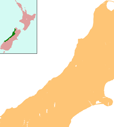
No higher resolution available.
NZ-West_Coast_plain_map.png (378 × 423 pixels, file size: 21 KB, MIME type: image/png)
This is a file from the Wikimedia Commons and may be used by other projects. Information from its description page there is shown below. Commons is a freely licensed media file repository. |
Summary
| Description | Locator map for West Coast Region, New Zealand |
| Date | |
| Source | combination of Image:NZ-SI plain map.png and Image:Position of West Coast.png |
| Author | Grutness |
| Permission (Reusing this file) | public domain |
Licensing
| I, the copyright holder of this work, release this work into the public domain. This applies worldwide. In some countries this may not be legally possible; if so: I grant anyone the right to use this work for any purpose, without any conditions, unless such conditions are required by law. |
File history
Click on a date/time to view the file as it appeared at that time.
| Date/Time | Thumbnail | Dimensions | User | Comment | |
|---|---|---|---|---|---|
| current | 13:25, 17 July 2008 | | 378 × 423 (21 KB) | Grutness | {{Information |Description=== Summary == {{Information |Description=Locator map for West Coast Region, New Zealand |Source=combination of Image:NZ-SI plain map.png and Image:Position of West Coast.png |Date=17 July 2008 |Author=Grutness |Permiss |
File usage
There are no pages that use this file.
Global file usage
The following other wikis use this file:
- Usage on ar.wikipedia.org
- Usage on ceb.wikipedia.org
- Usage on en.wikipedia.org
- Kokiri
- Punakaiki
- Franz Josef Glacier
- Crushington, New Zealand
- Lake Christabel
- Brunner, New Zealand
- Hokitika Airport
- Lendenfeld Peak
- Ngahere
- Cronadun
- Te Kuha
- Lake Ianthe
- Pukekura
- Lake Poerua
- Inchbonnie
- Ruatapu, New Zealand
- Lake Mahinapua
- Whataroa River
- Whataroa
- Stillwater, West Coast
- Westport Airport (New Zealand)
- Millerton, New Zealand
- Stockton, New Zealand
- Seddonville
- Summerlea, New Zealand
- Sergeants Hill
- List of schools in the West Coast Region
- Lake Daniell
- Module:Location map/data/New Zealand West Coast/doc
- Maruia
- Haupiri
- Kokatahi
- Lyell, New Zealand
- Waiuta
- Mount Rolleston
- User:Sladew/Charles Edward Douglas
- Charlie Douglas
- Mount Cook Aerodrome
- Mokihinui
- Module:Location map/data/New Zealand West Coast
- Agassiz Glacier (New Zealand)
- Wallsend, New Zealand
- Dunollie, New Zealand
- Ballroom Overhang
- Pancake Rocks and Blowholes
- Ōtūmahana Estuary
- Gates of Haast
- Usage on fa.wikipedia.org
View more global usage of this file.
Explore the world

United states
New York

Japan
Tokyo

Singapore
Singapore
