
 Français
 Italiano
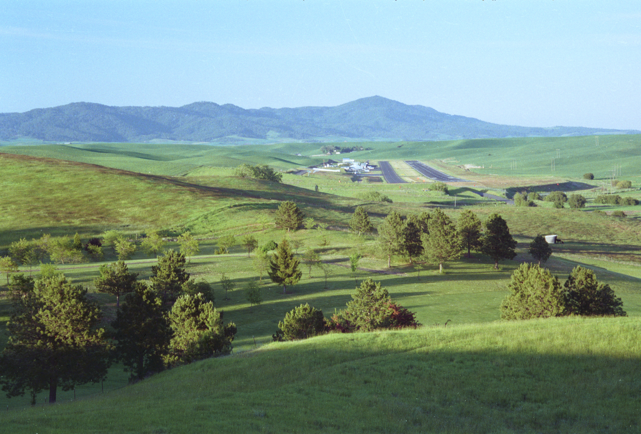
Size of this preview: 800 × 542 pixels. Other resolutions: 320 × 217 pixels | 640 × 434 pixels | 1,024 × 694 pixels | 1,280 × 867 pixels | 2,100 × 1,423 pixels.
Original file (2,100 × 1,423 pixels, file size: 2.46 MB, MIME type: image/jpeg)
This is a file from the Wikimedia Commons and may be used by other projects. Information from its description page there is shown below. Commons is a freely licensed media file repository. |
Summary
| Description | Moscow-Pullman Regional Airport. The highest peak off in the distance is Moscow Mountain. The distance between the airport and the mountain is some 11 miles, or about 12 if measured from the center of each. |
| Date | |
| Source | Own work |
| Author | Dsdugan |
| Camera location | | View this and other nearby images on: OpenStreetMap |
|---|
Licensing
| I, the copyright holder of this work, release this work into the public domain. This applies worldwide. In some countries this may not be legally possible; if so: I grant anyone the right to use this work for any purpose, without any conditions, unless such conditions are required by law. |
File history
Click on a date/time to view the file as it appeared at that time.
| Date/Time | Thumbnail | Dimensions | User | Comment | |
|---|---|---|---|---|---|
| current | 23:11, 28 September 2012 | | 2,100 × 1,423 (2.46 MB) | Dsdugan~commonswiki | high resolution scan |
| 02:40, 23 July 2008 |  | 477 × 333 (43 KB) | Dsdugan~commonswiki | {{Information |Description= |Source= |Date= |Author= |Permission= |other_versions= }} |
File usage
There are no pages that use this file.
Global file usage
The following other wikis use this file:
- Usage on cs.wikipedia.org
- Usage on de.wikipedia.org
- Usage on en.wikipedia.org
- Usage on ru.wikipedia.org
- Usage on zh.wikipedia.org
Explore the world

United states
New York

Japan
Tokyo

Singapore
Singapore
