
 Français
 Italiano
Size of this PNG preview of this SVG file: 595 × 599 pixels. Other resolutions: 238 × 240 pixels | 477 × 480 pixels | 763 × 768 pixels | 1,017 × 1,024 pixels | 2,034 × 2,048 pixels | 1,414 × 1,424 pixels.
Original file (SVG file, nominally 1,414 × 1,424 pixels, file size: 1.22 MB)
This is a file from the Wikimedia Commons and may be used by other projects. Information from its description page there is shown below. Commons is a freely licensed media file repository. |
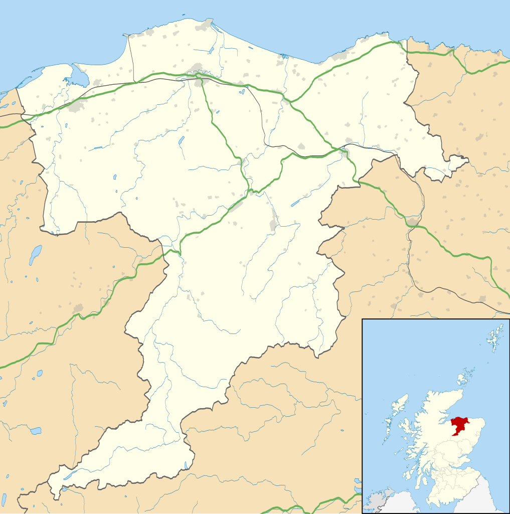
| Description | Blank map of Moray, UK with the following information shown:
Equirectangular map projection on WGS 84 datum, with N/S stretched 180% Geographic limits:
|
| Date | |
| Source |
|
| Author | Nilfanion, created using Ordnance Survey data |
| Permission (Reusing this file) | This file is licensed under the Creative Commons Attribution-Share Alike 3.0 Unported license. Attribution: Contains Ordnance Survey data © Crown copyright and database right
|
| Other versions | File:Moray UK blank map.svg - Blank map |
File history
Click on a date/time to view the file as it appeared at that time.
| Date/Time | Thumbnail | Dimensions | User | Comment | |
|---|---|---|---|---|---|
| current | 20:18, 26 September 2010 | | 1,414 × 1,424 (1.22 MB) | Nilfanion | {{Information |Description=Blank map of Moray, UK with the following information shown: *Administrative borders *Coastline, lakes and rivers *Roads and railways *Urban areas Equirectangular map projection on WGS 84 datum, with N/S stretched 1 |
File usage
There are no pages that use this file.
Global file usage
The following other wikis use this file:
- Usage on ar.wikipedia.org
- Usage on azb.wikipedia.org
- Usage on bg.wikipedia.org
- Usage on ceb.wikipedia.org
- Usage on cy.wikipedia.org
- Usage on de.wikipedia.org
- Usage on en.wikipedia.org
- Maggieknockater
- List of monastic houses in Scotland
- Moray
- Elgin, Moray
- The Glenlivet distillery
- Dufftown
- Forres
- Lossiemouth
- Burghead
- RAF Lossiemouth
- RAF Kinloss
- Brodie Castle
- Ballindalloch Castle
- The Macallan distillery
- Buckie
- Glenfiddich distillery
- Findochty
- Fochabers
- Aberlour
- Cullen, Moray
- Tomintoul
- Burghead Transmitting Station
- Keith, Moray
- Mosstodloch
- Rothes
- Findhorn
- Kinloss, Scotland
- Portknockie
- Drummuir
- Rathven
- Dallas, Moray
- Longmorn
- Victoria Park, Buckie
- Borough Briggs
- Craigellachie, Moray
- Mosset Park
- Kynoch Park
- Newmill
- Cummingston
- Hopeman
View more global usage of this file.
Explore the world

United states
New York

Japan
Tokyo

Singapore
Singapore
