
 Français
 Italiano
Size of this PNG preview of this SVG file: 800 × 491 pixels. Other resolutions: 320 × 196 pixels | 640 × 393 pixels | 1,024 × 628 pixels | 1,280 × 785 pixels | 2,560 × 1,570 pixels | 4,066 × 2,494 pixels.
Original file (SVG file, nominally 4,066 × 2,494 pixels, file size: 438 KB)
This is a file from the Wikimedia Commons and may be used by other projects. Information from its description page there is shown below. Commons is a freely licensed media file repository. |
W3C-validity not checked.
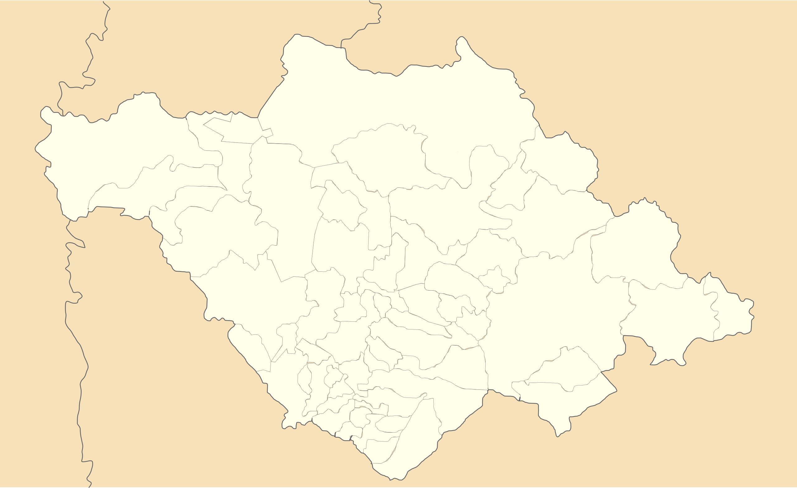
| Description | Location Map of en:Tlaxcala Equirectangular projection, Geographic limits of the map:
|
| Date | |
| Source | Own work |
| Author | Battroid (talk) |
I, the copyright holder of this work, hereby publish it under the following license:
| I, the copyright holder of this work, release this work into the public domain. This applies worldwide. In some countries this may not be legally possible; if so: I grant anyone the right to use this work for any purpose, without any conditions, unless such conditions are required by law. |
File history
Click on a date/time to view the file as it appeared at that time.
| Date/Time | Thumbnail | Dimensions | User | Comment | |
|---|---|---|---|---|---|
| current | 21:00, 20 November 2011 | | 4,066 × 2,494 (438 KB) | Battroid | {{ValidSVG}} {{Information |Description=Location Map of en:Tlaxcala Equirectangular projection, Geographic limits of the map: * N: 19.774° N * S: 19.09° N * W: 98.76° W * E: 97.579° W |Source={{own work}} |Date=2011-11-20 |Author=[[User:Battroid| |
File usage
There are no pages that use this file.
Global file usage
The following other wikis use this file:
- Usage on ar.wikipedia.org
- Usage on bg.wikipedia.org
- Usage on ceb.wikipedia.org
- Usage on ce.wikipedia.org
- Usage on de.wikipedia.org
- Usage on en.wikipedia.org
- Huamantla
- Malinche (volcano)
- Ocotlán, Tlaxcala
- Altzayanca
- Amaxac de Guerrero
- Apetatitlán de Antonio Carvajal
- Atlangatepec
- Benito Juárez Municipality, Tlaxcala
- Calpulalpan Municipality
- Contla de Juan Cuamatzi
- Cuapiaxtla
- Cuaxomulco
- El Carmen Tequexquitla
- Españita
- Hueyotlipan
- Ixtacuixtla de Mariano Matamoros
- Ixtenco Municipality
- La Magdalena Tlaltelulco
- Mazatecochco de José María Morelos
- Muñoz de Domingo Arenas
- Nativitas
- Panotla
- Papalotla de Xicohténcatl
- Sanctórum de Lázaro Cárdenas
- San Damián Texoloc
- San Jerónimo Zacualpan
- San José Teacalco
- San Juan Huactzinco
- San Lorenzo Axocomanitla
- San Lucas Tecopilco
- San Pablo del Monte
- Santa Ana Nopalucan
- Santa Apolonia Teacalco
- Santa Catarina Ayometla
- Santa Cruz Quilehtla
- Santa Cruz Tlaxcala
- Santa Isabel Xiloxoxtla
- Tenancingo, Tlaxcala
View more global usage of this file.
Explore the world

United states
New York

Japan
Tokyo

Singapore
Singapore
