
 Français
 Italiano
Size of this PNG preview of this SVG file: 658 × 600 pixels. Other resolutions: 263 × 240 pixels | 527 × 480 pixels | 842 × 768 pixels | 1,123 × 1,024 pixels | 2,247 × 2,048 pixels | 1,109 × 1,011 pixels.
Original file (SVG file, nominally 1,109 × 1,011 pixels, file size: 769 KB)
This is a file from the Wikimedia Commons and may be used by other projects. Information from its description page there is shown below. Commons is a freely licensed media file repository. |
W3C-validity not checked.
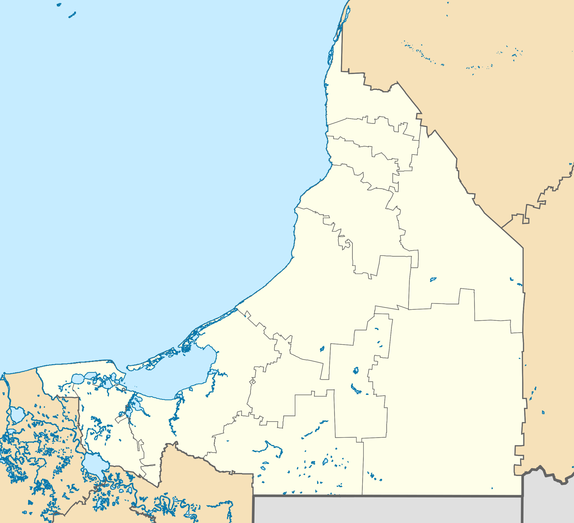
| Description | Deutsch: Positionskarte von Campeche Quadratische Plattkarte Español: Mapa de localización de Campeche en proyección equirectangular. English: Location Map of Campeche Equirectangular projection, Geographic limits of the map:
|
| Date | |
| Source |
|
| Author | Addicted04 |
Licensing
I, the copyright holder of this work, hereby publish it under the following licenses:
This file is licensed under the Creative Commons Attribution-Share Alike 3.0 Unported license.
- You are free:
- to share – to copy, distribute and transmit the work
- to remix – to adapt the work
- Under the following conditions:
- attribution – You must give appropriate credit, provide a link to the license, and indicate if changes were made. You may do so in any reasonable manner, but not in any way that suggests the licensor endorses you or your use.
- share alike – If you remix, transform, or build upon the material, you must distribute your contributions under the same or compatible license as the original.
 | Permission is granted to copy, distribute and/or modify this document under the terms of the GNU Free Documentation License, Version 1.2 or any later version published by the Free Software Foundation; with no Invariant Sections, no Front-Cover Texts, and no Back-Cover Texts. A copy of the license is included in the section entitled GNU Free Documentation License. |
You may select the license of your choice.
File history
Click on a date/time to view the file as it appeared at that time.
| Date/Time | Thumbnail | Dimensions | User | Comment | |
|---|---|---|---|---|---|
| current | 23:50, 27 April 2015 | | 1,109 × 1,011 (769 KB) | Addicted04 | New map (INEGI, 2014) |
| 20:30, 31 July 2011 |  | 1,108 × 931 (266 KB) | Addicted04 | Yucatan border | |
| 15:53, 16 July 2011 |  | 1,108 × 931 (276 KB) | Battroid | {{ValidSVG}} {{Information |Description={{de|1=Positionskarte von Campeche Quadratische Plattkarte}} {{es|1=Mapa de localización de Campeche en proyección equirectangular.}} {{en|1=Location Map of [[:en:Ca | |
| 09:12, 16 July 2011 |  | 1,108 × 931 (276 KB) | Battroid | {{ValidSVG}} {{Information |Description={{de|1=Positionskarte von Campeche Quadratische Plattkarte}} {{es|1=Mapa de localización de Campeche en proyección equirectangular.}} {{en|1=Location Map of [[:en:Ca | |
| 09:10, 16 July 2011 |  | 1,108 × 931 (276 KB) | Battroid | {{ValidSVG}} {{Information |Description={{de|1=Positionskarte von Campeche Quadratische Plattkarte}} {{es|1=Mapa de localización de Campeche en proyección equirectangular.}} {{en|1=Location Map of [[:en:Ca | |
| 02:30, 10 November 2009 |  | 1,108 × 931 (276 KB) | Addicted04 | Yucatan Border | |
| 01:04, 10 November 2009 |  | 1,108 × 931 (212 KB) | Addicted04 | {{Information |Description={{en|1=Location Map of Campeche Equirectangular projection, Geographic limits of the map: * N: 20.75° N * S: 17.65° N * W: 92.80° W * E: 88.80° W}} |Source={{own}} |Author=Addicted04 |Dat |
File usage
There are no pages that use this file.
Global file usage
The following other wikis use this file:
- Usage on ar.wikipedia.org
- Usage on ba.wikipedia.org
- Usage on bg.wikipedia.org
- Usage on ceb.wikipedia.org
- Usage on ce.wikipedia.org
- Usage on cs.wikipedia.org
- Usage on de.wikipedia.org
- Campeche (Stadt)
- Ciudad del Carmen
- Wikipedia:Kartenwerkstatt/Positionskarten/Nordamerika
- Vorlage:Positionskarte Mexiko Campeche
- Edzná
- Cayos Arcas
- Isla del Carmen
- Isla Arena (Mexiko)
- Candelaria (Campeche)
- Palizada (Campeche)
- Hopelchén
- Champotón
- Isla Aguada
- Puente Zacatal
- Puente de la Unidad (Campeche)
- Sabancuy
- Usage on en.wikipedia.org
- Campeche (city)
- Escárcega
- Ciudad del Carmen
- Dzitbalché
- Bolonchén, Campeche
- Edzna
- Calakmul
- Ciudad del Carmen International Airport
- Campeche International Airport
- Chicanná
- Xpujil
- Carmen Municipality
- Candelaria Municipality
- Hopelchén Municipality
- Hopelchén
- Tenabo
- Hecelchakán Municipality
- Module:Location map/data/Mexico Campeche/doc
- Champotón Municipality
- Module:Location map/data/Mexico Campeche
- 2018–19 Liga TDP season
- 2019–20 Liga TDP season
- 2020–21 Liga TDP season
- Dzitbalché Municipality
- 2017–18 Tercera División de México season
- 2016–17 Tercera División de México season
View more global usage of this file.
Metadata
Explore the world

United states
New York

Japan
Tokyo

Singapore
Singapore
