
 Français
 Italiano
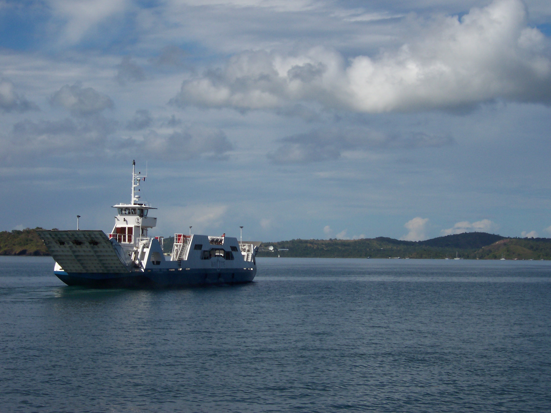
Size of this preview: 800 × 600 pixels. Other resolutions: 320 × 240 pixels | 640 × 480 pixels | 1,024 × 768 pixels | 1,280 × 960 pixels | 2,304 × 1,728 pixels.
Original file (2,304 × 1,728 pixels, file size: 591 KB, MIME type: image/jpeg)
This is a file from the Wikimedia Commons and may be used by other projects. Information from its description page there is shown below. Commons is a freely licensed media file repository. |
| Camera location | | View this and other nearby images on: OpenStreetMap |
|---|
| Description | |||||||||
| Date | |||||||||
| Source | Self-photographed | ||||||||
| Author | B.navez | ||||||||
| Permission (Reusing this file) | own work : GFDL + CC-BY-SA I, the copyright holder of this work, hereby publish it under the following licenses:
This file is licensed under the Creative Commons Attribution-Share Alike 2.5 Generic, 2.0 Generic and 1.0 Generic license.
You may select the license of your choice. |

File history
Click on a date/time to view the file as it appeared at that time.
| Date/Time | Thumbnail | Dimensions | User | Comment | |
|---|---|---|---|---|---|
| current | 14:47, 13 June 2006 | | 2,304 × 1,728 (591 KB) | B.navez | {{Information |Description=Mayotte, the ferry between Dzaoudzi and Mamoudzou |Source=own photographic work |Date=JUN 2005 |Author=B.navez |Permission=own work : GFDL + CC-BY-SA |other_versions=none }} |
File usage
There are no pages that use this file.
Global file usage
The following other wikis use this file:
- Usage on ar.wikipedia.org
- Usage on azb.wikipedia.org
- Usage on de.wikipedia.org
- Usage on en.wikipedia.org
- Usage on eo.wikipedia.org
- Usage on fr.wikipedia.org
- Usage on nl.wikipedia.org
- Usage on pt.wikipedia.org
- Usage on sq.wikipedia.org
Metadata
Explore the world

United states
New York

Japan
Tokyo

Singapore
Singapore
