
 Français
 Italiano
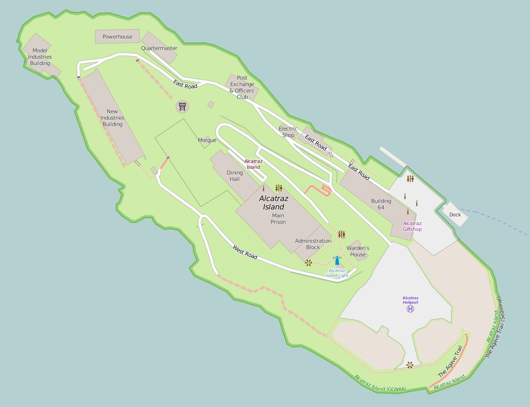
This is a file from the Wikimedia Commons and may be used by other projects. Information from its description page there is shown below. Commons is a freely licensed media file repository. |
 | This architecture image could be re-created using vector graphics as an SVG file. This has several advantages; see Commons:Media for cleanup for more information. If an SVG form of this image is available, please upload it and afterwards replace this template with {{vector version available|new image name}}.It is recommended to name the SVG file “Map of Alcatraz.svg”—then the template Vector version available (or Vva) does not need the new image name parameter. |
| | This city map image could be re-created using vector graphics as an SVG file. This has several advantages; see Commons:Media for cleanup for more information. If an SVG form of this image is available, please upload it and afterwards replace this template with {{vector version available|new image name}}.It is recommended to name the SVG file “Map of Alcatraz.svg”—then the template Vector version available (or Vva) does not need the new image name parameter. |
Summary
| Description | English: Map of Alcatraz Island — former prison and present day park, in San Francisco Bay, California. |
| Date | |
| Source | http://www.openstreetmap.org/#map=18/37.82672/-122.42336 |
| Author | OpenStreetMap contributors |
| Permission (Reusing this file) | http://www.openstreetmap.org/copyright map style: https://github.com/gravitystorm/openstreetmap-carto/blob/master/LICENSE.txt |
Licensing
This screenshot either does not contain copyright-eligible parts or visuals of copyrighted software, or the author has released it under a free license (which should be indicated beneath this notice), and as such follows the licensing guidelines for screenshots of Wikimedia Commons. You may use it freely according to its particular license. Free software license:
| This work contains information from OpenStreetMap, which is made available under the Open Database License (ODbL). The ODbL does not require any particular license for maps produced from ODbL data. Prior to 1 August 2020, map tiles produced by the OpenStreetMap Foundation were licensed under the CC-BY-SA-2.0 license. Maps produced by other people may be subject to other licences. |
Note: if the screenshot shows any work that is not a direct result of the program code itself, such as a text or graphics that are not part of the program, the license for that work must be indicated separately.
File history
Click on a date/time to view the file as it appeared at that time.
| Date/Time | Thumbnail | Dimensions | User | Comment | |
|---|---|---|---|---|---|
| current | 19:01, 9 December 2016 | | 1,072 × 825 (126 KB) | Jeanjung212 | Lossless Compressed/optimized png decreasing file size by 119344 bytes |
| 10:14, 26 March 2015 |  | 1,072 × 825 (243 KB) | Mateusz Konieczny | update import from OSM | |
| 11:08, 31 August 2012 |  | 1,188 × 844 (198 KB) | Blofeld Dr. | {{Information |Description ={{en|1=w}} |Source =w |Author =w |Date =w |Permission = |other_versions = }} |
File usage
There are no pages that use this file.
Global file usage
The following other wikis use this file:
- Usage on af.wikipedia.org
- Usage on da.wikipedia.org
- Usage on en.wikipedia.org
- Usage on fr.wikipedia.org
- Usage on fy.wikipedia.org
- Usage on it.wikipedia.org
- Usage on nl.wikipedia.org
- Usage on uk.wikipedia.org
- Usage on uz.wikipedia.org
- Usage on www.wikidata.org
- Usage on zh.wikipedia.org
Explore the world

United states
New York

Japan
Tokyo

Singapore
Singapore
