
 Français
 Italiano
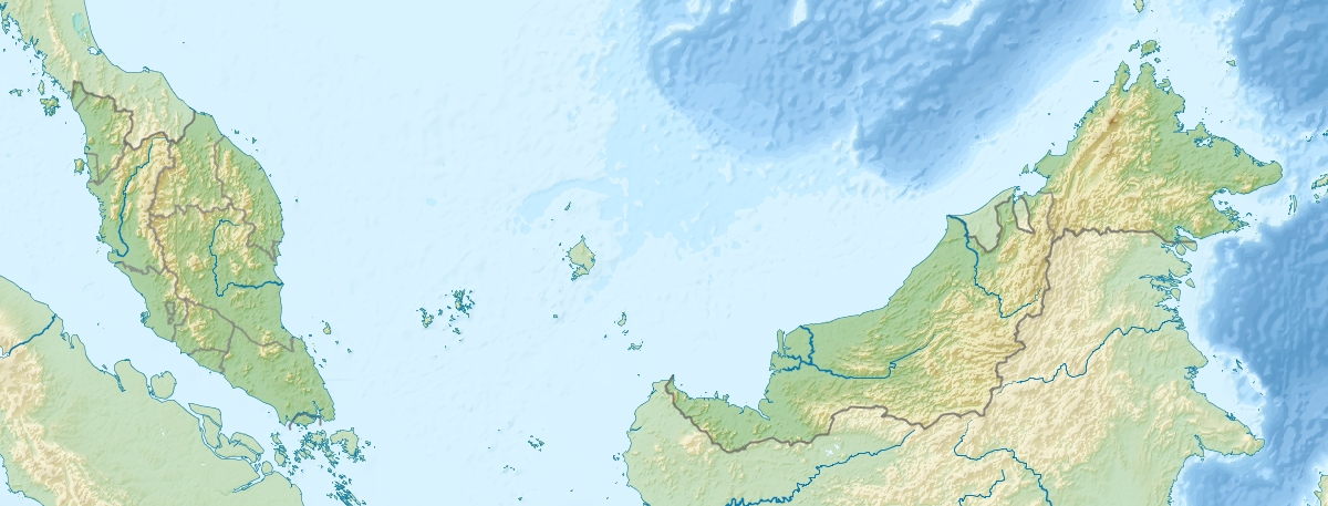
Size of this preview: 800 × 305 pixels. Other resolutions: 320 × 122 pixels | 1,200 × 457 pixels.
Original file (1,200 × 457 pixels, file size: 396 KB, MIME type: image/jpeg)
This is a file from the Wikimedia Commons and may be used by other projects. Information from its description page there is shown below. Commons is a freely licensed media file repository. |
Summary
| Description | English: Location map of Malaysia. Equirectangular projection. Strechted by 100.0%. Geographic limits of the map: * N: 8.0° N * S: 0.0° N * W: 99.0° E * E: 120.0° EMade with Natural Earth. Free vector and raster map data @ naturalearthdata.com. |
| Date | |
| Source | Own work |
| Author | Uwe Dedering |
| Other versions |
|

Licensing
I, the copyright holder of this work, hereby publish it under the following licenses:
This file is licensed under the Creative Commons Attribution-Share Alike 3.0 Unported license.
- You are free:
- to share – to copy, distribute and transmit the work
- to remix – to adapt the work
- Under the following conditions:
- attribution – You must give appropriate credit, provide a link to the license, and indicate if changes were made. You may do so in any reasonable manner, but not in any way that suggests the licensor endorses you or your use.
- share alike – If you remix, transform, or build upon the material, you must distribute your contributions under the same or compatible license as the original.
 | Permission is granted to copy, distribute and/or modify this document under the terms of the GNU Free Documentation License, Version 1.2 or any later version published by the Free Software Foundation; with no Invariant Sections, no Front-Cover Texts, and no Back-Cover Texts. A copy of the license is included in the section entitled GNU Free Documentation License. |
You may select the license of your choice.
File history
Click on a date/time to view the file as it appeared at that time.
| Date/Time | Thumbnail | Dimensions | User | Comment | |
|---|---|---|---|---|---|
| current | 09:38, 24 April 2010 | 1,200 × 457 (396 KB) | Uwe Dedering | {{Information |Description={{en|1=Location map of Malaysia. Equirectangular projection. Strechted by 100.0%. Geographic limits of the map: * N: 8.0° N * S: 0.0° N * W: 99.0° E * E: 120.0° E Made with Natural Earth. Free vector and raster map dat |
File usage
There are no pages that use this file.
Global file usage
The following other wikis use this file:
- Usage on ace.wikipedia.org
- Usage on ar.wikipedia.org
- Usage on arz.wikipedia.org
- Usage on ast.wikipedia.org
- Usage on az.wikipedia.org
- Cohor boğazı
- Şablon:Nişanlama siyahısı
- Şablon:Yer xəritəsi Malayziya
- Kinabalu Milli Parkı
- Şablon:Nişanlama siyahısı/doc
- Malay yarımadası
- Endau-Rompin Milli Parkı
- Kinabalu
- Piay burnu
- Liqitan adası
- Mabul adası
- Ligitan arxipelaqı
- Kapalay adası
- Ketam adası
- Banqi adası
- Klanq adası
- Sebatik adası
- Sipadan adası
- Lanqkavi adaları
- Pinanq adası
- Malayziya coğrafiyası
- Usage on ban.wikipedia.org
- Usage on ba.wikipedia.org
- Usage on bcl.wikipedia.org
- Usage on be.wikipedia.org
- Usage on bg.wikipedia.org
View more global usage of this file.
Explore the world

United states
New York

Japan
Tokyo

Singapore
Singapore
