
 Français
 Italiano
Size of this PNG preview of this SVG file: 709 × 599 pixels. Other resolutions: 284 × 240 pixels | 568 × 480 pixels | 909 × 768 pixels | 1,212 × 1,024 pixels | 2,423 × 2,048 pixels | 1,422 × 1,202 pixels.
Original file (SVG file, nominally 1,422 × 1,202 pixels, file size: 250 KB)
This is a file from the Wikimedia Commons and may be used by other projects. Information from its description page there is shown below. Commons is a freely licensed media file repository. |
Summary
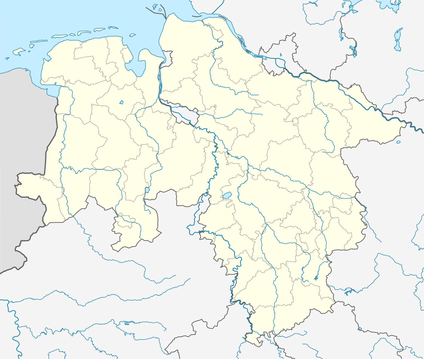
| Description | Quadratische Plattkarte, N-S-Streckung 160 %. Geographische Begrenzung der Karte:
Equirectangular projection, N/S stretching 160 %. Geographic limits of the map:
| ||||||||
| Date | |||||||||
| Source | Own work | ||||||||
| Author | NordNordWest | ||||||||
| Permission (Reusing this file) | I, the copyright holder of this work, hereby publish it under the following licenses:
You may select the license of your choice. | ||||||||
| Other versions |
| ||||||||
| SVG development | This locator map was created with Adobe Illustrator by NordNordWest.
|


File history
Click on a date/time to view the file as it appeared at that time.
| Date/Time | Thumbnail | Dimensions | User | Comment | |
|---|---|---|---|---|---|
| current | 20:36, 31 October 2016 | | 1,422 × 1,202 (250 KB) | NordNordWest | upd |
| 17:26, 2 July 2014 |  | 1,422 × 1,202 (250 KB) | NordNordWest | upd | |
| 10:14, 10 April 2011 |  | 1,422 × 1,202 (255 KB) | NordNordWest | corr | |
| 10:01, 19 January 2010 |  | 1,422 × 1,202 (318 KB) | NordNordWest | update | |
| 21:44, 11 December 2008 |  | 1,424 × 1,203 (370 KB) | NordNordWest | {{Information |Description= {{de|Positionskarte von Niedersachen, Deutschland}} Quadratische Plattkarte, N-S-Streckung 160 %. Geographische Begrenzung der Karte: * N: 54.0° N * S: 51.2° N * W: 6.5° O * O: 11.8� |
File usage
There are no pages that use this file.
Global file usage
The following other wikis use this file:
- Usage on ar.wikipedia.org
- Usage on azb.wikipedia.org
- Usage on ba.wikipedia.org
- Usage on be.wikipedia.org
- Usage on bg.wikipedia.org
- Usage on ceb.wikipedia.org
- Usage on cs.wikipedia.org
- Usage on cv.wikipedia.org
- Usage on da.wikipedia.org
- Usage on de.wikipedia.org
View more global usage of this file.
Metadata
Explore the world

United states
New York

Japan
Tokyo

Singapore
Singapore
