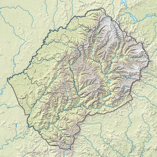
Size of this PNG preview of this SVG file: 600 × 600 pixels. Other resolutions: 240 × 240 pixels | 480 × 480 pixels | 768 × 768 pixels | 1,024 × 1,024 pixels | 2,048 × 2,048 pixels | 765 × 765 pixels.
Original file (SVG file, nominally 765 × 765 pixels, file size: 770 KB)
File history
Click on a date/time to view the file as it appeared at that time.
| Date/Time | Thumbnail | Dimensions | User | Comment | |
|---|---|---|---|---|---|
| current | 21:20, 13 March 2017 |  | 765 × 765 (770 KB) | NordNordWest | == {{int:filedesc}} == {{Information |Description= {{de|1=Positionskarte von Lesotho}} {{en|1=Location map of Lesotho}} {{Location map series N |stretching=116 |top=-28.3 |bottom=-31.0 |left=26.9 |right=29.6 }} |Source={{Own using}} * United States Nat... |
File usage
There are no pages that use this file.
Global file usage
The following other wikis use this file:
- Usage on ar.wikipedia.org
- Usage on ast.wikipedia.org
- Usage on az.wikipedia.org
- Usage on bg.wikipedia.org
- Usage on bn.wikipedia.org
- Usage on bs.wikipedia.org
- Usage on ceb.wikipedia.org
- Usage on ce.wikipedia.org
- Usage on cs.wikipedia.org
- Usage on da.wikipedia.org
- Usage on de.wikipedia.org
- Thabana Ntlenyana
- Lesotho
- Katse-Talsperre
- Maletsunyane-Wasserfall
- Vorlage:Positionskarte Lesotho
- Wikipedia:Kartenwerkstatt/Positionskarten/Afrika
- Sehlabathebe-Nationalpark
- Mohale-Talsperre
- Karoo-Ferrar-Magmaprovinzen
- Ts’ehlanyane-Nationalpark
- Königlicher Palast (Lesotho)
- Maboloka (Berg)
- Likhoele
- Makoaneng
- Sefikeng (Berg)
- Sefikaning (Berg)
- Benutzer:Shi Annan/Koeneng
- Tlapaneng
- Thaba Bosigo
- Usage on de.wikivoyage.org
- Usage on el.wikipedia.org
- Usage on en.wikipedia.org
View more global usage of this file.


 Français
 Italiano


