
 Français
 Italiano
Original file (SVG file, nominally 1,488 × 673 pixels, file size: 68 KB)
This is a file from the Wikimedia Commons and may be used by other projects. Information from its description page there is shown below. Commons is a freely licensed media file repository. |
Summary
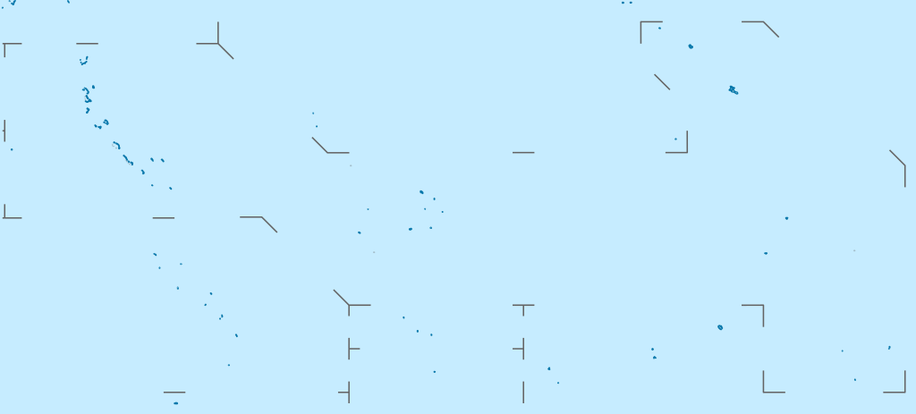
| Description | Deutsch: Positionskarte von Kiribati Quadratische Plattkarte. Geographische Begrenzung der Karte:
English: Location map of Kiribati Equirectangular projection. Geographic limits of the map:
| |
| Date | ||
| Source | Own work, using
| |
| Author | NordNordWest | |
| Permission (Reusing this file) |
This file is licensed under the Creative Commons Attribution-Share Alike 3.0 Germany license.
 This file is licensed under the Creative Commons Attribution-Share Alike 3.0 Germany license.
| |
| Other versions |
|


 | This map has been made or improved in the German Kartenwerkstatt (Map Lab). You can propose maps to improve as well. |
File history
Click on a date/time to view the file as it appeared at that time.
| Date/Time | Thumbnail | Dimensions | User | Comment | |
|---|---|---|---|---|---|
| current | 15:52, 23 February 2021 | | 1,488 × 673 (68 KB) | NordNordWest | Reverted to version as of 09:54, 1 April 2010 (UTC), sorry, but this is not location map style |
| 13:08, 23 February 2021 |  | 1,488 × 673 (137 KB) | Amitchell125 | borders made visible with minor corrections | |
| 09:54, 1 April 2010 |  | 1,488 × 673 (68 KB) | NordNordWest | c | |
| 20:04, 5 March 2010 |  | 1,488 × 673 (84 KB) | NordNordWest | == {{int:filedesc}} == {{Information |Description= {{de|Positionskarte von Kiribati}} Quadratische Plattkarte. Geographische Begrenzung der Karte: * N: 6° N * S: 13° S * W: 169° O * O: 149° W {{en|Location map of [[:en:Kiribati|Kiriba |
File usage
There are no pages that use this file.
Global file usage
The following other wikis use this file:
- Usage on af.wikipedia.org
- Usage on als.wikipedia.org
- Usage on an.wikipedia.org
- Usage on ar.wikipedia.org
- Usage on ast.wikipedia.org
- Usage on az.wikipedia.org
- Usage on ba.wikipedia.org
- Usage on be-tarask.wikipedia.org
- Usage on be.wikipedia.org
- Usage on bg.wikipedia.org
- Usage on bh.wikipedia.org
- Usage on bn.wikipedia.org
- Usage on bs.wikipedia.org
- Usage on ceb.wikipedia.org
View more global usage of this file.
Metadata
Explore the world

United states
New York

Japan
Tokyo

Singapore
Singapore
