
 Français
 Italiano
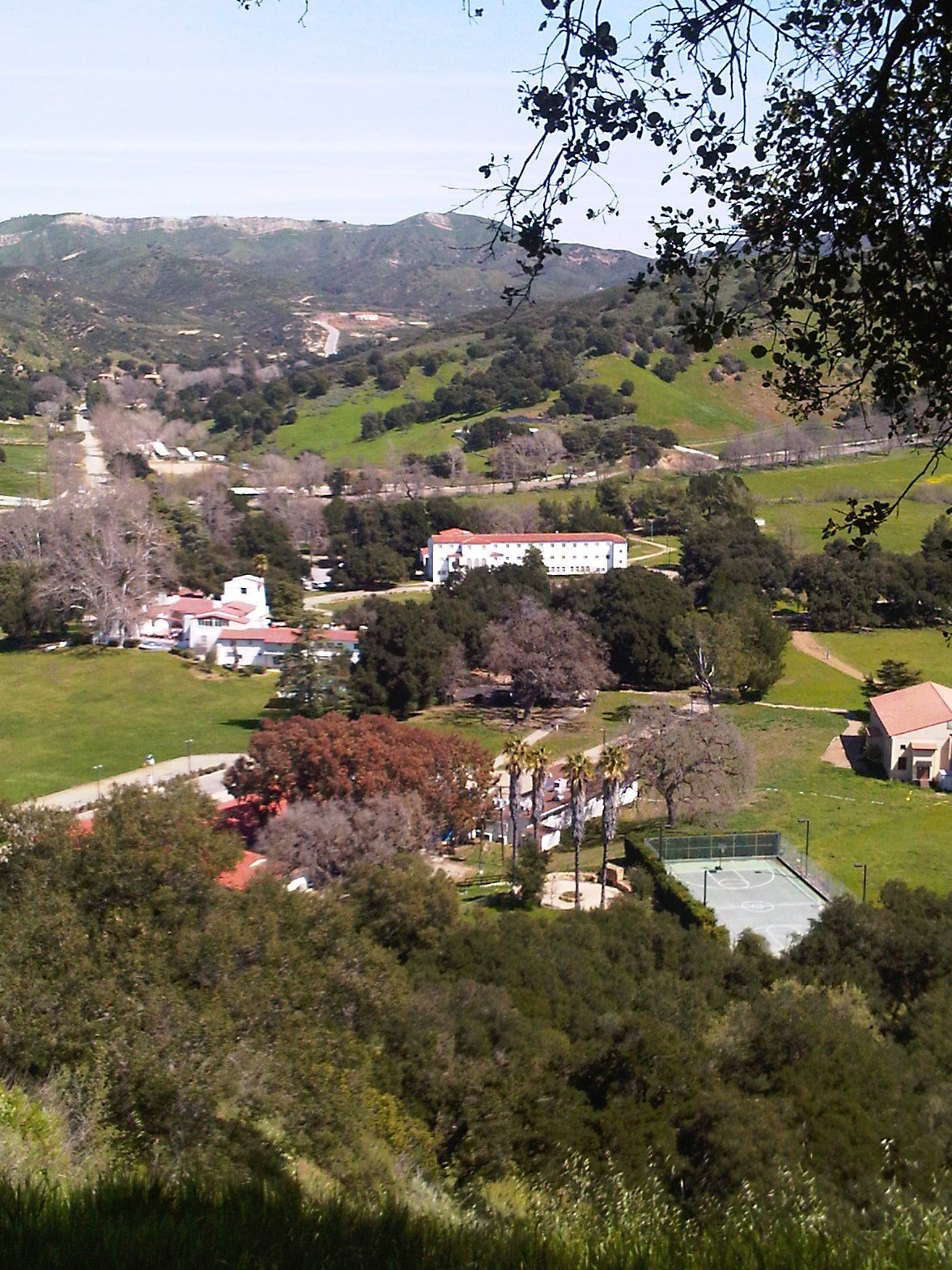
Size of this preview: 450 × 600 pixels. Other resolutions: 180 × 240 pixels | 360 × 480 pixels | 576 × 768 pixels | 1,176 × 1,568 pixels.
Original file (1,176 × 1,568 pixels, file size: 444 KB, MIME type: image/jpeg)
This is a file from the Wikimedia Commons and may be used by other projects. Information from its description page there is shown below. Commons is a freely licensed media file repository. |
Summary
| Description | King Gillette Ranch, Santa Monica Mountains National Recreation Area, California. |
| Date | |
| Source | Own work |
| Author | Eoghanacht |
| Camera location | | View this and other nearby images on: OpenStreetMap |
|---|
Licensing
| I, the copyright holder of this work, release this work into the public domain. This applies worldwide. In some countries this may not be legally possible; if so: I grant anyone the right to use this work for any purpose, without any conditions, unless such conditions are required by law. |
File history
Click on a date/time to view the file as it appeared at that time.
| Date/Time | Thumbnail | Dimensions | User | Comment | |
|---|---|---|---|---|---|
| current | 13:33, 19 March 2010 | | 1,176 × 1,568 (444 KB) | Eoghanacht | {{Information |Description=King Gillette Ranch, Santa Monica Mountains National Recreation Area, California. |Source={{own}} |Date=2010 March 16 |Author=Eoghanacht |Permission= |other_versions= }} [[Category:Santa Monica Mountains Nati |
File usage
The following 2 pages use this file:
Global file usage
The following other wikis use this file:
- Usage on en.wikipedia.org
- Usage on es.wikivoyage.org
- Usage on vi.wikipedia.org
- Usage on www.wikidata.org
Metadata
Explore the world

United states
New York

Japan
Tokyo

Singapore
Singapore
