
 Français
 Italiano
Size of this PNG preview of this SVG file: 582 × 580 pixels. Other resolutions: 241 × 240 pixels | 482 × 480 pixels | 771 × 768 pixels | 1,028 × 1,024 pixels | 2,055 × 2,048 pixels.
Original file (SVG file, nominally 582 × 580 pixels, file size: 707 KB)
This is a file from the Wikimedia Commons and may be used by other projects. Information from its description page there is shown below. Commons is a freely licensed media file repository. |
Summary
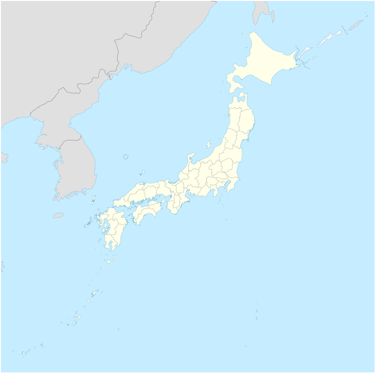
| Description | Deutsch: Postionskarte von Japan Quadratische Plattkarte. Geographische Begrenzung der Karte:
English: Location map of Japan Equirectangular projection. Geographic limits of the map:
| ||
| Date | |||
| Source | own work, using Image:Japan_admin_levels.svg | ||
| Author | Maximilian Dörrbecker (Chumwa) | ||
| Permission (Reusing this file) | I, the copyright holder of this work, hereby publish it under the following licenses:
This file is licensed under the Creative Commons Attribution-Share Alike 3.0 Unported license.
You may select the license of your choice. | ||
| Other versions | Derivative works of this file: National Treasures of Japan (archaeological materials).png
|


.png)
 | This map has been made or improved in the German Kartenwerkstatt (Map Lab). You can propose maps to improve as well. |
File history
Click on a date/time to view the file as it appeared at that time.
| Date/Time | Thumbnail | Dimensions | User | Comment | |
|---|---|---|---|---|---|
| current | 05:18, 14 November 2020 | | 582 × 580 (707 KB) | AichiWikiFixer | Reverted to version as of 16:25, 5 April 2020 (UTC) |
| 05:18, 14 November 2020 |  | 413 × 373 (980 KB) | AichiWikiFixer | Fix borders. | |
| 16:25, 5 April 2020 |  | 582 × 580 (707 KB) | NordNordWest | Reverted to version as of 10:32, 21 February 2013 (UTC); no discussion about this change; in this set of maps disputed areas are always shown in light grey | |
| 14:25, 5 April 2020 |  | 582 × 580 (726 KB) | Туча | Итуруп и Кунашир серым цветом | |
| 10:32, 21 February 2013 |  | 582 × 580 (707 KB) | NordNordWest | Reverted to version as of 13:56, 30 October 2010; no need to revert, no discussion for this | |
| 09:17, 21 February 2013 |  | 582 × 580 (1.21 MB) | Pauk | Reverted to version as of 01:23, 17 September 2010 | |
| 13:56, 30 October 2010 |  | 582 × 580 (707 KB) | NordNordWest | Liancourt Rocks boundary | |
| 01:23, 17 September 2010 |  | 582 × 580 (1.21 MB) | Dinamik | medium color for disputed territories | |
| 11:40, 21 March 2010 |  | 582 × 580 (1.18 MB) | Chumwa | Präfekturgrenzen bereinigt | |
| 09:55, 20 March 2010 |  | 582 × 580 (1.37 MB) | Chumwa | einige Inseln ergänzt und diverse Lagekorrekturen durchgeführt |
File usage
There are no pages that use this file.
Global file usage
The following other wikis use this file:
- Usage on ba.wikipedia.org
- Usage on bcl.wikipedia.org
- Usage on bg.wikinews.org
- Usage on crh.wikipedia.org
- Usage on da.wikipedia.org
- Usage on de.wikipedia.org
- Usage on en.wikipedia.org
- Iwo Jima
- Cities designated by government ordinance of Japan
- Ogasawara, Tokyo
- Chichijima
- Hahajima
- Senhata, Akita
- Hiranai
- Hachijō-jima
- Yonaguni Monument
- North Iwo Jima
- South Iwo Jima
- Fukutoku-Okanoba
- 2013–14 FIS Ski Jumping World Cup
- Wikipedia talk:WikiProject Geographical coordinates/Archive 29
- 2020 Summer Olympics torch relay
- Module:Location map/data/Japan complete
- Module:Location map/data/Japan complete/doc
- 2015 Ogasawara earthquake
- Chibusa Dam
- Nakōdo-jima
- Naval Base Iwo Jima
- User:Turbo Slayer 2021
- User:Mr J 2023
- 1931 Empress of Canada stabbings
- List of mass stabbing incidents (before 2010)
- Otōtojima
- Imōtojima
- Usage on eo.wikipedia.org
View more global usage of this file.
Metadata
Explore the world

United states
New York

Japan
Tokyo

Singapore
Singapore
