
 Français
 Italiano
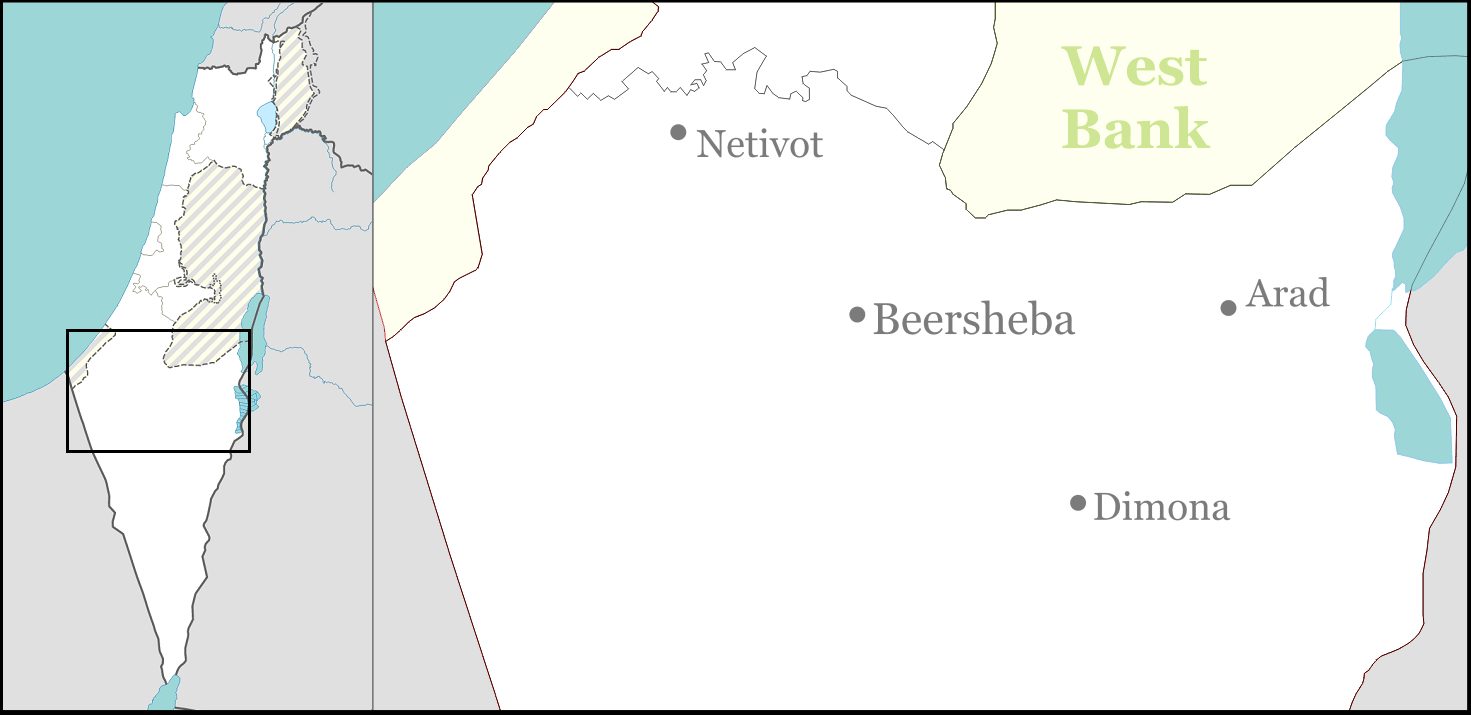
Size of this preview: 800 × 389 pixels. Other resolutions: 320 × 156 pixels | 640 × 311 pixels | 1,471 × 715 pixels.
Original file (1,471 × 715 pixels, file size: 135 KB, MIME type: image/png)
This is a file from the Wikimedia Commons and may be used by other projects. Information from its description page there is shown below. Commons is a freely licensed media file repository. |
Summary
| Description | English: Large part of the Negev Desert for Israeli location maps. |
| Date | |
| Source | Own work |
| Author | Ynhockey |
Licensing
I, the copyright holder of this work, hereby publish it under the following licenses:
This file is licensed under the Creative Commons Attribution-Share Alike 3.0 Unported license.
- You are free:
- to share – to copy, distribute and transmit the work
- to remix – to adapt the work
- Under the following conditions:
- attribution – You must give appropriate credit, provide a link to the license, and indicate if changes were made. You may do so in any reasonable manner, but not in any way that suggests the licensor endorses you or your use.
- share alike – If you remix, transform, or build upon the material, you must distribute your contributions under the same or compatible license as the original.
 | Permission is granted to copy, distribute and/or modify this document under the terms of the GNU Free Documentation License, Version 1.2 or any later version published by the Free Software Foundation; with no Invariant Sections, no Front-Cover Texts, and no Back-Cover Texts. A copy of the license is included in the section entitled GNU Free Documentation License. |
You may select the license of your choice.
File history
Click on a date/time to view the file as it appeared at that time.
| Date/Time | Thumbnail | Dimensions | User | Comment | |
|---|---|---|---|---|---|
| current | 17:31, 1 September 2016 | | 1,471 × 715 (135 KB) | Number 57 | Updated Israel map |
| 20:43, 3 March 2009 |  | 1,471 × 715 (40 KB) | Ynhockey | {{Information |Description={{en|1=Large part of the Negev Desert for Israeli location maps.}} |Source=Own work by uploader |Author=Ynhockey |Date=2009-03-03 |Permission= |other_versions= }} <!--{{ImageUpload|full}}--> [[Category:Maps of |
File usage
There are no pages that use this file.
Global file usage
The following other wikis use this file:
- Usage on ar.wikipedia.org
- Usage on ceb.wikipedia.org
- Usage on el.wikipedia.org
- Usage on en.wikipedia.org
- Dimona
- Arad, Israel
- Beersheba
- Netivot
- Yeruham
- Hura
- Mashabei Sadeh
- Eshel HaNasi
- Meitar
- Drijat
- Lehavim
- Kuseife
- Omer, Israel
- Lakiya
- Shaqib al-Salam
- Ar'arat an-Naqab
- Tel Sheva
- Nitzanei Sinai
- Nevatim Airbase
- Hatzerim Airbase
- Nevatim
- Retamim
- Revivim
- Tlalim
- Merhav Am
- Ashalim
- Kmehin
- Abu Qrenat
- Bir Hadaj
- Har Amasa
- Umm Batin
- 2008 Dimona suicide bombing
- Neve Zohar
- Ein Tamar
- Neot HaKikar
- Ne'ot Hovav
- Al-Sayyid, Israel
- Makhul
- Mulada
- Qasr al-Sir
- Kramim
- Lahav
- Be'er Milka
- Ma'ale Akrabim massacre
- Carmit
- Module:Location map/data/Israel north negev/doc
- Template:Infobox Israel village/testcases
View more global usage of this file.
Metadata
Explore the world

United states
New York

Japan
Tokyo

Singapore
Singapore
