
 Français
 Italiano
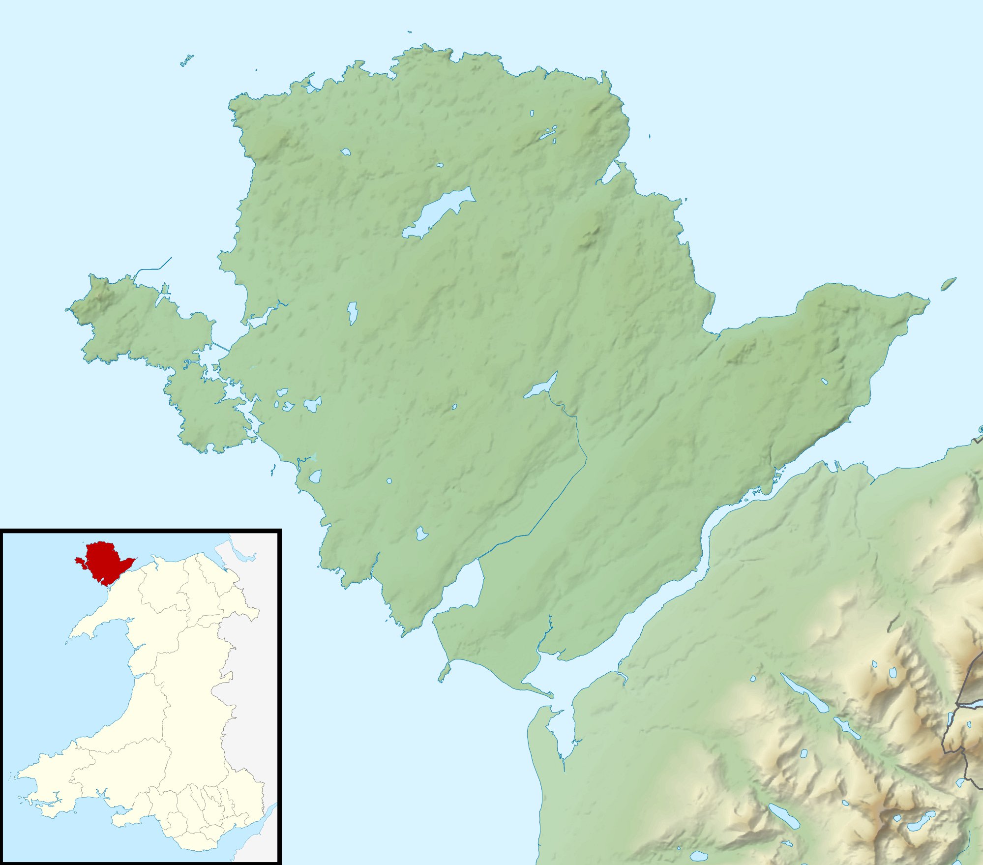
Size of this preview: 681 × 599 pixels. Other resolutions: 273 × 240 pixels | 546 × 480 pixels | 873 × 768 pixels | 1,164 × 1,024 pixels | 1,999 × 1,759 pixels.
Original file (1,999 × 1,759 pixels, file size: 256 KB, MIME type: image/jpeg)
This is a file from the Wikimedia Commons and may be used by other projects. Information from its description page there is shown below. Commons is a freely licensed media file repository. |
| Description | Relief map of Anglesey, UK. Equirectangular map projection on WGS 84 datum, with N/S stretched 165% Geographic limits:
|
| Date | |
| Source |
|
| Author | Nilfanion, created using Ordnance Survey data |
| Permission (Reusing this file) | This file is licensed under the Creative Commons Attribution-Share Alike 3.0 Unported license. Attribution: Contains Ordnance Survey data © Crown copyright and database right
|
| Other versions | File:Isle of Anglesey UK map.svg - Blank map |
 | This map image could be re-created using vector graphics as an SVG file. This has several advantages; see Commons:Media for cleanup for more information. If an SVG form of this image is available, please upload it and afterwards replace this template with {{vector version available|new image name}}.It is recommended to name the SVG file “Isle of Anglesey UK relief location map.svg”—then the template Vector version available (or Vva) does not need the new image name parameter. |


File history
Click on a date/time to view the file as it appeared at that time.
| Date/Time | Thumbnail | Dimensions | User | Comment | |
|---|---|---|---|---|---|
| current | 01:02, 30 November 2011 | | 1,999 × 1,759 (256 KB) | Nilfanion | {{Information |Description=Relief map of Anglesey, UK. Equirectangular map projection on WGS 84 datum, with N/S stretched 165% Geographic limits: *West: 4.75W *East: 4.00W *North: 53.45N *South: 53.05N |Source=[[w:Ordnance Survey| |
File usage
There are no pages that use this file.
Global file usage
The following other wikis use this file:
- Usage on ar.wikipedia.org
- Usage on ceb.wikipedia.org
- Usage on cs.wikipedia.org
- Usage on de.wikipedia.org
- Usage on en.wikipedia.org
- Menai Strait
- Bryn Celli Ddu
- Holyhead Mountain
- Llyn Alaw
- Afon Cadnant
- Llys Rhosyr
- Llyn Cefni
- Afon Cefni
- Beaumaris Gaol
- Llyn Llywenan
- Module:Location map/data/Wales Anglesey/doc
- Llanfaethlu
- Battle of Anglesey Sound
- Cymyran Strait
- Afon Braint
- St Gwenfaen's Well
- User:Robevans123/sandbox/St Allgo's Well
- User:Robevans123/sandbox/St Seirol's Well
- Trearddur Bay Lifeboat Station
- Menai Strait fish weirs
- Porth Wen Brickworks
- Llanddona fish weir
- Module:Location map/data/Wales Anglesey
- Hafotty
- Victoria Terrace, Beaumaris
- Craig y Mor
- Mynydd Eilian
- Bulkeley Hotel
- Usage on es.wikipedia.org
- Usage on fr.wikipedia.org
- Usage on he.wikipedia.org
View more global usage of this file.
Explore the world

United states
New York

Japan
Tokyo

Singapore
Singapore
