
 Français
 Italiano
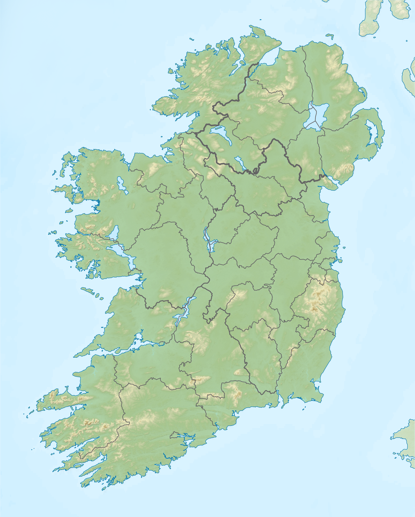
Size of this preview: 481 × 599 pixels. Other resolutions: 192 × 240 pixels | 385 × 480 pixels | 616 × 768 pixels | 822 × 1,024 pixels | 1,450 × 1,807 pixels.
Original file (1,450 × 1,807 pixels, file size: 2.07 MB, MIME type: image/png)
This is a file from the Wikimedia Commons and may be used by other projects. Information from its description page there is shown below. Commons is a freely licensed media file repository. |
| Description | Relief map of Ireland Equirectangular map projection on WGS 84 datum, with N/S stretched 170% Geographic limits:
|
| Date | |
| Source | Shuttle Radar Topography Mission
National Geospatial-Intelligence Agency
File:Island of Ireland location map.svg: Rannpháirtí anaithnid
|
| Author | Nilfanion |
| Permission (Reusing this file) | This file is licensed under the Creative Commons Attribution-Share Alike 3.0 Unported license.
|
File history
Click on a date/time to view the file as it appeared at that time.
| Date/Time | Thumbnail | Dimensions | User | Comment | |
|---|---|---|---|---|---|
| current | 12:36, 26 May 2019 | | 1,450 × 1,807 (2.07 MB) | RaviC | updated per Wikipedia:Graphics_Lab/Map_workshop#Ireland_Relief_Map_-_2014_Changes |
| 04:07, 8 May 2012 |  | 1,450 × 1,807 (1.75 MB) | Spideog | Removed dark blue shading at top left for aesthetic balance reasons. It was distracting, and the the map is for terrestrial rather than bathymetric purposes. | |
| 22:44, 15 April 2012 |  | 1,450 × 1,807 (1.6 MB) | Nilfanion | {{Information |Description=Relief map of Ireland Equirectangular map projection on WGS 84 datum, with N/S stretched 170% Geographic limits: *West: 11.0° W *East: 5.0° W *North: 55.6° N *South: 51.2° N |Source= [[w:Shuttle Radar Topo... |
File usage
There are no pages that use this file.
Global file usage
The following other wikis use this file:
- Usage on ar.wikipedia.org
- Usage on az.wikipedia.org
- Usage on be.wikipedia.org
- Usage on bn.wikipedia.org
- Usage on ceb.wikipedia.org
- Usage on ce.wikipedia.org
- Usage on da.wikipedia.org
- Usage on de.wikipedia.org
- Usage on en.wikipedia.org
- Achill Island
- Battle of the Boyne
- Rock of Cashel
- MacGillycuddy's Reeks
- Hill of Tara
- Magh Slécht
- Lough Derg, County Donegal
- RMS Lusitania
- Turlough Hill
- Mourne Mountains
- Copeland Islands
- Valentia Island
- Skellig Islands
- Carrauntoohil
- Lough Owel
- Barleycove
- Lough Ennell
- Treaty of Limerick
- Lough Swilly
- Lough Allen
- Lough Gur
- Mount Brandon
- Lebor na hUidre
- Clarkstown radio transmitter
View more global usage of this file.
Metadata
Explore the world

United states
New York

Japan
Tokyo

Singapore
Singapore
