
 Français
 Italiano
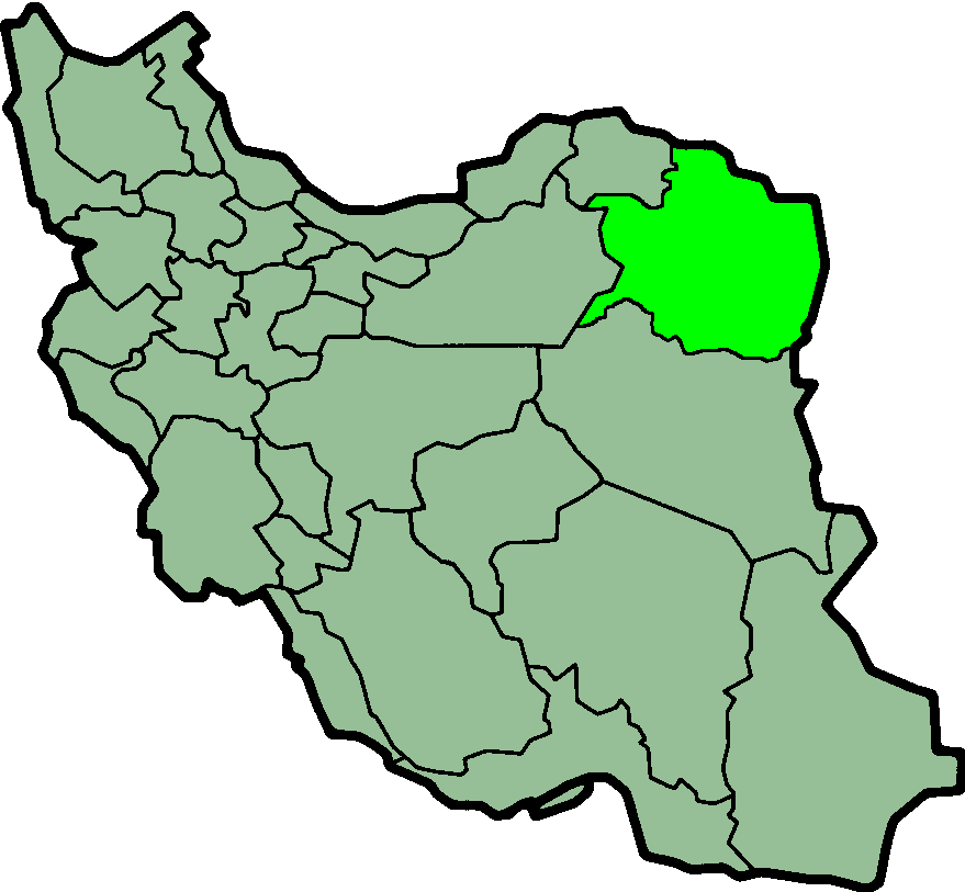
Size of this preview: 648 × 599 pixels. Other resolutions: 260 × 240 pixels | 519 × 480 pixels | 879 × 813 pixels.
Original file (879 × 813 pixels, file size: 25 KB, MIME type: image/png)
This is a file from the Wikimedia Commons and may be used by other projects. Information from its description page there is shown below. Commons is a freely licensed media file repository. |
 | File:IranRazaviKhorasan-SVG.svg is a vector version of this file. It should be used in place of this PNG file when not inferior. File:IranRazaviKhorasan.png → File:IranRazaviKhorasan-SVG.svg For more information, see Help:SVG. |  |
Summary
Razavi Khorasan, an Iranian province, created by Kaveh,
Licensing
| This file is licensed under the Creative Commons Attribution-Share Alike 3.0 Unported license. Subject to disclaimers. | ||
| ||
| This licensing tag was added to this file as part of the GFDL licensing update. |
 | Permission is granted to copy, distribute and/or modify this document under the terms of the GNU Free Documentation License, Version 1.2 or any later version published by the Free Software Foundation; with no Invariant Sections, no Front-Cover Texts, and no Back-Cover Texts. A copy of the license is included in the section entitled GNU Free Documentation License. Subject to disclaimers. |
File history
Click on a date/time to view the file as it appeared at that time.
| Date/Time | Thumbnail | Dimensions | User | Comment | |
|---|---|---|---|---|---|
| current | 00:14, 24 June 2013 | | 879 × 813 (25 KB) | BasilLeaf | بروزرسانی مرز بین استانهای یزد و خراسان جنوبی، تهران و البرز، فارس و یزد و اصفهان |
| 12:01, 12 November 2010 |  | 879 × 813 (41 KB) | M samadi | Quality improved, Border of some provinces updated. | |
| 12:58, 13 October 2010 |  | 200 × 185 (8 KB) | Amin19850 | Tehran & Alborz Province is divided | |
| 18:55, 8 November 2006 |  | 200 × 185 (5 KB) | Raymond | transparent background, improved color palette | |
| 15:20, 14 December 2005 |  | 200 × 185 (7 KB) | Kotoito | Razavi Khorasan, an Iranian province, created by Kaveh, en:Image:IranRazaviKhorasan.png |
File usage
There are no pages that use this file.
Global file usage
The following other wikis use this file:
- Usage on bn.wikipedia.org
- Usage on ca.wikipedia.org
- Usage on ceb.wikipedia.org
- Usage on ckb.wikipedia.org
- Usage on da.wikipedia.org
- Usage on de.wikipedia.org
- Usage on de.wikinews.org
- Usage on el.wikipedia.org
- Usage on en.wikipedia.org
- Tus, Iran
- Torqabeh
- Helal
- Kusan, Iran
- Buzhgan
- Chenaran
- Tandooreh National Park
- Mount Binalud
- Torbat-e Jam County
- Dargaz County
- Kashmar County
- Ganju
- Bajestan
- Sabzevar Airport
- Bidokht
- Chezg
- Taybad
- Mokhtari
- Kalat, Razavi Khorasan
- Template:RazaviKhorasan-geo-stub
- Sebi, Zaveh
- Qasemabad, Khaf
- Bid Khan
- Golom
- Dowlui
- User:AlexNebraska/Images of Iran
- Chahchaheh
- Mirza Hasan
- Kalat-e Naderi
- Golbin
- Kashaf
- Bezd
- Laj, Razavi Khorasan
- Qajaq
- Narg
- Zuzan
- Islamic Azad University, Sabzevar Branch
- Bargow
- Sakhdar
- Jangal
- Orfi, Mashhad
View more global usage of this file.
Metadata
Explore the world

United states
New York

Japan
Tokyo

Singapore
Singapore
