
 Français
 Italiano
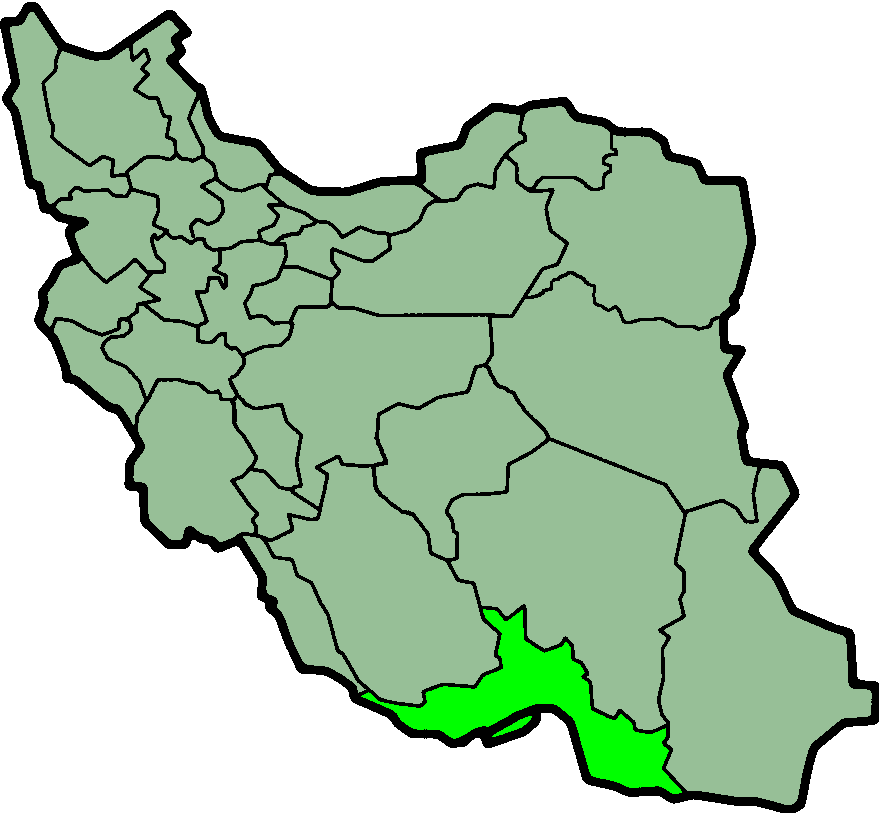
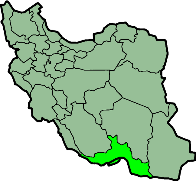
Size of this preview: 648 × 599 pixels. Other resolutions: 260 × 240 pixels | 519 × 480 pixels | 879 × 813 pixels.
Original file (879 × 813 pixels, file size: 25 KB, MIME type: image/png)
This is a file from the Wikimedia Commons and may be used by other projects. Information from its description page there is shown below. Commons is a freely licensed media file repository. |
Province of Hormozgan, Iran
 | This file has been superseded by IranHormozgan-SVG.svg. It is recommended to use the other file. Please note that deleting superseded images requires consent. |  |
Taken from en:Image:IranHormozgan.png
Created by en:User:Morwen
 | Permission is granted to copy, distribute and/or modify this document under the terms of the GNU Free Documentation License, Version 1.2 or any later version published by the Free Software Foundation; with no Invariant Sections, no Front-Cover Texts, and no Back-Cover Texts. A copy of the license is included in the section entitled GNU Free Documentation License. |
| This file is licensed under the Creative Commons Attribution-Share Alike 3.0 Unported license. | ||
| ||
| This licensing tag was added to this file as part of the GFDL licensing update. |
File history
Click on a date/time to view the file as it appeared at that time.
| Date/Time | Thumbnail | Dimensions | User | Comment | |
|---|---|---|---|---|---|
| current | 23:53, 23 June 2013 | | 879 × 813 (25 KB) | BasilLeaf | بروزرسانی مرز بین استانهای یزد و خراسان جنوبی، تهران و البرز، فارس و یزد و اصفهان |
| 11:47, 12 November 2010 |  | 879 × 813 (41 KB) | M samadi | Border of some provinces updated. | |
| 13:12, 13 October 2010 |  | 697 × 614 (113 KB) | Amin19850 | Tehran & Alborz Province is divided | |
| 23:36, 9 March 2007 |  | 697 × 614 (91 KB) | KureCewlik81 | ||
| 08:49, 8 November 2006 |  | 200 × 185 (10 KB) | Raymond | transparent background, improved colour palette | |
| 10:40, 17 September 2005 |  | 200 × 185 (20 KB) | Dodo | Province of Hormozgan, Iran Taken from en:Image:IranHormozgan.png Created by en:User:Morwen {{GFDL}} Category:Maps of Iran |
File usage
There are no pages that use this file.
Global file usage
The following other wikis use this file:
- Usage on ar.wikipedia.org
- Usage on az.wikipedia.org
- Usage on bn.wikipedia.org
- Usage on ca.wikipedia.org
- Usage on ckb.wikipedia.org
- Usage on da.wikipedia.org
- Usage on el.wikipedia.org
- Usage on en.wikipedia.org
- Gis, Iran
- Hendurabi
- Lavan Island
- Minab
- Bastak
- Morbagh
- Bandar Charak
- Bajari
- Barast
- Harireh
- Podol, Iran
- Kish, Iran
- Bandar Lengeh County
- Qeshm County
- Parsian County
- Hengam Island
- Sirri Island
- Shidvar Island
- Bandar Abbas International Airport
- Bandar Lengeh Airport
- Kish International Airport
- Qil
- Template:Hormozgan-geo-stub
- User:AlexNebraska/Images of Iran
- Hajjiabad, Hormozgan
- Salakh
- Karti
- Golparak
- Armaki
- Bahal, Iran
- Rudan
- Bandar Khamir
- Fin, Iran
- Jenah
- Fareghan
- Ruydar
- Senderk
- Hasht Bandi
- Parsian, Iran
- Dargahan
View more global usage of this file.
Metadata
Explore the world

United states
New York

Japan
Tokyo

Singapore
Singapore
