
 Français
 Italiano
Size of this preview: 799 × 319 pixels. Other resolutions: 320 × 128 pixels | 640 × 256 pixels | 1,024 × 409 pixels | 1,280 × 511 pixels | 2,560 × 1,022 pixels | 7,153 × 2,856 pixels.
Original file (7,153 × 2,856 pixels, file size: 21.4 MB, MIME type: image/jpeg)
This is a file from the Wikimedia Commons and may be used by other projects. Information from its description page there is shown below. Commons is a freely licensed media file repository. |
Summary
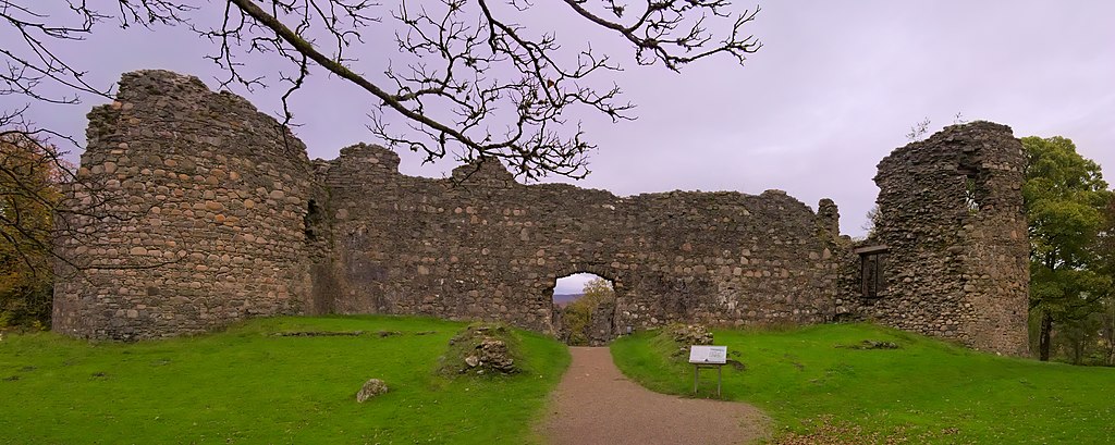
| Description | English: Main facade of the ruins of Inverlochy Castle near Fort William, Scotland. |
| Date | |
| Source | Own work |
| Author | Daniel Kraft |
| Camera location | | View this and other nearby images on: OpenStreetMap |
|---|
 | NOTE: This image is a panorama consisting of 2 frames that were merged or stitched in Hugin. As a result, this image necessarily underwent some form of digital manipulation. These manipulations may include blending, blurring, cloning, and colour and perspective adjustments. As a result of these adjustments, the image content may be slightly different from reality at the points where multiple images were combined. This manipulation is often required due to lens, perspective, and parallax distortions.
|
This image was created with Hugin.
Licensing
I, the copyright holder of this work, hereby publish it under the following license:
This file is licensed under the Creative Commons Attribution-Share Alike 3.0 Unported license.
- You are free:
- to share – to copy, distribute and transmit the work
- to remix – to adapt the work
- Under the following conditions:
- attribution – You must give appropriate credit, provide a link to the license, and indicate if changes were made. You may do so in any reasonable manner, but not in any way that suggests the licensor endorses you or your use.
- share alike – If you remix, transform, or build upon the material, you must distribute your contributions under the same or compatible license as the original.
File history
Click on a date/time to view the file as it appeared at that time.
| Date/Time | Thumbnail | Dimensions | User | Comment | |
|---|---|---|---|---|---|
| current | 10:38, 14 November 2021 | 7,153 × 2,856 (21.4 MB) | Domob | Uploaded own work with UploadWizard |
File usage
The following page uses this file:
Metadata
Explore the world

United states
New York

Japan
Tokyo

Singapore
Singapore
