
 Français
 Italiano
Size of this PNG preview of this SVG file: 600 × 600 pixels. Other resolutions: 240 × 240 pixels | 480 × 480 pixels | 768 × 768 pixels | 1,024 × 1,024 pixels | 2,048 × 2,048 pixels | 1,250 × 1,250 pixels.
Original file (SVG file, nominally 1,250 × 1,250 pixels, file size: 6.75 MB)
This is a file from the Wikimedia Commons and may be used by other projects. Information from its description page there is shown below. Commons is a freely licensed media file repository. |
Summary
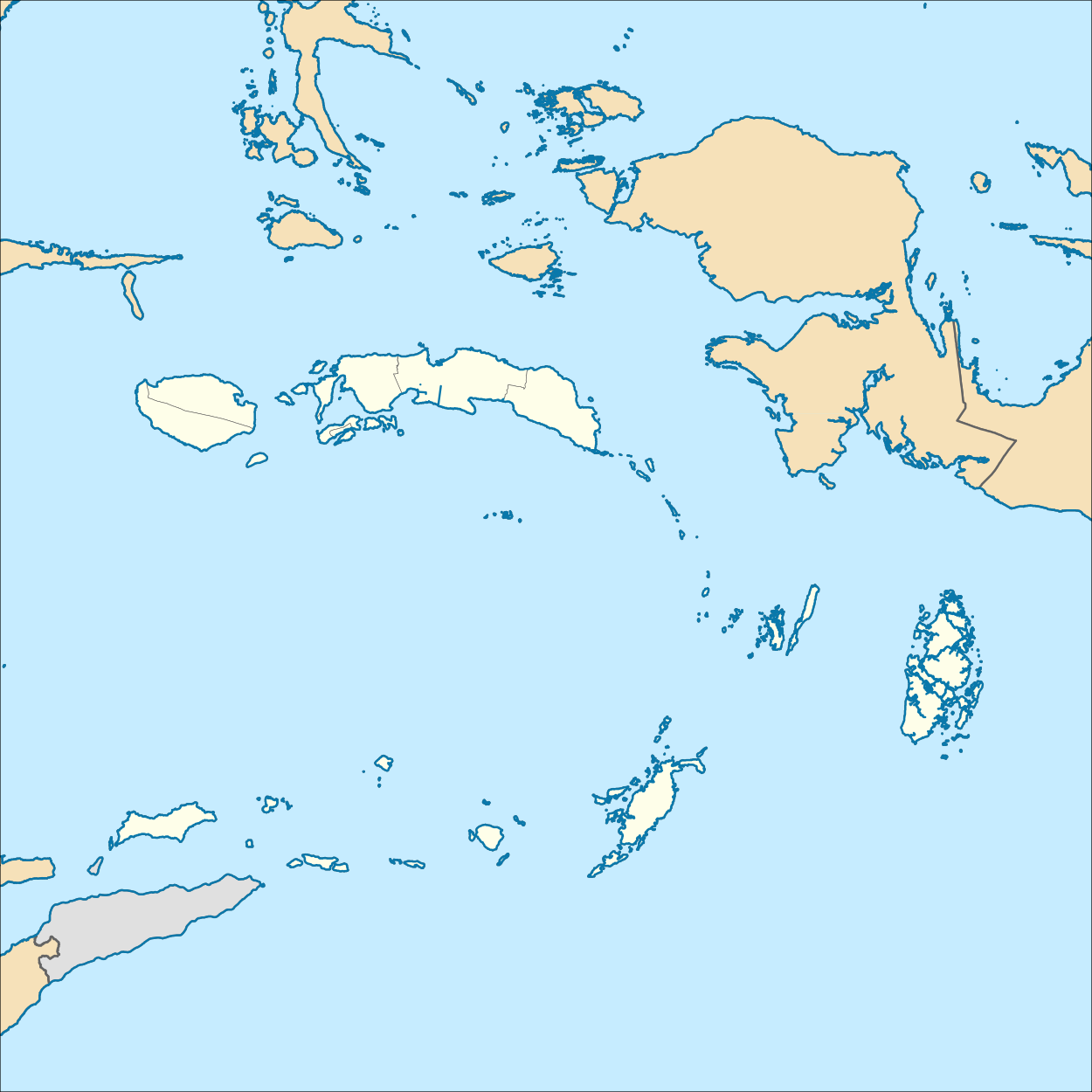
| Description | English: Location map of Maluku, Indonesia Geographic Coordinate System WGS 1984 (EPSG: 4326) Equirectangular Projection Geographic limits of the map:
|
| Date | |
| Source | Own work |
| Author | Mandamaruta |
Licensing
I, the copyright holder of this work, hereby publish it under the following license:
This file is licensed under the Creative Commons Attribution-Share Alike 4.0 International license.
- You are free:
- to share – to copy, distribute and transmit the work
- to remix – to adapt the work
- Under the following conditions:
- attribution – You must give appropriate credit, provide a link to the license, and indicate if changes were made. You may do so in any reasonable manner, but not in any way that suggests the licensor endorses you or your use.
- share alike – If you remix, transform, or build upon the material, you must distribute your contributions under the same or compatible license as the original.
File history
Click on a date/time to view the file as it appeared at that time.
| Date/Time | Thumbnail | Dimensions | User | Comment | |
|---|---|---|---|---|---|
| current | 07:59, 21 December 2017 | | 1,250 × 1,250 (6.75 MB) | Mandamaruta | User created page with UploadWizard |
File usage
There are no pages that use this file.
Global file usage
The following other wikis use this file:
- Usage on cs.wikipedia.org
- Usage on en.wikipedia.org
- Ambon Island
- Seram Island
- Ambon, Maluku
- Aru Islands Regency
- Waigeo
- Yamdena
- Obi (island)
- Mangole Island
- Sanana
- Emperor of China (volcano)
- Nieuwerkerk (volcano)
- Manuk
- Pattimura Airport
- Maba, Indonesia
- Trangan
- Misool
- Kobroor
- Tanahbesar
- Kai Besar
- Kai Kecil
- Batanta
- Maikoor
- Module:Location map/data/Indonesia Maluku/doc
- Sultan Babullah Airport
- Manusela National Park
- Buru Regency
- Central Maluku Regency
- South Buru Regency
- Southeast Maluku Regency
- Southwest Maluku Regency
- Tanimbar Islands Regency
- West Seram Regency
- East Seram Regency
- Rar Gwamar Airport
- Namrole Airport
- Namniwel Airport
- Salawati language
- Tual
- Nusa Laut
- Uruangnirin language
- As language
- Bandanaira Airport
- 1899 Ceram earthquake
- Masiwang River
- Kawa River
- Sapalewa River
- Eti River
- Tala River
- Salawai River
View more global usage of this file.
Metadata
Explore the world

United states
New York

Japan
Tokyo

Singapore
Singapore
