
 Français
 Italiano
Original file (SVG file, nominally 1,323 × 668 pixels, file size: 211 KB)
This is a file from the Wikimedia Commons and may be used by other projects. Information from its description page there is shown below. Commons is a freely licensed media file repository. |
Summary
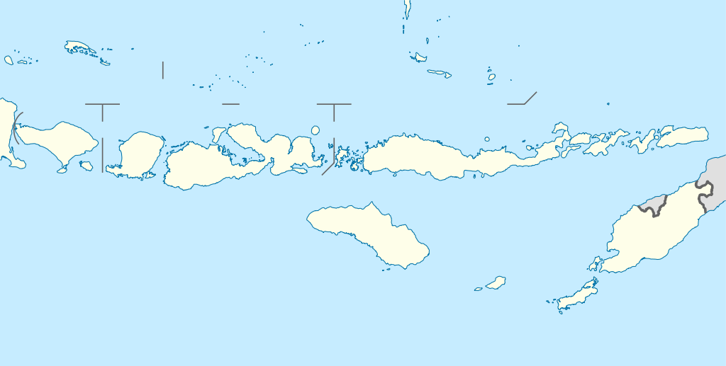
| Description | Quadratische Plattkarte, N-S-Streckung 101 %. Geographische Begrenzung der Karte:
Equirectangular projection, N/S stretching 101 %. Geographic limits of the map:
| ||
| Date | |||
| Source | Own work, using
| ||
| Author | NordNordWest | ||
| Permission (Reusing this file) |
This file is licensed under the Creative Commons Attribution-Share Alike 3.0 Germany license.
 This file is licensed under the Creative Commons Attribution-Share Alike 3.0 Germany license.
| ||
| Other versions | Derivative works of this file: Corvus florensis range map.svg | ||
| SVG development | This map was created with an unknown SVG tool.
|


File history
Click on a date/time to view the file as it appeared at that time.
| Date/Time | Thumbnail | Dimensions | User | Comment | |
|---|---|---|---|---|---|
| current | 11:33, 18 February 2011 | | 1,323 × 668 (211 KB) | NordNordWest | c |
| 20:08, 19 February 2010 |  | 1,323 × 668 (277 KB) | NordNordWest | =={{int:filedesc}}== {{Information |Description= {{de|Positionskarte der Kleinen Sunda-Inseln, Indonesien}} Quadratische Plattkarte, N-S-Streckung 101 %. Geographische Begrenzung der Karte: * N: 6.2° S * S: |
File usage
There are no pages that use this file.
Global file usage
The following other wikis use this file:
- Usage on az.wikipedia.org
- Usage on ban.wikipedia.org
- Usage on ba.wikipedia.org
- Usage on bn.wikipedia.org
- Usage on cs.wikipedia.org
- Usage on de.wikipedia.org
- Kuta
- Gili-Inseln
- Flores (Indonesien)
- Sumbawa
- Kupang
- Komodo (Insel)
- Lombokstraße
- Rinjani
- Kelimutu (Berg)
- Lembata
- Waingapu
- Wehali
- Laran
- Borong
- Fatu Sinai
- Sawu
- Solor
- Larantuka
- Labuan Bajo
- Atambua
- Semau
- Egon (Vulkan)
- Adonara
- Gili Meno
- Nusa Penida
- Wikipedia:Kartenwerkstatt/Positionskarten/Asien
- Gili Air
- Pantar (Insel)
- Atapupu
- Mena (Biboki Moenleu)
- Straße von Alor
- Penfui
- Batur (Vulkan)
- Vorlage:Positionskarte Indonesien Kleine Sundainseln
- Moyo (Insel)
- Poco Mandasawu
- Ende (Flores)
View more global usage of this file.
Explore the world

United states
New York

Japan
Tokyo

Singapore
Singapore
