
 Français
 Italiano
Size of this PNG preview of this SVG file: 481 × 385 pixels. Other resolutions: 300 × 240 pixels | 600 × 480 pixels | 960 × 768 pixels | 1,279 × 1,024 pixels | 2,559 × 2,048 pixels.
Original file (SVG file, nominally 481 × 385 pixels, file size: 10 KB)
This is a file from the Wikimedia Commons and may be used by other projects. Information from its description page there is shown below. Commons is a freely licensed media file repository. |
Summary
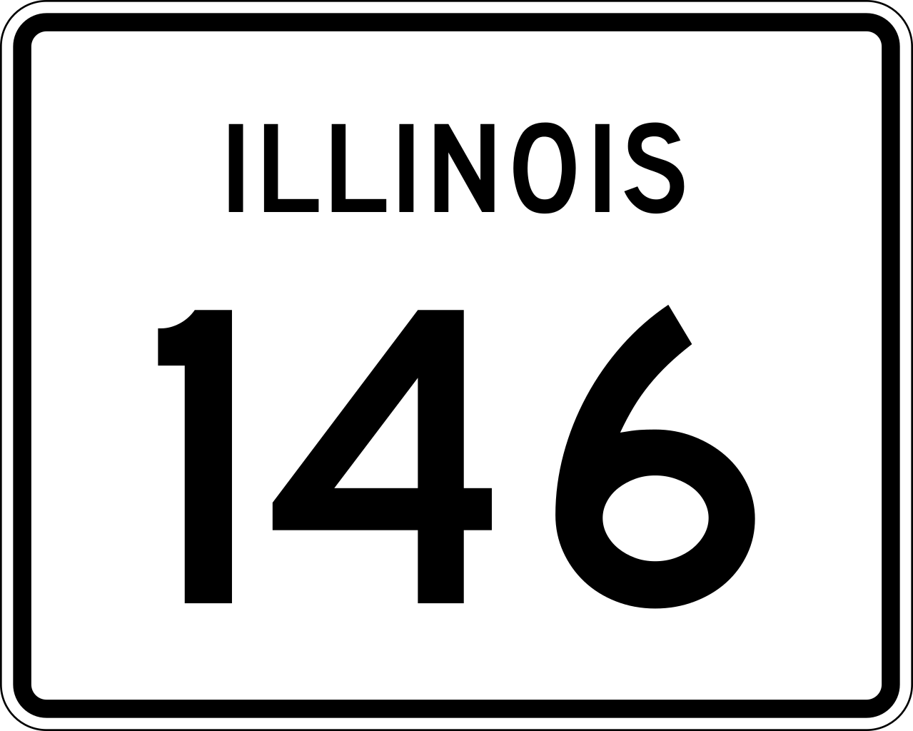
| Description | 30 in by 24 in (750 mm by 600 mm) Illinois Route shield, made to the specifications of the sign detail (sign M-I100). Uses the Roadgeek 2005 fonts. (United States law does not permit the copyrighting of typeface designs, and the fonts are meant to be copies of a U.S. Government-produced work anyway.) The outside border has a width of 1 (1/16 in) and a color of black so it shows up; in reality, signs have no outside border. | |||
| Source | Own work | |||
| Author | SPUI | |||
| Permission (Reusing this file) |
|
File history
Click on a date/time to view the file as it appeared at that time.
| Date/Time | Thumbnail | Dimensions | User | Comment | |
|---|---|---|---|---|---|
| current | 23:21, 13 April 2006 | | 481 × 385 (10 KB) | SPUI~commonswiki | {{spuiother}} {{Illinois Route|30|24|750|600}} Category:Illinois Route shields |
File usage
The following page uses this file:
Global file usage
The following other wikis use this file:
- Usage on en.wikipedia.org
- Interstate 24
- Interstate 57
- Union County, Illinois
- Pope County, Illinois
- Johnson County, Illinois
- Hardin County, Illinois
- Alexander County, Illinois
- Vienna, Illinois
- List of state routes in Illinois
- Illinois Route 37
- Illinois Route 1
- Illinois Route 3
- Illinois Route 127
- Missouri Route 74
- Thebes Bridge
- Bill Emerson Memorial Bridge
- Illinois Route 146
- Illinois Route 34
- List of crossings of the Upper Mississippi River
- Cape Girardeau Bridge
- Illinois Route 145
- Illinois Route 147
- U.S. Route 51 in Illinois
- List of highways numbered 146
- Interstate 55 in Missouri
- U.S. Route 45 in Illinois
- Wikipedia:WikiProject U.S. Roads/Redirects/Illinois
- List of bridges documented by the Historic American Engineering Record in Illinois
- List of bridges documented by the Historic American Engineering Record in Missouri
- List of bridges in the United States
- Usage on es.wikipedia.org
- Usage on fr.wikipedia.org
- Usage on id.wikipedia.org
- Usage on ja.wikipedia.org
- Usage on new.wikipedia.org
- Usage on nl.wikipedia.org
- Usage on ru.wikipedia.org
- Usage on zh-min-nan.wikipedia.org
Explore the world

United states
New York

Japan
Tokyo

Singapore
Singapore
