
 Français
 Italiano
Size of this PNG preview of this SVG file: 600 × 600 pixels. Other resolutions: 240 × 240 pixels | 480 × 480 pixels | 768 × 768 pixels | 1,024 × 1,024 pixels | 2,048 × 2,048 pixels | 601 × 601 pixels.
Original file (SVG file, nominally 601 × 601 pixels, file size: 15 KB)
This is a file from the Wikimedia Commons and may be used by other projects. Information from its description page there is shown below. Commons is a freely licensed media file repository. |
Summary
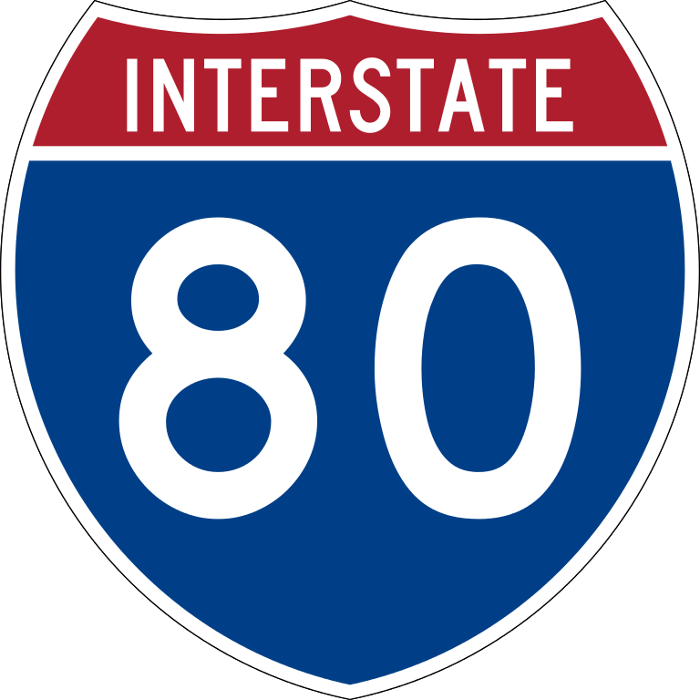
| Description | English: 600 mm by 600 mm (24 in by 24 in) Interstate shield, made to the specifications of the 2004 edition of Standard Highway Signs (sign M1-1). Uses the Roadgeek 2005 fonts. (United States law does not permit the copyrighting of typeface designs, and the fonts are meant to be copies of a U.S. Government-produced work anyway.) Colors are from [1] (Pantone Red 187 and Blue 294), converted to RGB by [2]. The outside border has a width of 1 (1 mm) and a color of black so it shows up; in reality, signs have no outside border. |
| Date | |
| Source | User-made based on a public domain work. |
| Author | User:Ltljltlj |
Licensing
This file is in the public domain because it comes from the Manual on Uniform Traffic Control Devices, sign number M1-1, which states specifically on page I-1 that:
| .svg) |
 | This work includes material that may be protected as a trademark in some jurisdictions. If you want to use it, you have to ensure that you have the legal right to do so and that you do not infringe any trademark rights. See our general disclaimer. This tag does not indicate the copyright status of the attached work. A normal copyright tag is still required. See Commons:Licensing. |
File history
Click on a date/time to view the file as it appeared at that time.
| Date/Time | Thumbnail | Dimensions | User | Comment | |
|---|---|---|---|---|---|
| current | 05:36, 18 May 2007 | | 601 × 601 (15 KB) | Ltljltlj | |
| 19:32, 9 March 2007 |  | 601 × 601 (15 KB) | Lpangelrob | Upload Inkscape version. | |
| 02:13, 5 April 2006 |  | 601 × 601 (13 KB) | SPUI~commonswiki | {{spuiother}} 600 mm by 600 mm (24 in by 24 in) Interstate shield, made to the specifications of the [http://mutcd.fhwa.dot.gov/SHSm/Guide.pdf 2004 edition of Standard Highway Signs] (sign M1-1). Uses the [http://www.triskele.com/fonts/index.html Roadgeek |
File usage
More than 100 pages use this file. The following list shows the first 100 pages that use this file only. A full list is available.
- Adrian (Michigan)
- Albany (California)
- Amana Colonies
- Amherst (Ohio)
- Angola (Indiana)
- Ankeny
- Ashland (Nebraska)
- Atchison
- Atlantic (Iowa)
- Auburn (California)
- Audubon
- Battle Mountain
- Bellefonte
- Benicia
- Berkeley
- Berwick (Pennsylvania)
- Bettendorf
- Bloomsburg
- Bradford (Illinois)
- Brady (Nebraska)
- Brigham City
- Butler
- California
- Cedar Rapids
- Chesterton (Indiana)
- Cheyenne
- Citrus Heights
- Clarion (Pennsylvania)
- Cleveland
- Coldwater
- Council Bluffs
- Cuyahoga Valley National Park
- Danville (Pennsylvania)
- Davenport
- Davis (California)
- Delaware Water Gap National Recreation Area
- Denver
- Denver Area
- Des Moines
- Deuel County
- Dixon (California)
- Dixon (Illinois)
- Dover (New Jersey)
- Dunmore
- East Peoria
- East Stroudsburg
- El Cerrito
- Elkhart
- Elko
- Elyria (Ohio)
- Emeryville
- Englewood (New Jersey)
- Evanston (Wyoming)
- Fairfield (California)
- Fallon
- Fernley
- Fort Lee
- Franklin (Pennsylvania)
- Fremont (Ohio)
- Gary
- Goshen
- Grand Island (Nebraska)
- Green River (Wyoming)
- Grinnell
- Grove City (Pennsylvania)
- Hackensack
- Hammond
- Harvey
- Hazleton
- Hershey (Nebraska)
- Iowa City
- Joliet
- Kalamazoo
- Kearney (Nebraska)
- La Porte
- Lake Station
- Lansing (Illinois)
- Laramie
- Lehighton
- Lewisburg (Pennsylvania)
- Lincoln (Nebraska)
- Lincoln Highway
- Martinez (California)
- Maxwell (Nebraska)
- Milan (Ohio)
- Mishawaka
- Missouri Valley
- Montville (New Jersey)
- Mount Olive
- Netcong
- Nevada City
- Newark
- Newton (Iowa)
- North Highlands
- North Platte
- North Ridgeville
- Northern Illinois
- Oakland
- Ogallala
- Ogden
View more links to this file.
Global file usage
The following other wikis use this file:
- Usage on azb.wikipedia.org
- Usage on az.wikipedia.org
- Usage on ba.wikipedia.org
- Usage on bg.wikipedia.org
- Usage on bn.wikipedia.org
- Usage on bn.wikivoyage.org
- Usage on bs.wikipedia.org
- Usage on ckb.wikipedia.org
- Usage on da.wikipedia.org
- Usage on de.wikipedia.org
- Northumberland County (Pennsylvania)
- Interstate 5
- Interstate 57
- Liste der Interstate Highways
- Interstate 95
- Interstate 55
- Interstate 15
- Interstate 25
- Interstate 94
- U.S. Highway 101
- Interstate 88 (West)
- Interstate 65
- Interstate 75
- Benutzer:Stefan Tollkühn/Übersetzung/Interstate 65
- Interstate 80
- Interstate 90
- Interstate 35
- Salt Lake City International Airport
- Interstate 29
- Interstate 71
- Interstate 79
- Interstate 505 (Kalifornien)
- Interstate 81
- U.S. Highway 151
- Interstate 380 (Iowa)
View more global usage of this file.
Explore the world

United states
New York

Japan
Tokyo

Singapore
Singapore
