
 Français
 Italiano
Size of this PNG preview of this SVG file: 429 × 600 pixels. Other resolutions: 172 × 240 pixels | 343 × 480 pixels | 549 × 768 pixels | 732 × 1,024 pixels | 1,465 × 2,048 pixels | 744 × 1,040 pixels.
Original file (SVG file, nominally 744 × 1,040 pixels, file size: 2.69 MB)
This is a file from the Wikimedia Commons and may be used by other projects. Information from its description page there is shown below. Commons is a freely licensed media file repository. |
Summary
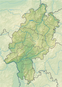
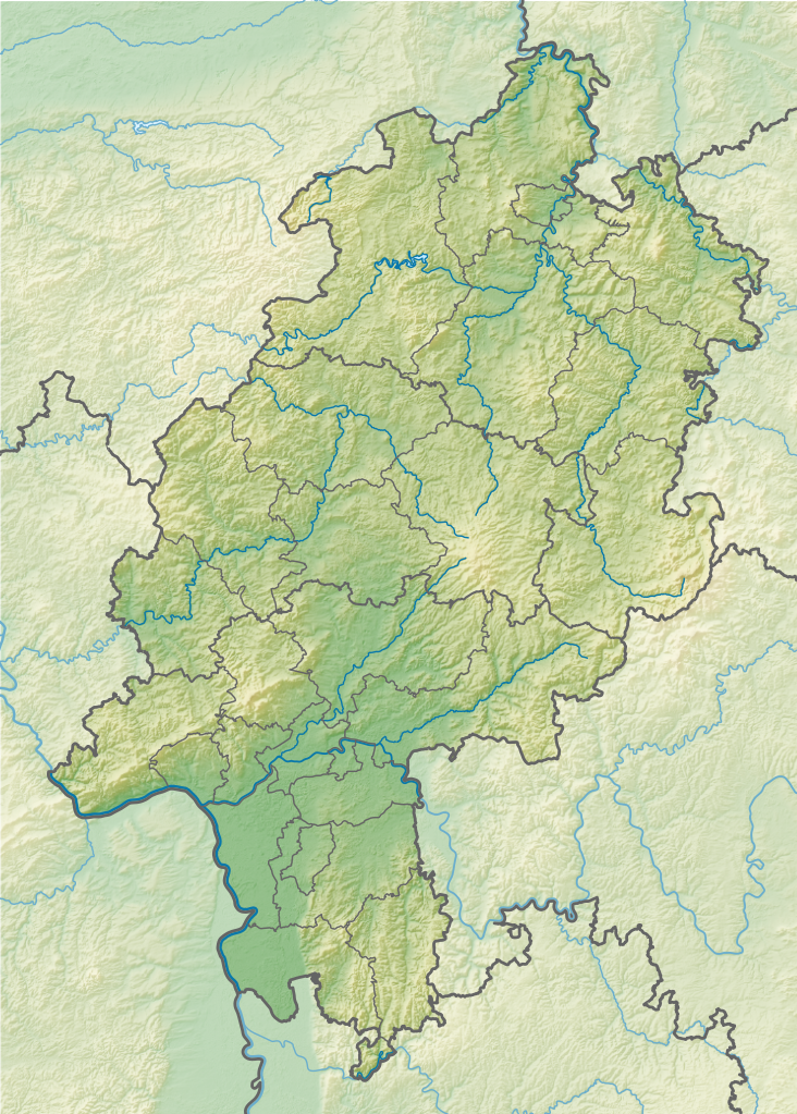
| Description | Geografische Begrenzung der Karte:
Geographic limits of the map:
| ||
| Date | |||
| Source | Own work using:
| ||
| Author | NordNordWest + Lencer | ||
| Other versions |
| ||
| SVG development | This map was created with Adobe Illustrator.
|


Licensing
This file is licensed under the Creative Commons Attribution-Share Alike 3.0 Germany license.
Attribution: Karte/Map: NordNordWest/Lencer, Lizenz/Licence: Creative Commons by-sa-3.0 de
- You are free:
- to share – to copy, distribute and transmit the work
- to remix – to adapt the work
- Under the following conditions:
- attribution – You must give appropriate credit, provide a link to the license, and indicate if changes were made. You may do so in any reasonable manner, but not in any way that suggests the licensor endorses you or your use.
- share alike – If you remix, transform, or build upon the material, you must distribute your contributions under the same or compatible license as the original.

| Annotations | This image is annotated: View the annotations at Commons |
File history
Click on a date/time to view the file as it appeared at that time.
| Date/Time | Thumbnail | Dimensions | User | Comment | |
|---|---|---|---|---|---|
| current | 08:26, 12 November 2013 | | 744 × 1,040 (2.69 MB) | NordNordWest | c |
| 20:43, 11 November 2013 |  | 744 × 1,040 (2.69 MB) | NordNordWest | == {{int:filedesc}} == {{Information |Description= {{de|Positionskarte für Hessen, Deutschland}} Geografische Begrenzung der Karte: * N: 51.756153° N * S: 49.31706° N * W: 7.597045° O * O: 10.3364° O {{en|Locatio... |
File usage
There are no pages that use this file.
Global file usage
The following other wikis use this file:
- Usage on als.wikipedia.org
- Usage on bg.wikipedia.org
- Франкфурт на Майн
- Марбург
- Дармщат
- Висбаден
- Касел
- Ханау
- Вецлар
- Бад Швалбах
- Зелигенщат
- Бирщайн
- Лорш
- Амьонебург
- Бад Вилдунген
- Нидернхаузен
- Гисен
- Идщайн
- Фулда (град)
- Бенсхайм
- Офенбах на Майн
- Шаблон:ПК Германия Хесен
- Херборн
- Епщайн
- Фритцлар
- Нида
- Бюдинген
- Гуденсберг
- Бад Херсфелд
- Ротенбург на Фулда
- Хадамар
- Дридорф
- Диленбург
- Ванфрид
- Ешвеге
- Байлщайн
- Шпангенберг
- Хюнфелд
- Рункел
- Лимбург ан дер Лан
- Вайлбург
- Шаафхайм
- Дибург
- Бабенхаузен (Хесен)
- Бад Кьониг
- Михелщат
- Лих
- Кауфунген
- Бад Хомбург
View more global usage of this file.
Metadata
Explore the world

United states
New York

Japan
Tokyo

Singapore
Singapore
