
 Français
 Italiano
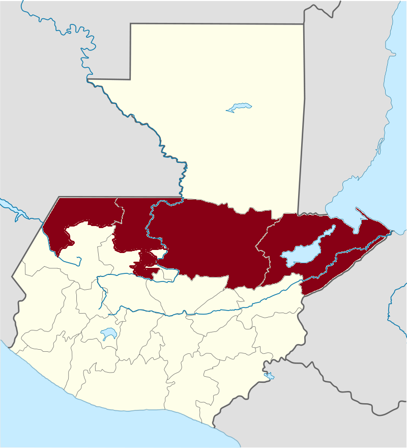
Size of this preview: 545 × 600 pixels. Other resolutions: 218 × 240 pixels | 436 × 480 pixels.
Original file (800 × 880 pixels, file size: 126 KB, MIME type: image/png)
This is a file from the Wikimedia Commons and may be used by other projects. Information from its description page there is shown below. Commons is a freely licensed media file repository. |
Summary
| Description | Español: Franja Transversal del norte en Guatemala, compuesta por el norte del los departamentos de Huehuetenango, Quiché, Alta Verapaz y todo el departamento de Izabal |
| Date | |
| Source | Own work |
| Author | Nerdoguate |
| Other versions |  |
Licensing
I, the copyright holder of this work, hereby publish it under the following license:
This file is licensed under the Creative Commons Attribution-Share Alike 4.0 International license.
- You are free:
- to share – to copy, distribute and transmit the work
- to remix – to adapt the work
- Under the following conditions:
- attribution – You must give appropriate credit, provide a link to the license, and indicate if changes were made. You may do so in any reasonable manner, but not in any way that suggests the licensor endorses you or your use.
- share alike – If you remix, transform, or build upon the material, you must distribute your contributions under the same or compatible license as the original.
File history
Click on a date/time to view the file as it appeared at that time.
| Date/Time | Thumbnail | Dimensions | User | Comment | |
|---|---|---|---|---|---|
| current | 14:15, 20 July 2015 | | 800 × 880 (126 KB) | Nerdoguate | Correct geographic description. |
| 16:51, 14 November 2014 |  | 725 × 797 (108 KB) | Nerdoguate | User created page with UploadWizard |
File usage
There are no pages that use this file.
Global file usage
The following other wikis use this file:
- Usage on ast.wikipedia.org
- Usage on en.wikipedia.org
- History of Guatemala
- Alta Verapaz Department
- Cobán
- Livingston, Guatemala
- Izabal Department
- Quiché Department
- Fernando Romeo Lucas García
- Huehuetenango Department
- Polochic River
- Senahú
- Santa María Cahabón
- Chisec
- Fray Bartolomé de las Casas
- San Agustín Lanquín
- Panzós
- San Pedro Carchá
- Chajul
- Nentón
- San Mateo Ixtatán
- Los Amates
- El Estor
- Guatemalan Civil War
- Portal:Guatemala
- Chahal, Guatemala
- Raxruhá
- Franja Transversal del Norte
- Template:Franja Transversal del Norte (Guatemala)
- Usage on es.wikipedia.org
- Usage on eu.wikipedia.org
- Usage on id.wikipedia.org
- Usage on it.wikipedia.org
Metadata
Explore the world

United states
New York

Japan
Tokyo

Singapore
Singapore
