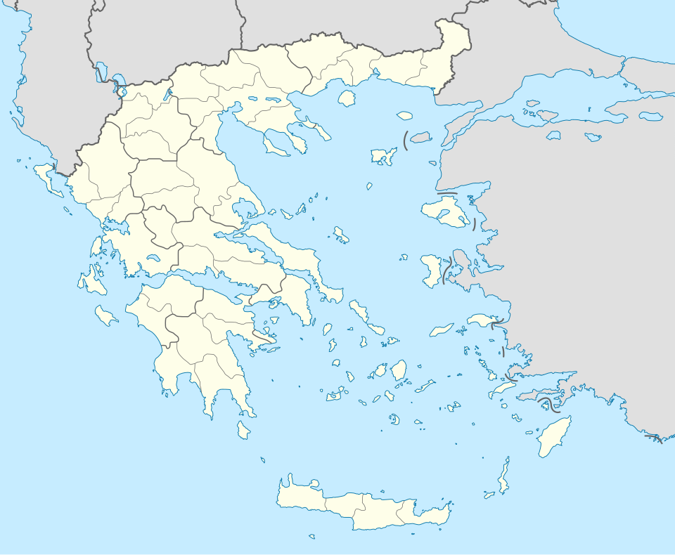
Size of this PNG preview of this SVG file: 729 × 600 pixels. Other resolutions: 292 × 240 pixels | 584 × 480 pixels | 934 × 768 pixels | 1,245 × 1,024 pixels | 2,490 × 2,048 pixels | 1,003 × 825 pixels.
Original file (SVG file, nominally 1,003 × 825 pixels, file size: 833 KB)
File history
Click on a date/time to view the file as it appeared at that time.
| Date/Time | Thumbnail | Dimensions | User | Comment | |
|---|---|---|---|---|---|
| current | 01:13, 10 December 2015 |  | 1,003 × 825 (833 KB) | SilentResident | Reverted to version as of 16:28, 11 September 2008 (UTC) The Prefectures became Regional Administrative Units with the same borders |
| 22:33, 18 December 2010 |  | 1,003 × 825 (673 KB) | Pitichinaccio | Prefecture borders removed. The prefectures of Greece were suppressed in 2010. Präfekturgrenzen entfernt. Die griechischen Präfekturen wurde 2010 abgeschafft. | |
| 16:28, 11 September 2008 |  | 1,003 × 825 (833 KB) | Lencer | {{Information |Description= |Source= |Date= |Author= |Permission= |other_versions= }} | |
| 12:13, 16 August 2008 |  | 1,003 × 825 (818 KB) | Lencer | {{Information |Description= |Source= |Date= |Author= |Permission= |other_versions= }} | |
| 18:26, 23 July 2008 |  | 869 × 715 (823 KB) | Lencer | {{Information |Description= |Source= |Date= |Author= |Permission= |other_versions= }} | |
| 18:11, 23 July 2008 |  | 869 × 715 (823 KB) | Lencer | {{Information |Description= {{de|Positionskarte von Griechenland}} Quadratische Plattkarte, N-S-Streckung 120 %. Geographische Begrenzung der Karte: * N: 42.0° N * S: 34.6° N * W: 19.1° O * O: 29.9° O {{en|Location map of |
File usage
There are no pages that use this file.
Global file usage
The following other wikis use this file:
- Usage on af.wikipedia.org
- Usage on als.wikipedia.org
- Usage on am.wikipedia.org
- Usage on an.wikipedia.org
View more global usage of this file.


 Français
 Italiano


