
 Français
 Italiano
Size of this PNG preview of this SVG file: 712 × 599 pixels. Other resolutions: 285 × 240 pixels | 570 × 480 pixels | 913 × 768 pixels | 1,217 × 1,024 pixels | 2,433 × 2,048 pixels | 1,724 × 1,451 pixels.
Original file (SVG file, nominally 1,724 × 1,451 pixels, file size: 4.21 MB)
This is a file from the Wikimedia Commons and may be used by other projects. Information from its description page there is shown below. Commons is a freely licensed media file repository. |
Summary
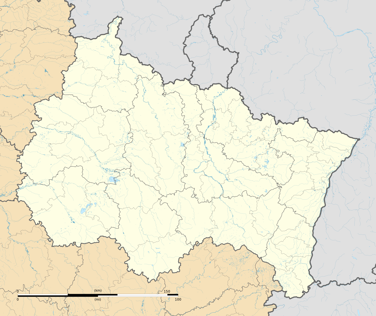
| Description | Français : Carte administrative vierge de la région Grand Est, France, destinée à la géolocalisation. Projection "Géoportail" (projection équirectangulaire à la latitude de référence 46.5° Nord)
|
| Date | |
| Source | Own work
|
| Author | Flappiefh |
| Other versions |
|

Licensing
I, the copyright holder of this work, hereby publish it under the following license:
This file is licensed under the Creative Commons Attribution-Share Alike 4.0 International license.
- You are free:
- to share – to copy, distribute and transmit the work
- to remix – to adapt the work
- Under the following conditions:
- attribution – You must give appropriate credit, provide a link to the license, and indicate if changes were made. You may do so in any reasonable manner, but not in any way that suggests the licensor endorses you or your use.
- share alike – If you remix, transform, or build upon the material, you must distribute your contributions under the same or compatible license as the original.
File history
Click on a date/time to view the file as it appeared at that time.
| Date/Time | Thumbnail | Dimensions | User | Comment | |
|---|---|---|---|---|---|
| current | 12:33, 4 October 2015 | | 1,724 × 1,451 (4.21 MB) | Flappiefh | User created page with UploadWizard |
File usage
There are no pages that use this file.
Global file usage
The following other wikis use this file:
- Usage on als.wikipedia.org
- Usage on bg.wikipedia.org
- Usage on bn.wikipedia.org
- Usage on de.wikipedia.org
- Stade Auguste-Delaune
- Wikipedia:Kartenwerkstatt/Positionskarten/Europa
- Moselviadukt
- Hautmougey
- Harsault
- Stade Marcel-Picot
- Stade Louis-Dugauguez
- Stade de l’Aube
- Stade Paul Gasser
- Militärflugplatz Saint-Dizier-Robinson
- Militärflugplatz Nancy-Ochey
- Militärflugplatz Toul-Rosières
- Militärflugplatz Reims-Champagne
- Flugplatz Athis
- Vorlage:Positionskarte Frankreich Grand Est
- Flughafen Châlons Vatry
- Flugplatz Chaumont-Semoutiers
- Flugplatz Marigny-le-Grand
- Flugplatz Saint-Dié - Remomeix
- Viadukt von Chaumont
- Usage on en.wikipedia.org
View more global usage of this file.
Metadata
Explore the world

United states
New York

Japan
Tokyo

Singapore
Singapore
