
 Français
 Italiano
Size of this PNG preview of this SVG file: 683 × 600 pixels. Other resolutions: 273 × 240 pixels | 547 × 480 pixels | 875 × 768 pixels | 1,167 × 1,024 pixels | 2,333 × 2,048 pixels | 1,719 × 1,509 pixels.
Original file (SVG file, nominally 1,719 × 1,509 pixels, file size: 2.99 MB)
This is a file from the Wikimedia Commons and may be used by other projects. Information from its description page there is shown below. Commons is a freely licensed media file repository. |
Summary
| Camera location | | View this and other nearby images on: OpenStreetMap |
|---|
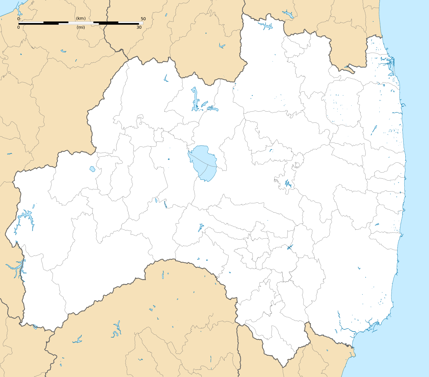
| Description | Deutsch: Karte der Präfektur Fukushima. English: Blank map of the Fukushima Prefecture, for geolocalisation purpose. Español: Mapa de la Prefectura de Fukushima. Italiano: Mappa della Prefettura di Fukushima. 日本語: 福島県の地図. 한국어: 후쿠시마현의 지도이다. Português: Carta de la província de Fukushima.
| ||
| Date | (UTC) | ||
| Source | Création personnelle ;
| ||
| Author | © Bourrichon (talk) - fr:Bourrichon | ||
| Permission (Reusing this file) |
| ||
| Other versions | File:Fukushima-ken géolocalisation relief.svg |
This W3C-unspecified vector image was created with Inkscape .
Licensing
I, the copyright holder of this work, hereby publish it under the following license:
This file is licensed under the Creative Commons Attribution-Share Alike 2.0 France license.
Attribution: Bourrichon (atelier graphique)
- You are free:
- to share – to copy, distribute and transmit the work
- to remix – to adapt the work
- Under the following conditions:
- attribution – You must give appropriate credit, provide a link to the license, and indicate if changes were made. You may do so in any reasonable manner, but not in any way that suggests the licensor endorses you or your use.
- share alike – If you remix, transform, or build upon the material, you must distribute your contributions under the same or compatible license as the original.

| Annotations | This image is annotated: View the annotations at Commons |
File history
Click on a date/time to view the file as it appeared at that time.
| Date/Time | Thumbnail | Dimensions | User | Comment | |
|---|---|---|---|---|---|
| current | 15:19, 10 July 2013 | | 1,719 × 1,509 (2.99 MB) | Bourrichon | == {{int:filedesc}} == {{Location|37|00|00|N|140|00|00|E|scale:10000}} {{Information |Description= {{fr|Carte vierge de la fr:Préfecture de Fukushima, au Japon, destinée à la géolocalisation.}} {{de|Karte der [[:de:Präfektur F... |
File usage
There are no pages that use this file.
Global file usage
The following other wikis use this file:
- Usage on ar.wikipedia.org
- Usage on ceb.wikipedia.org
- Usage on de.wikipedia.org
- Usage on en.wikipedia.org
- Fukushima Station (Fukushima)
- Fukushima Airport
- Shin-Shirakawa Station
- Kōriyama Station (Fukushima)
- Sasakino Station
- Niwasaka Station
- Akaiwa Station
- Iwaki Station (Fukushima)
- Nakoso Station
- Yumoto Station
- Uchigō Station
- Yotsukura Station
- Hisanohama Station
- Suetsugi Station
- Ueda Station (Fukushima)
- Izumi Station (Iwaki)
- Kusano Station (Fukushima)
- Nittaki Station
- Soma Station
- Komagamine Station
- Shinchi Station
- Hirono Station (Fukushima)
- Kido Station
- Tatsuta Station
- Tomioka Station
- Yonomori Station
- Aizu-Wakamatsu Station
- Futaba Station
- Namie Station
- Momouchi Station
- Odaka Station
- Iwaki-Ōta Station
- Haranomachi Station
- Kashima Station (Fukushima)
- Ōno Station (Fukushima)
- Fukushima University
- Shirasaka Station
- Shirakawa Station
- Kutano Station
- Izumizaki Station
- Yabuki Station
- Kagamiishi Station
- Sukagawa Station
View more global usage of this file.
Metadata
Explore the world

United states
New York

Japan
Tokyo

Singapore
Singapore
