
 Français
 Italiano
Size of this PNG preview of this SVG file: 792 × 600 pixels. Other resolutions: 317 × 240 pixels | 634 × 480 pixels | 1,014 × 768 pixels | 1,280 × 970 pixels | 2,560 × 1,939 pixels | 1,056 × 800 pixels.
Original file (SVG file, nominally 1,056 × 800 pixels, file size: 101 KB)
This is a file from the Wikimedia Commons and may be used by other projects. Information from its description page there is shown below. Commons is a freely licensed media file repository. |
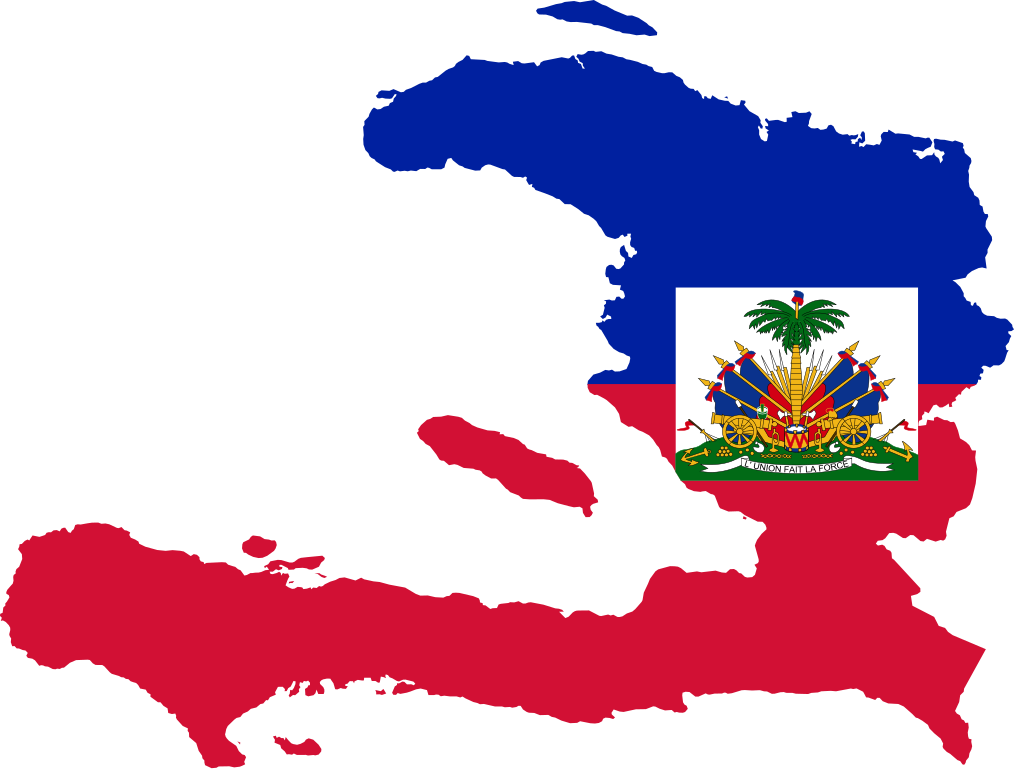
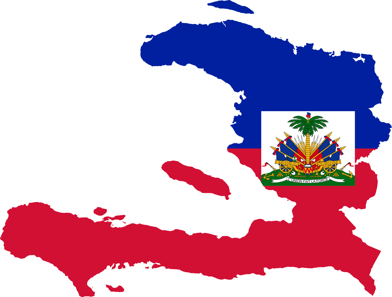
| Description | Flag map of Haiti |
| Date | (UTC) |
| Source | |
| Author |
|
I, the copyright holder of this work, hereby publish it under the following licenses:
This file is licensed under the Creative Commons Attribution-Share Alike 3.0 Unported license.
- You are free:
- to share – to copy, distribute and transmit the work
- to remix – to adapt the work
- Under the following conditions:
- attribution – You must give appropriate credit, provide a link to the license, and indicate if changes were made. You may do so in any reasonable manner, but not in any way that suggests the licensor endorses you or your use.
- share alike – If you remix, transform, or build upon the material, you must distribute your contributions under the same or compatible license as the original.
 | Permission is granted to copy, distribute and/or modify this document under the terms of the GNU Free Documentation License, Version 1.2 or any later version published by the Free Software Foundation; with no Invariant Sections, no Front-Cover Texts, and no Back-Cover Texts. A copy of the license is included in the section entitled GNU Free Documentation License. |
You may select the license of your choice.
Uploaded with derivativeFX
File history
Click on a date/time to view the file as it appeared at that time.
| Date/Time | Thumbnail | Dimensions | User | Comment | |
|---|---|---|---|---|---|
| current | 18:27, 12 April 2016 | | 1,056 × 800 (101 KB) | Stasyan117 | Reduce |
| 17:04, 17 May 2015 |  | 1,056 × 800 (122 KB) | Stasyan117 | Fix | |
| 16:57, 17 May 2015 |  | 600 × 455 (122 KB) | Stasyan117 | Reduce | |
| 20:15, 27 January 2015 |  | 1,056 × 800 (152 KB) | Stasyan117 | Code | |
| 03:40, 21 February 2011 |  | 446 × 323 (179 KB) | Fry1989 | {{Information |Description=Flag map of Haiti |Source=*File:Haiti_locator_map.svg |Date=2011-02-21 03:34 (UTC) |Author=*File:Haiti_locator_map.svg: Jackaranga *derivative work: ~~~ |Permission= |other_versions= }} {{self|Cc |
File usage
There are no pages that use this file.
Global file usage
The following other wikis use this file:
- Usage on ar.wikinews.org
- Usage on da.wikipedia.org
- Usage on el.wikipedia.org
- Usage on en.wikipedia.org
- Centre (department)
- Nord-Est (department)
- Windward Passage
- Chaîne de la Selle
- Pic la Selle
- Marmelade
- Nippes
- Miragoâne
- Montrouis
- Mirebalais
- Pic Macaya National Park
- La Visite National Park
- Gulf of Gonâve
- Delmas, Haiti
- Template:Haiti-geo-stub
- Dessalines Arrondissement
- Dessalines
- Les Cayemites
- Montagnes du Cibao
- Morne Bois-Pin
- Morne du Cibao
- Lake Miragoâne
- Trou Caïman
- Cavaillon (Haiti)
- Gros-Morne Arrondissement
- Grande-Saline, Haiti
- Anse d'Hainault Arrondissement
- Lake Péligre
- Aquin Arrondissement
- Pic Macaya
- Kenscoff
View more global usage of this file.
Metadata
Explore the world

United states
New York

Japan
Tokyo

Singapore
Singapore
