
 Français
 Italiano
Size of this PNG preview of this SVG file: 651 × 600 pixels. Other resolutions: 261 × 240 pixels | 521 × 480 pixels | 834 × 768 pixels | 1,111 × 1,024 pixels | 2,223 × 2,048 pixels | 1,425 × 1,313 pixels.
Original file (SVG file, nominally 1,425 × 1,313 pixels, file size: 1.07 MB)
This is a file from the Wikimedia Commons and may be used by other projects. Information from its description page there is shown below. Commons is a freely licensed media file repository. |
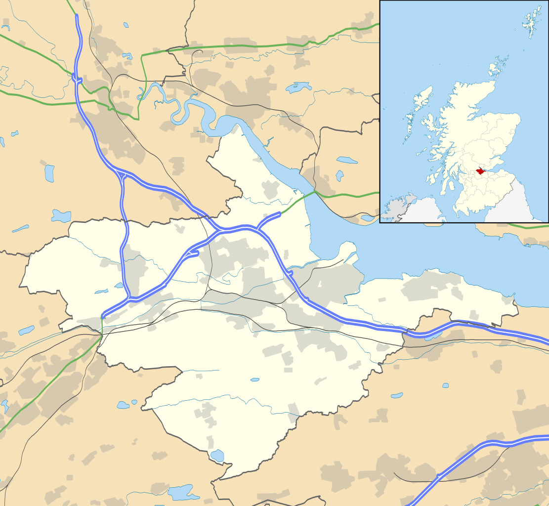
| Description | Blank map of Falkirk, UK with the following information shown:
Equirectangular map projection on WGS 84 datum, with N/S stretched 175% Geographic limits:
|
| Date | |
| Source |
|
| Author | Nilfanion, created using Ordnance Survey data |
| Permission (Reusing this file) | This file is licensed under the Creative Commons Attribution-Share Alike 3.0 Unported license. Attribution: Contains Ordnance Survey data © Crown copyright and database right
|
| Other versions | File:Falkirk UK blank map.svg - Blank map |
File history
Click on a date/time to view the file as it appeared at that time.
| Date/Time | Thumbnail | Dimensions | User | Comment | |
|---|---|---|---|---|---|
| current | 20:14, 26 September 2010 | | 1,425 × 1,313 (1.07 MB) | Nilfanion | {{Information |Description=Blank map of Falkirk, UK with the following information shown: *Administrative borders *Coastline, lakes and rivers *Roads and railways *Urban areas Equirectangular map projection on WGS 84 datum, with N/S stretche |
File usage
There are no pages that use this file.
Global file usage
The following other wikis use this file:
- Usage on ar.wikipedia.org
- Usage on bg.wikipedia.org
- Usage on ceb.wikipedia.org
- Usage on de.wikipedia.org
- Usage on en.wikipedia.org
- Falkirk (council area)
- Falkirk
- Bo'ness
- Grangemouth
- Stenhousemuir
- Polmont
- Airth
- Denny, Falkirk
- Larbert
- Falkirk Stadium
- Avonbridge
- Brockville Park
- Bonnybridge
- Callendar House
- Blackness, Falkirk
- Airth Castle
- Falkirk Steeple
- Firs Park
- Castlecary
- Allandale, Falkirk
- Haggs
- Banknock
- Dunipace
- Longcroft, Falkirk
- Ochilview Park
- Redding, Falkirk
- Brightons
- Westquarter
- Camelon
- Letham, Falkirk
- Standburn
- Reddingmuirhead
- St Andrew's West
- Glensburgh
- Dennyloanhead
- Head of Muir
- Binniehill
- Bainsford
- Braeface
View more global usage of this file.
Explore the world

United states
New York

Japan
Tokyo

Singapore
Singapore
