
 Français
 Italiano
Size of this preview: 401 × 599 pixels. Other resolutions: 160 × 240 pixels | 321 × 480 pixels | 514 × 768 pixels | 685 × 1,024 pixels | 1,371 × 2,048 pixels | 2,592 × 3,872 pixels.
Original file (2,592 × 3,872 pixels, file size: 2.33 MB, MIME type: image/jpeg)
This is a file from the Wikimedia Commons and may be used by other projects. Information from its description page there is shown below. Commons is a freely licensed media file repository. |
Summary
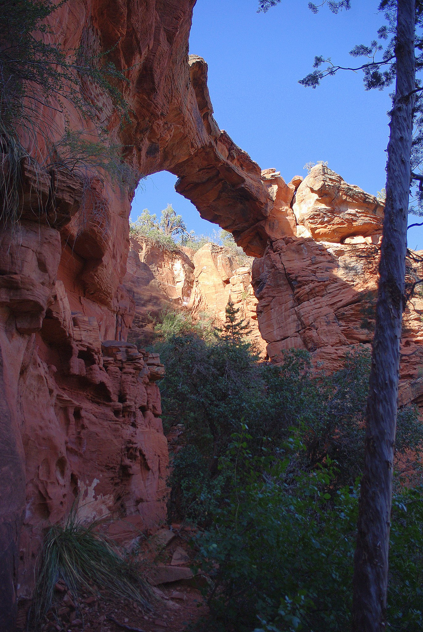
| Description | English: Devil's Arch, Sedona, Arizona |
| Date | |
| Source |
|
| Author | Adam Baker from Houston / Moscow / Toulouse (travel a lot) |
| Other versions | Also see File:Devil's bridge Sedona Arizona.jpg |
| Camera location | | View this and other nearby images on: OpenStreetMap |
|---|
Licensing
This file is licensed under the Creative Commons Attribution 2.0 Generic license.
- You are free:
- to share – to copy, distribute and transmit the work
- to remix – to adapt the work
- Under the following conditions:
- attribution – You must give appropriate credit, provide a link to the license, and indicate if changes were made. You may do so in any reasonable manner, but not in any way that suggests the licensor endorses you or your use.
| This image, originally posted to Flickr, was reviewed on February 18, 2011 by the administrator or reviewer File Upload Bot (Magnus Manske), who confirmed that it was available on Flickr under the stated license on that date. |
File history
Click on a date/time to view the file as it appeared at that time.
| Date/Time | Thumbnail | Dimensions | User | Comment | |
|---|---|---|---|---|---|
| current | 03:14, 18 February 2011 | | 2,592 × 3,872 (2.33 MB) | File Upload Bot (Magnus Manske) | {{Information |Description=Devil's Arch |Source=[http://www.flickr.com/photos/atbaker/3982645847/ Devil's Arch] * Uploaded by PDTillman |Date=2009-09-28 10:22 |Author=[http://www.flickr.com/photos/44124479650@N01 Adam Baker] from Housto |
File usage
The following page uses this file:
Global file usage
The following other wikis use this file:
- Usage on ru.wikipedia.org
- Usage on uk.wikipedia.org
Metadata
Explore the world

United states
New York

Japan
Tokyo

Singapore
Singapore
