
 Français
 Italiano
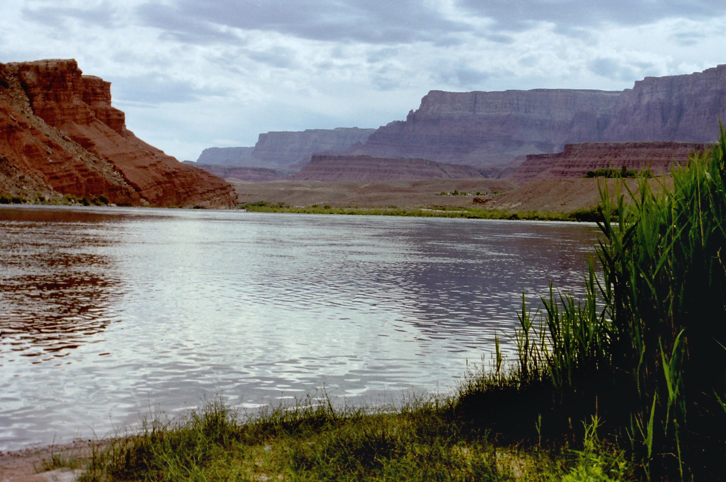
Size of this preview: 800 × 531 pixels. Other resolutions: 320 × 212 pixels | 640 × 425 pixels | 1,024 × 680 pixels | 1,280 × 850 pixels | 2,482 × 1,648 pixels.
Original file (2,482 × 1,648 pixels, file size: 2.37 MB, MIME type: image/jpeg)
This is a file from the Wikimedia Commons and may be used by other projects. Information from its description page there is shown below. Commons is a freely licensed media file repository. |
Summary
| Description | English: Colorado River northeast of Moab in Utah, United States. Deutsch: Der Colorado River nordöstlich von Moab in Utah, Vereinigte Staaten. |
| Date | |
| Source | Own work |
| Author | Nikater |
| Permission (Reusing this file) | Own work, all rights released (Public domain) |
Licensing
| I, the copyright holder of this work, release this work into the public domain. This applies worldwide. In some countries this may not be legally possible; if so: I grant anyone the right to use this work for any purpose, without any conditions, unless such conditions are required by law. |
File history
Click on a date/time to view the file as it appeared at that time.
| Date/Time | Thumbnail | Dimensions | User | Comment | |
|---|---|---|---|---|---|
| current | 08:09, 3 March 2012 | | 2,482 × 1,648 (2.37 MB) | Nikater | == {{int:filedesc}} == {{Information |Description={{en|1=Colorado River northeast of Moab in Utah, United States.}} {{de|1=Der Colorado River nordöstlich von Moab in Utah, Vereinigte Staaten.}} |Source={{... |
File usage
There are no pages that use this file.
Global file usage
The following other wikis use this file:
- Usage on en.wikipedia.org
- Hoover Dam
- Grand Canyon National Park
- Grand Canyon
- Colorado River
- Rocky Mountain National Park
- Sonoran Desert
- Canyonlands National Park
- Glen Canyon Dam
- Lake Mead
- Lake Powell
- Little Colorado River
- Salton Sea
- Imperial Valley
- Floyd Dominy
- Green River (Colorado River tributary)
- Gila River
- San Juan River (Colorado River tributary)
- Gunnison River
- Virgin River
- Yampa River
- Dolores River
- Big Sandy River (Wyoming)
- Roaring Fork River
- Blue River (Colorado)
- Fraser River (Colorado)
- Eagle River (Colorado)
- White River (Green River tributary)
- List of Grand Canyon rapids and features
- Lake Mead National Recreation Area
- Lees Ferry
- Colorado National Monument
- Colorado Plateau
- Template:Colorado River system
- San Rafael River
- Dirty Devil River
- Escalante River
- Paria River
- Colorado River Aqueduct
- Central Arizona Project
- Glen Canyon National Recreation Area
- Flaming Gorge Reservoir
- Imperial Dam
- All-American Canal
- Mohave Valley
- Davis Dam
- Marble Canyon
- Colorado River Compact
- Grand Lake (Colorado)
- Gore Canyon
- Glenwood Canyon
View more global usage of this file.
Metadata
Explore the world

United states
New York

Japan
Tokyo

Singapore
Singapore
