
 Français
 Italiano
Size of this PNG preview of this SVG file: 600 × 600 pixels. Other resolutions: 240 × 240 pixels | 480 × 480 pixels | 768 × 768 pixels | 1,024 × 1,024 pixels | 2,048 × 2,048 pixels | 601 × 601 pixels.
Original file (SVG file, nominally 601 × 601 pixels, file size: 7 KB)
This is a file from the Wikimedia Commons and may be used by other projects. Information from its description page there is shown below. Commons is a freely licensed media file repository. |
Summary
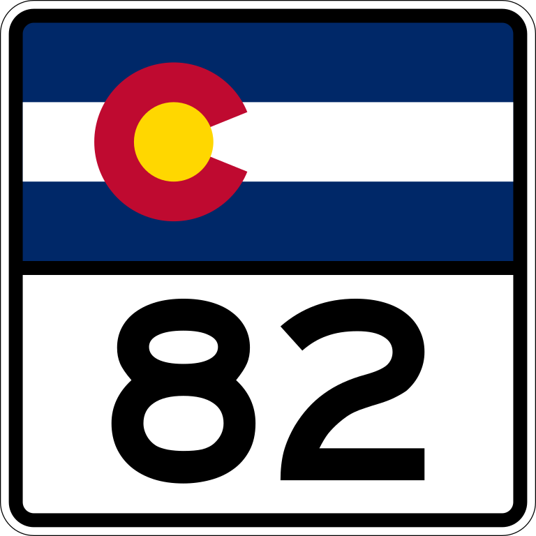
| Description | 600 mm by 600 mm (24 in by 24 in) Colorado shield, made to the specifications of the Manual on Uniform Traffic Control Devices (MUTCD), 2003 Edition (sign M1-5). Uses the Roadgeek 2005 fonts. (United States law does not permit the copyrighting of typeface designs, and the fonts are meant to be copies of a U.S. Government-produced work anyway.) |
| Date | |
| Source | Own work |
| Author | Fredddie, originally by User:Atanamir, User:TwinsMetsFan, or User:Pzoxicuvybtnrm among others |
Licensing
This file is in the public domain because it comes from the Colorado Supplement to the Federal Manual on Uniform Traffic Control Devices, which states that "the Transportation Commission of Colorado adopted the Federal Manual on Uniform Traffic Control Devices 2009, (MUTCD) for use in Colorado." It also states that "the Colorado Supplement has been established to adjust and interpret where necessary for the proper and lawful application of the MUTCD in Colorado in compliance with state statutes, and to address traffic regulatory situations not provided for in the MUTCD." The federal MUTCD states specifically on its page I-1 that:
No provisions of the supplement have adjusted or interpreted this provision of the MUTCD. |
File history
Click on a date/time to view the file as it appeared at that time.
| Date/Time | Thumbnail | Dimensions | User | Comment | |
|---|---|---|---|---|---|
| current | 23:41, 17 March 2012 | | 601 × 601 (7 KB) | Fredddie | |
| 15:07, 17 April 2007 |  | 390 × 394 (7 KB) | Scott5114 | {{PD-self}} 082 |
File usage
The following 3 pages use this file:
Global file usage
The following other wikis use this file:
- Usage on azb.wikipedia.org
- Usage on de.wikipedia.org
- Usage on en.wikipedia.org
- Pitkin County, Colorado
- Lake County, Colorado
- Garfield County, Colorado
- Eagle County, Colorado
- List of state highways in Colorado
- Independence Pass (Colorado)
- Colorado State Highway 82
- Top of the Rockies National Scenic Byway
- U.S. Route 6 in Colorado
- List of highways numbered 82
- Wikipedia:WikiProject U.S. Roads/Redirects/Colorado
- Interstate 70 in Colorado
- Colorado State Highway 133
- Southern Rocky Mountains
- Colorado State Highway 83
- Maroon Creek Bridge
- List of mountain passes in Colorado
- U.S. Route 24 in Colorado
- Colorado State Highway 79
- List of Rocky Mountain passes on the continental divide
- List of passes of the Rocky Mountains
- User:Central Corridor/VelociRFTA
- Template:VelociRFTA
- User:Central Corridor/List of Roaring Fork Transportation Authority bus routes
- User:ChryZ MUC/mountainpasseslist
- Collegiate Peaks Scenic Byway
- West Elk Loop Scenic and Historic Byway
- Usage on es.wikipedia.org
- Usage on et.wikipedia.org
- Usage on fa.wikipedia.org
- Usage on fr.wikipedia.org
- Usage on mr.wikipedia.org
- Usage on nl.wikipedia.org
- Usage on uz.wikipedia.org
- Usage on zh-min-nan.wikipedia.org
- Usage on zh.wikipedia.org
Explore the world

United states
New York

Japan
Tokyo

Singapore
Singapore
