
 Français
 Italiano
Original file (SVG file, nominally 1,162 × 773 pixels, file size: 643 KB)
This is a file from the Wikimedia Commons and may be used by other projects. Information from its description page there is shown below. Commons is a freely licensed media file repository. |
Summary
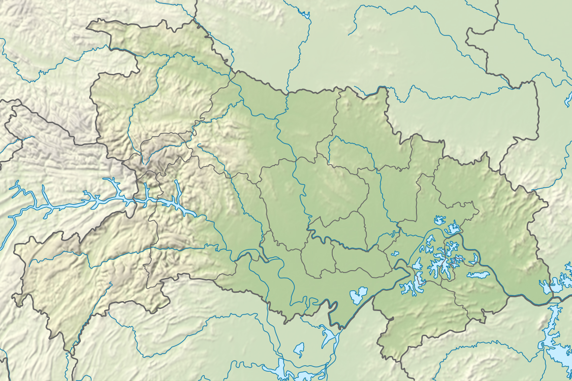
| Description | Deutsch: Positionskarte von Hubei, Volksrepublik China English: Location map of Hubei, People's Republic of China
| ||||||||||||
| Date | |||||||||||||
| Source | Own work using:
| ||||||||||||
| Author | NordNordWest | ||||||||||||
| Other versions | | ||||||||||||

 | This map has been made or improved in the German Kartenwerkstatt (Map Lab). You can propose maps to improve as well. |
Licensing
Usage of this file with:

explanatory notes: Legally binding is only the full legalcode. For a free usage I recommend to respect the following licence conditions:
1. Provide my name as given above: NordNordWest,
2. a copy of, or the URI for, the applicable license: https://creativecommons.org/licenses/by-sa/3.0/de/legalcode,
3. the title of the work,
4. in the case of an adaptation, a credit identifying the use of the work in the adaptation.
This license and the rights granted hereunder will terminate automatically upon any breach by you of the terms of this license. Any of the above conditions can be waived if you get permission from the copyright holder. If you have questions or wish differing conditions, please contact me through nnwest or my discussion page ![]() t-online.de
t-online.de
- You are free:
- to share – to copy, distribute and transmit the work
- to remix – to adapt the work
- Under the following conditions:
- attribution – You must give appropriate credit, provide a link to the license, and indicate if changes were made. You may do so in any reasonable manner, but not in any way that suggests the licensor endorses you or your use.
- share alike – If you remix, transform, or build upon the material, you must distribute your contributions under the same or compatible license as the original.

File history
Click on a date/time to view the file as it appeared at that time.
| Date/Time | Thumbnail | Dimensions | User | Comment | |
|---|---|---|---|---|---|
| current | 20:18, 2 May 2024 | | 1,162 × 773 (643 KB) | NordNordWest | == {{int:filedesc}} == {{Information |Description= {{de|1=Positionskarte von Hubei, Volksrepublik China}} {{en|1=Location map of Hubei, People's Republic of China}} {{Location map series N |stretching=116 |top=33.5 |bottom=28.8 |left=108.2 |right=116.4 }} |Source={{Own using}} * United States National Imagery and Mapping Agency data * World Data Base II data * ETOPO1 data |Date=2024-05-02 |Author={{U|NordNordWest}} |Permission= |other_versions=<gallery>China Hubei adm location map.svg</galler... |
File usage
There are no pages that use this file.
Global file usage
The following other wikis use this file:
- Usage on de.wikipedia.org
- Usage on en.wikipedia.org
- Three Gorges Dam
- Three Gorges
- Battle of Xiaoting
- Jingzhou
- Panlongcheng
- Battle of West Hubei
- Three Gorges Reservoir Region
- Shennong Stream
- Lü Meng's invasion of Jing Province
- Shayang County
- Hong Lake
- East Lake (Wuhan)
- Danjiangkou Reservoir
- Module:Location map/data/China Hubei/doc
- Longgan Lake
- Liangzi Lake
- South Lake (Wuhan)
- Yanjiahe Formation
- Tangxun Lake
- Module:Location map/data/China Hubei
- Module:Location map/data/Hubei
- Mount Mo
- Chang Lake (Hubei)
- Jingzhou Confucius Temple
- Usage on es.wikipedia.org
- Usage on fr.wikipedia.org
- Usage on he.wikipedia.org
View more global usage of this file.
Metadata
Explore the world

United states
New York

Japan
Tokyo

Singapore
Singapore
