
 Français
 Italiano
Size of this PNG preview of this SVG file: 717 × 600 pixels. Other resolutions: 287 × 240 pixels | 574 × 480 pixels | 918 × 768 pixels | 1,224 × 1,024 pixels | 2,448 × 2,048 pixels | 1,425 × 1,192 pixels.
Original file (SVG file, nominally 1,425 × 1,192 pixels, file size: 799 KB)
This is a file from the Wikimedia Commons and may be used by other projects. Information from its description page there is shown below. Commons is a freely licensed media file repository. |
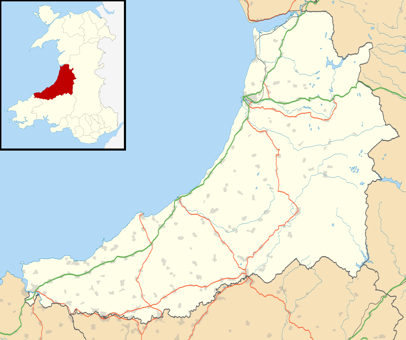
| Description | Blank map of Ceredigion, UK with the following information shown:
Equirectangular map projection on WGS 84 datum, with N/S stretched 160% Geographic limits:
|
| Date | |
| Source |
|
| Author | Nilfanion, created using Ordnance Survey data |
| Permission (Reusing this file) | This file is licensed under the Creative Commons Attribution-Share Alike 3.0 Unported license. Attribution: Contains Ordnance Survey data © Crown copyright and database right
|
| Other versions | File:Ceredigion UK map.svg - Blank map |
File history
Click on a date/time to view the file as it appeared at that time.
| Date/Time | Thumbnail | Dimensions | User | Comment | |
|---|---|---|---|---|---|
| current | 19:31, 26 September 2010 | | 1,425 × 1,192 (799 KB) | Nilfanion | {{Information |Description=Blank map of Ceredigion, UK with the following information shown: *Administrative borders *Coastline, lakes and rivers *Roads and railways *Urban areas Equirectangular map projection on WGS 84 datum, with N/S s |
File usage
There are no pages that use this file.
Global file usage
The following other wikis use this file:
- Usage on ar.wikipedia.org
- Usage on azb.wikipedia.org
- Usage on ceb.wikipedia.org
- Usage on cy.wikipedia.org
- Usage on da.wikipedia.org
- Usage on en.wikipedia.org
- List of monastic houses in Wales
- Ceredigion
- Borth
- Aberaeron
- Cardigan, Ceredigion
- Lampeter
- New Quay
- Tregaron
- Pontrhydfendigaid
- Devil's Bridge, Ceredigion
- Llangrannog
- Llangeitho
- Llanddewi Brefi
- Aberporth
- Mwnt
- Llangoedmor
- Penbryn
- Llandysul
- Llechryd
- Llanarth, Ceredigion
- Beulah, Ceredigion
- Talgarreg
- Penparcau
- Y Ferwig
- Penrhyn-coch
- Cribyn
- Llandygwydd
- Penuwch
- Llanilar
- Gorsgoch
- Betws Ifan
- List of Sites of Special Scientific Interest in Ceredigion
- Ynyslas
- Ystrad Meurig
- Comins Coch
- Llanbadarn Fawr, Ceredigion
- Tregaron Hospital
- Cardigan and District Community Hospital
- Rhydowen
- Llanfair Clydogau
- Gwbert
- Aberystwyth Arts Centre
- Soar y mynydd
- Tal-y-bont, Ceredigion
View more global usage of this file.
Metadata
Explore the world

United states
New York

Japan
Tokyo

Singapore
Singapore
