
 Français
 Italiano
Size of this PNG preview of this SVG file: 709 × 600 pixels. Other resolutions: 284 × 240 pixels | 568 × 480 pixels | 908 × 768 pixels | 1,211 × 1,024 pixels | 2,422 × 2,048 pixels | 1,114 × 942 pixels.
Original file (SVG file, nominally 1,114 × 942 pixels, file size: 365 KB)
This is a file from the Wikimedia Commons and may be used by other projects. Information from its description page there is shown below. Commons is a freely licensed media file repository. |
Summary
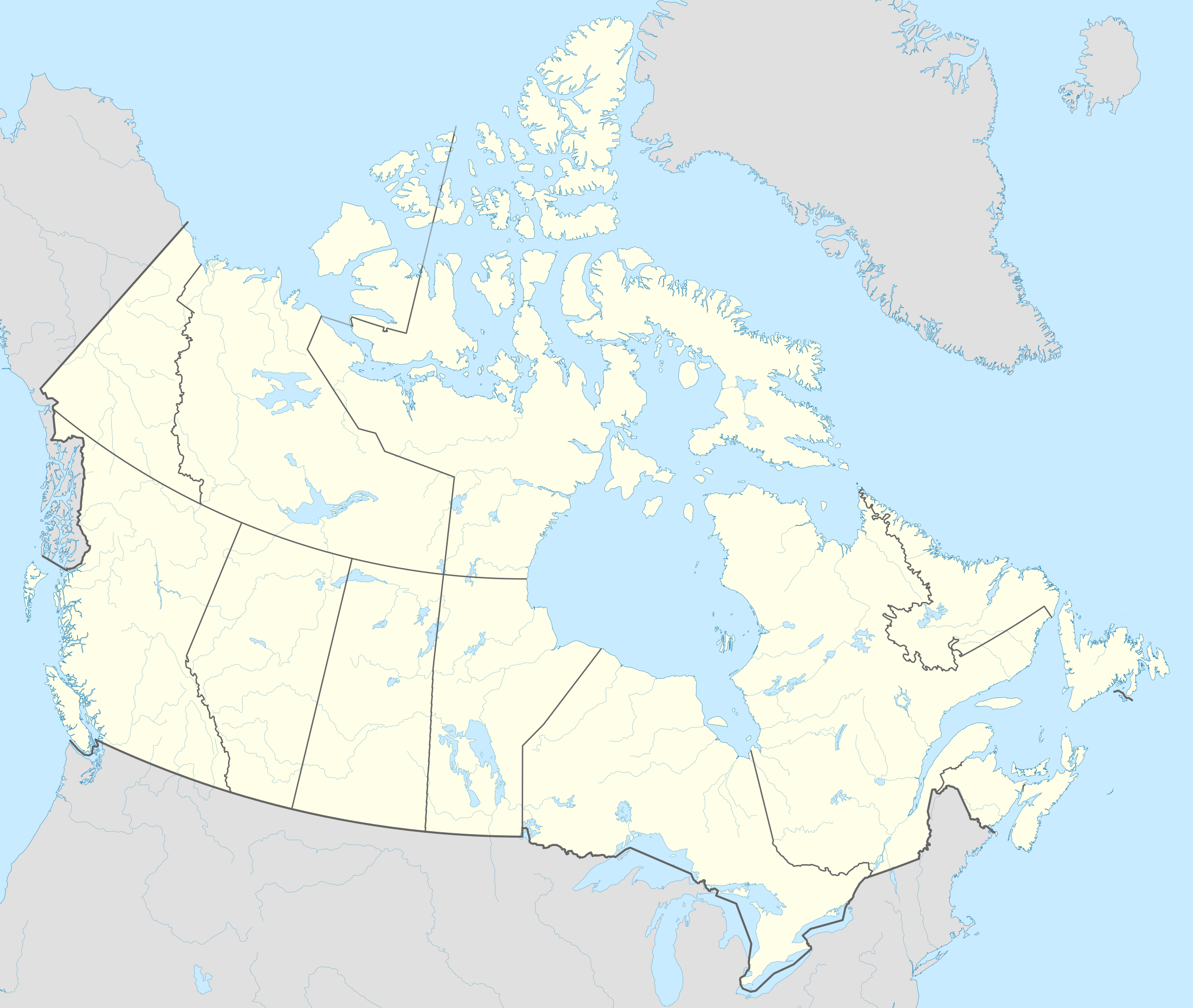
| Description | English: Location map of Canada with all five Great Lakes shown in full. |
| Date | |
| Source | Own work |
| Author | MapGrid |
| Other versions |
|
| SVG development |


Map Info
| Projection: | Lambert conformal conic |
|---|---|
| Datum: | WGS84 |
| Central Meridian: | 95.000000°W |
| Latitude of Origin: | 60.000000°N |
| Standard Parallel #1: | 49.000000°N |
| Standard Parallel #2: | 77.000000°N |
| x (%)= | 201.7818903*(((tan(pi*(90-$1)/360))*(((1+0.08181919084*sin(pi*$1/180))/(1-0.08181919084*sin(pi*$1/180)))^0.04090959542))^0.9007900864)*sin(0.01572175288*($2+95))+43.98563734 |
|---|---|
| y (%)= | 238.6252927*(((tan(pi*(90-$1)/360))*(((1+0.08181919084*sin(pi*$1/180))/(1-0.08181919084*sin(pi*$1/180)))^0.04090959542))^0.9007900864)*cos(0.01572175288*($2+95))-15.81495465 |
| $1: | latitude in degrees (positive for all locations in Canada). |
| $2: | longitude in degrees (negative for all locations in Canada). |
| x (%): | x coordinate expressed as percentage of image width (measured from left edge). |
| y (%): | y coordinate expressed as percentage of image height (measured from top edge). |
| x (px) | y (px) | x (%) | y (%) | Latitude | Longitude | |
|---|---|---|---|---|---|---|
| Top Left Corner: | 0.000 | 0.000 | 0.00 | 0.00 | 68.220310°N | 176.138684°W |
| Top Right Corner: | 1114.000 | 0.000 | 100.00 | 0.00 | 62.238635°N | 9.994317°W |
| Bottom Right Corner: | 1114.000 | 942.000 | 100.00 | 100.00 | 34.831244°N | 61.953430°W |
| Bottom Left Corner: | 0.000 | 942.000 | 0.00 | 100.00 | 37.392537°N | 121.850536°W |
| Centre: | 557.000 | 471.000 | 50.00 | 50.00 | 63.068962°N | 88.152750°W |
| Origin: | 490.000 | 541.000 | 43.99 | 57.43 | 60.000000°N | 95.000000°W |
| North Pole: | 490.000 | -148.977 | 43.99 | -15.81 | 90.000000°N | ⸻ |
| Thechàl Dhâl: | 67.523 | 368.241 | 6.06 | 39.09 | 61.022873°N | 138.564925°W |
Licensing
I, the copyright holder of this work, hereby publish it under the following license:
This file is licensed under the Creative Commons Attribution-Share Alike 4.0 International license.
- You are free:
- to share – to copy, distribute and transmit the work
- to remix – to adapt the work
- Under the following conditions:
- attribution – You must give appropriate credit, provide a link to the license, and indicate if changes were made. You may do so in any reasonable manner, but not in any way that suggests the licensor endorses you or your use.
- share alike – If you remix, transform, or build upon the material, you must distribute your contributions under the same or compatible license as the original.
File history
Click on a date/time to view the file as it appeared at that time.
| Date/Time | Thumbnail | Dimensions | User | Comment | |
|---|---|---|---|---|---|
| current | 17:42, 29 December 2020 | | 1,114 × 942 (365 KB) | MapGrid | added an international boundary line between Canada and St Pierre & Miquelon |
| 18:53, 25 December 2020 |  | 1,114 × 942 (365 KB) | MapGrid | Christmas Day edition... a few more rivers and other minor tweaks. | |
| 17:51, 15 November 2020 |  | 1,114 × 942 (360 KB) | MapGrid | Uploaded own work with UploadWizard |
File usage
There are no pages that use this file.
Global file usage
The following other wikis use this file:
- Usage on af.wikipedia.org
- Usage on azb.wikipedia.org
- Usage on ban.wikipedia.org
- Usage on ca.wikipedia.org
- Usage on cbk-zam.wikipedia.org
- Usage on cs.wikipedia.org
View more global usage of this file.
Metadata
Explore the world

United states
New York

Japan
Tokyo

Singapore
Singapore
