
 Français
 Italiano
Size of this PNG preview of this SVG file: 492 × 599 pixels. Other resolutions: 197 × 240 pixels | 394 × 480 pixels | 630 × 768 pixels | 840 × 1,024 pixels | 1,681 × 2,048 pixels | 2,316 × 2,822 pixels.
Original file (SVG file, nominally 2,316 × 2,822 pixels, file size: 2.56 MB)
This is a file from the Wikimedia Commons and may be used by other projects. Information from its description page there is shown below. Commons is a freely licensed media file repository. |
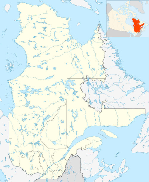
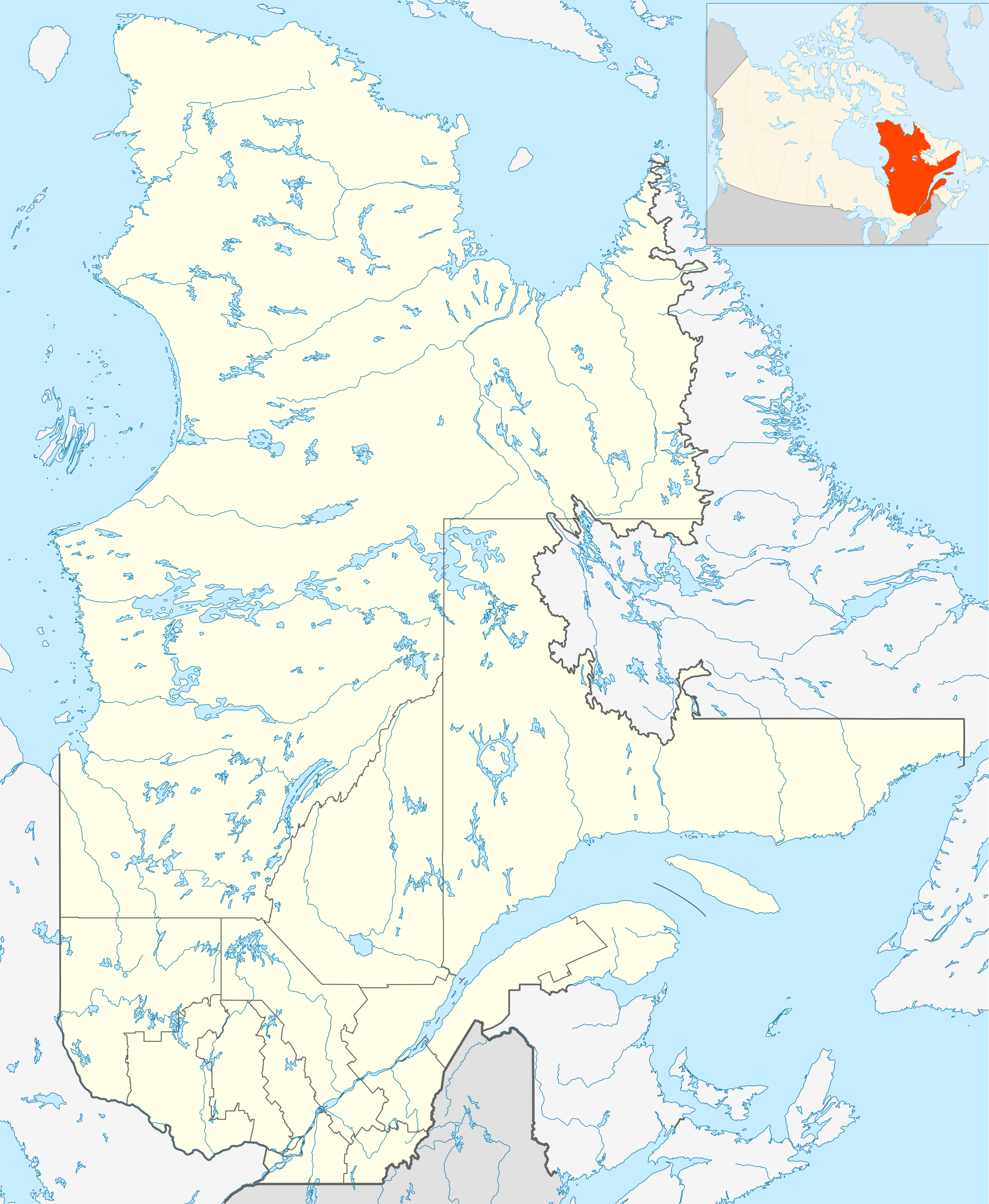
| Description | English: Québec Province within Canada. Español: Provincia de Quebec en Canadá. |
| Date | |
| Source | Based on Image:Canada_Quebec_location_map.svg |
| Author | Hanhil (talk) 18:30, 24 September 2009 (UTC) based on EOZyo |
| I, the copyright holder of this work, release this work into the public domain. This applies worldwide. In some countries this may not be legally possible; if so: I grant anyone the right to use this work for any purpose, without any conditions, unless such conditions are required by law. |
File history
Click on a date/time to view the file as it appeared at that time.
| Date/Time | Thumbnail | Dimensions | User | Comment | |
|---|---|---|---|---|---|
| current | 18:30, 24 September 2009 | | 2,316 × 2,822 (2.56 MB) | Hanhil | {{Information |Description={{en|1=Québec Province within Canada.}} {{es|1=Provincia de Quebec en Canadá.}} |Source=Based on Image:Canada_Quebec_location_map.svg |Author=~~~~ based on EOZyo |Date=2009-09-24 |Permission= |other_version |
File usage
There are no pages that use this file.
Global file usage
The following other wikis use this file:
- Usage on af.wikipedia.org
- Montebello
- Baie-Comeau
- Charlesbourg
- Gatineau
- Laval, Quebec
- Trois-Rivières
- Saint-Hyacinthe
- Gaspé
- Thetford Mines
- Hull, Quebec
- Oka
- Sorel
- Tadoussac
- Saguenay
- Sainte-Anne-de-Beaupré
- Sherbrooke
- Longueuil
- Valcourt, Quebec
- Rouyn-Noranda
- Montreal-Wes
- Alma
- Sayabec
- Amqui
- Val-Brillant
- Rimouski
- Morin-Heights
- Granby, Quebec
- Sainte-Catherine, Quebec
- Westmount, Quebec
- Usage on ar.wikipedia.org
- Usage on ast.wikipedia.org
- Usage on azb.wikipedia.org
- Usage on ban.wikipedia.org
- Usage on be-tarask.wikipedia.org
- Usage on bg.wikipedia.org
- Usage on bn.wikipedia.org
- Usage on ca.wikipedia.org
- Usage on ceb.wikipedia.org
- Usage on da.wikipedia.org
- Usage on en.wikipedia.org
View more global usage of this file.
Metadata
Explore the world

United states
New York

Japan
Tokyo

Singapore
Singapore
