
 Français
 Italiano
Size of this PNG preview of this SVG file: 481 × 599 pixels. Other resolutions: 193 × 240 pixels | 385 × 480 pixels | 616 × 768 pixels | 822 × 1,024 pixels | 1,643 × 2,048 pixels | 512 × 638 pixels.
Original file (SVG file, nominally 512 × 638 pixels, file size: 1,021 KB)
This is a file from the Wikimedia Commons and may be used by other projects. Information from its description page there is shown below. Commons is a freely licensed media file repository. |
Summary
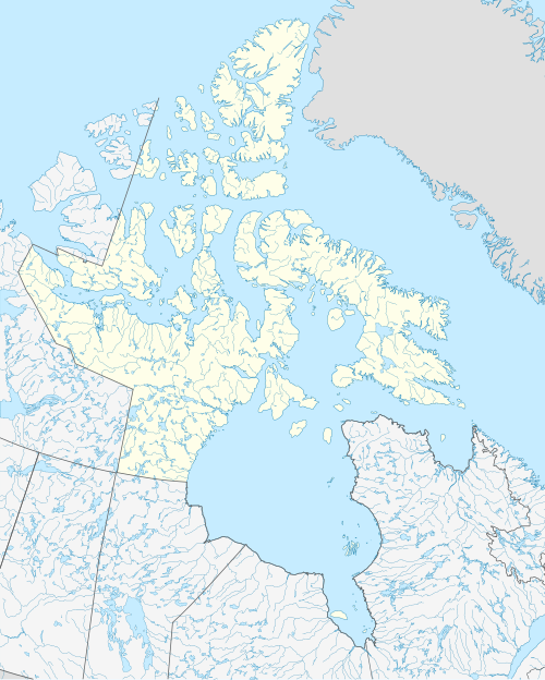
| Description | Français : Carte administrative vierge du territoire du Nunavut, Canada, destinée à la géolocalisation. Lambert conformal conic projection. |
| Date | |
| Source | This file was derived from: Canada Nunavut location map-lambert proj.svg |
| Author |
|
Licensing
This file is licensed under the Creative Commons Attribution-Share Alike 4.0 International license.
- You are free:
- to share – to copy, distribute and transmit the work
- to remix – to adapt the work
- Under the following conditions:
- attribution – You must give appropriate credit, provide a link to the license, and indicate if changes were made. You may do so in any reasonable manner, but not in any way that suggests the licensor endorses you or your use.
- share alike – If you remix, transform, or build upon the material, you must distribute your contributions under the same or compatible license as the original.
File history
Click on a date/time to view the file as it appeared at that time.
| Date/Time | Thumbnail | Dimensions | User | Comment | |
|---|---|---|---|---|---|
| current | 06:55, 4 July 2019 | | 512 × 638 (1,021 KB) | Allice Hunter | User created page with UploadWizard |
File usage
There are no pages that use this file.
Global file usage
The following other wikis use this file:
- Usage on ban.wikipedia.org
- Usage on en.wikipedia.org
- Iqaluit
- Back River (Nunavut)
- Ellesmere Island
- Baffin Island
- Belcher Islands
- Frobisher Bay
- List of communities in Nunavut
- Grise Fiord
- Igloolik
- Pond Inlet
- Ukkusiksalik National Park
- Hans Island
- Quttinirpaaq National Park
- Edmund Peck
- Rankin Inlet
- Pangnirtung
- Alert, Nunavut
- Isachsen
- Akimiski Island
- Sanikiluaq
- Mansel Island
- Prince Charles Island
- Melville Island (Northwest Territories and Nunavut)
- Barbeau Peak
- United States Range
- Eureka, Nunavut
- Somerset Island (Nunavut)
- Arctic Bay
- Sanirajak
- Cornwallis Island (Nunavut)
- Axel Heiberg Island
- Southampton Island
- Prince of Wales Island (Nunavut)
- Bathurst Island (Nunavut)
- King William Island
- Ellef Ringnes Island
- Sverdrup Islands
- Amund Ringnes Island
- Bylot Island
- Mackenzie King Island
- Arviat
- British Empire Range
- Mount Whisler
- Cambridge Bay
- Resolute, Nunavut
- Coats Island
- Resolute Bay
- Borden Island
- CFS Alert
View more global usage of this file.
Metadata
Explore the world

United states
New York

Japan
Tokyo

Singapore
Singapore
