
 Français
 Italiano
Size of this PNG preview of this SVG file: 664 × 600 pixels. Other resolutions: 266 × 240 pixels | 531 × 480 pixels | 850 × 768 pixels | 1,133 × 1,024 pixels | 2,267 × 2,048 pixels | 1,347 × 1,217 pixels.
Original file (SVG file, nominally 1,347 × 1,217 pixels, file size: 737 KB)
This is a file from the Wikimedia Commons and may be used by other projects. Information from its description page there is shown below. Commons is a freely licensed media file repository. |
| Description | Deutsch: Positionskarte von Kambodscha Quadratische Plattkarte, N-S-Streckung 105 %. Geographische Begrenzung der Karte: * N: 14.8° N * S: 9.9° N * W: 102.2° O * O: 107.9° O Equirectangular projection, N/S stretching 105 %. Geographic limits of the map: * N: 14.8° N * S: 9.9° N * W: 102.2° E * E: 107.9° E |
| Date | (UTC) |
| Source | Own work based on: Cambodia location map.svg by NordNordWest |
| Author | Kmusser |
| SVG development | This W3C-invalid locator map was created with Adobe Illustrator, and with Inkscape. |
| This is a retouched picture, which means that it has been digitally altered from its original version. Modifications: highlighted Siem Reap Province. The original can be viewed here: Cambodia location map.svg:
|
I, the copyright holder of this work, hereby publish it under the following licenses:
This file is licensed under the Creative Commons Attribution-Share Alike 3.0 Unported license.
- You are free:
- to share – to copy, distribute and transmit the work
- to remix – to adapt the work
- Under the following conditions:
- attribution – You must give appropriate credit, provide a link to the license, and indicate if changes were made. You may do so in any reasonable manner, but not in any way that suggests the licensor endorses you or your use.
- share alike – If you remix, transform, or build upon the material, you must distribute your contributions under the same or compatible license as the original.
 | Permission is granted to copy, distribute and/or modify this document under the terms of the GNU Free Documentation License, Version 1.2 or any later version published by the Free Software Foundation; with no Invariant Sections, no Front-Cover Texts, and no Back-Cover Texts. A copy of the license is included in the section entitled GNU Free Documentation License. |
You may select the license of your choice.
Original upload log
This image is a derivative work of the following images:
- File:Cambodia_location_map.svg licensed with Cc-by-sa-3.0, GFDL
- 2009-02-12T21:35:03Z NordNordWest 1347x1217 (728478 Bytes) smaller file
- 2009-02-12T20:56:36Z NordNordWest 1347x1216 (1074945 Bytes) {{Information |Description= {{de|Positionskarte von [[:de:Kambodscha|Kambodscha]]}} Quadratische Plattkarte, N-S-Streckung 105 %. Geographische Begrenzung der Karte: * N: 14.8° N * S: 9.9° N * W: 102.2° O * O: 107.9° O {{
File history
Click on a date/time to view the file as it appeared at that time.
| Date/Time | Thumbnail | Dimensions | User | Comment | |
|---|---|---|---|---|---|
| current | 15:30, 8 June 2010 | | 1,347 × 1,217 (737 KB) | Kmusser | {{Information |Description={{de|Positionskarte von Kambodscha}} Quadratische Plattkarte, N-S-Streckung 105 %. Geographische Begrenzung der Karte: * N: 14.8° N * S: 9.9° N * W: 102.2° O * O: 107.9° O {{en|Location map of [[:en:Cambod |
File usage
There are no pages that use this file.
Global file usage
The following other wikis use this file:
- Usage on ceb.wikipedia.org
- Usage on de.wikipedia.org
- Usage on en.wikipedia.org
- Angkor Wat
- Angkor Thom
- Bayon
- Ta Prohm
- Ta Keo
- Baphuon
- Terrace of the Elephants
- Preah Ko
- Bakong
- Prasat Kravan
- Banteay Kdei
- Thommanon
- Prasat Baksei Chamkrong
- Phimeanakas
- Neak Pean
- Preah Khan
- Ta Som
- Phnom Bakheng
- Phnom Krom
- Banteay Srei
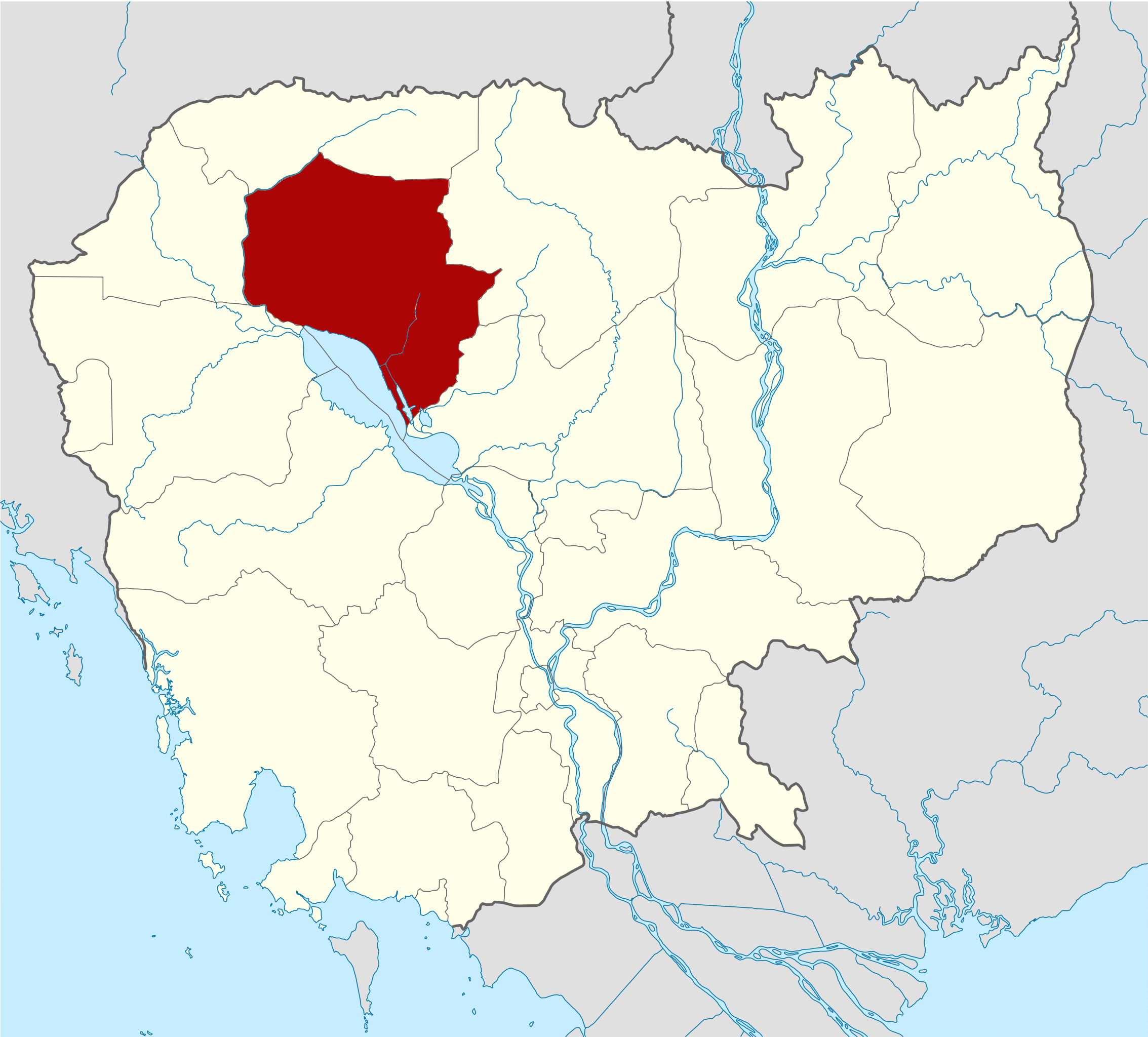
- Siem Reap province
- Kbal Spean
- Pre Rup
- Lolei
- East Baray
- East Mebon
- Banteay Samré
- Terrace of the Leper King
- West Baray
- West Mebon
- Siem Reap
- Ta Nei
- Template:Siem Reap province
- Angkor Chum District
- Angkor Thom district
- Banteay Srei district
- Chi Kraeng District
- Kralanh District
- Prasat Bakong District
- Siem Reap municipality
- Soutr Nikom District
- Svay Leu District
- Srei Snam District
- Varin district
- Siem Reap River
- Ak Yum
- Puok District
View more global usage of this file.
Explore the world

United states
New York

Japan
Tokyo

Singapore
Singapore
