
 Français
 Italiano
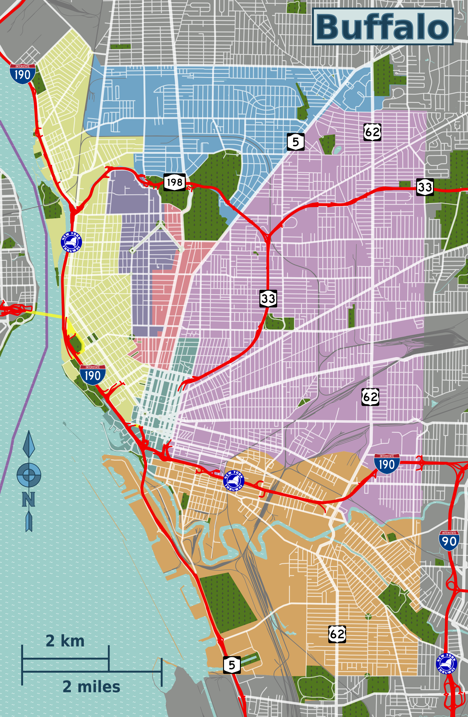
Size of this preview: 391 × 599 pixels. Other resolutions: 156 × 240 pixels | 313 × 480 pixels | 501 × 768 pixels | 668 × 1,024 pixels | 1,500 × 2,299 pixels.
Original file (1,500 × 2,299 pixels, file size: 1.8 MB, MIME type: image/png)
This is a file from the Wikimedia Commons and may be used by other projects. Information from its description page there is shown below. Commons is a freely licensed media file repository. |
Summary
| Description | English: Buffalo districts map. |
| Date | |
| Source | File:Buffalo districts map.svg |
| Author | Peter Fitzgerald, OpenStreetMap [1] |
Licensing
This file is licensed under the Creative Commons Attribution-Share Alike 2.0 Generic license.
- You are free:
- to share – to copy, distribute and transmit the work
- to remix – to adapt the work
- Under the following conditions:
- attribution – You must give appropriate credit, provide a link to the license, and indicate if changes were made. You may do so in any reasonable manner, but not in any way that suggests the licensor endorses you or your use.
- share alike – If you remix, transform, or build upon the material, you must distribute your contributions under the same or compatible license as the original.
| This work contains information from OpenStreetMap, which is made available under the Open Database License (ODbL). The ODbL does not require any particular license for maps produced from ODbL data. Prior to 1 August 2020, map tiles produced by the OpenStreetMap Foundation were licensed under the CC-BY-SA-2.0 license. Maps produced by other people may be subject to other licences. |
Original upload log
| This file was imported from Wikivoyage WTS. |
The original description page was here. All following user names refer to wts.wikivoyage-old.
- 2012-11-02 01:35 Peterfitzgerald archive copy at the Wayback Machine 2200×2207 (693060 bytes) {{Imagecredit|credit=Peter Fitzgerald, OpenStreetMap [http://openstreetmap.org]|captureDate=1 November 2012|location=Buffalo|source=[[:File:Buffalo districts map.svg]]|caption=Buffalo districts map|description=draft for now}}{{Map|Buffalo}}
- 2012-11-02 01:36 Peterfitzgerald archive copy at the Wayback Machine 1610×2468 (1244880 bytes)
- 2012-11-02 01:40 Peterfitzgerald archive copy at the Wayback Machine 1610×2468 (1205351 bytes)
- 2012-11-02 21:39 AndreCarrotflower[dead link] 1610×2468 (1194058 bytes)
File history
Click on a date/time to view the file as it appeared at that time.
| Date/Time | Thumbnail | Dimensions | User | Comment | |
|---|---|---|---|---|---|
| current | 15:12, 14 July 2014 | | 1,500 × 2,299 (1.8 MB) | LtPowers | Add marker for US 62, change short length of Scajaquada to red to match rest of highway, add international border, add Thruway markers, fix highway markers for correctness |
| 00:03, 27 November 2012 |  | 1,500 × 2,299 (1.77 MB) | Peterfitzgerald | finished draft | |
| 06:31, 22 November 2012 |  | 1,610 × 2,468 (1.14 MB) | OgreBot | (BOT): Reverting to most recent version before archival | |
| 06:31, 22 November 2012 |  | 1,610 × 2,468 (1.15 MB) | OgreBot | (BOT): Uploading old version of file from wts.wikivoyage; originally uploaded on 2012-11-02 01:40:51 by Peterfitzgerald | |
| 06:31, 22 November 2012 |  | 1,610 × 2,468 (1.19 MB) | OgreBot | (BOT): Uploading old version of file from wts.wikivoyage; originally uploaded on 2012-11-02 01:36:28 by Peterfitzgerald | |
| 06:31, 22 November 2012 |  | 2,200 × 2,207 (677 KB) | OgreBot | (BOT): Uploading old version of file from wts.wikivoyage; originally uploaded on 2012-11-02 01:35:01 by Peterfitzgerald | |
| 22:59, 17 November 2012 |  | 1,610 × 2,468 (1.14 MB) | MGA73bot2 | {{BotMoveToCommons|wts.oldwikivoyage|year={{subst:CURRENTYEAR}}|month={{subst:CURRENTMONTHNAME}}|day={{subst:CURRENTDAY}}}} == {{int:filedesc}} == {{Information |description=Buffalo districts map. draft for now, Buffalo * Map of: Buffalo¤ |date=1 Nove... |
File usage
The following page uses this file:
Global file usage
The following other wikis use this file:
Metadata
Explore the world

United states
New York

Japan
Tokyo

Singapore
Singapore
