
 Français
 Italiano
Size of this PNG preview of this SVG file: 800 × 545 pixels. Other resolutions: 320 × 218 pixels | 640 × 436 pixels | 1,024 × 698 pixels | 1,280 × 872 pixels | 2,560 × 1,744 pixels | 1,311 × 893 pixels.
Original file (SVG file, nominally 1,311 × 893 pixels, file size: 58 KB)
This is a file from the Wikimedia Commons and may be used by other projects. Information from its description page there is shown below. Commons is a freely licensed media file repository. |
Summary
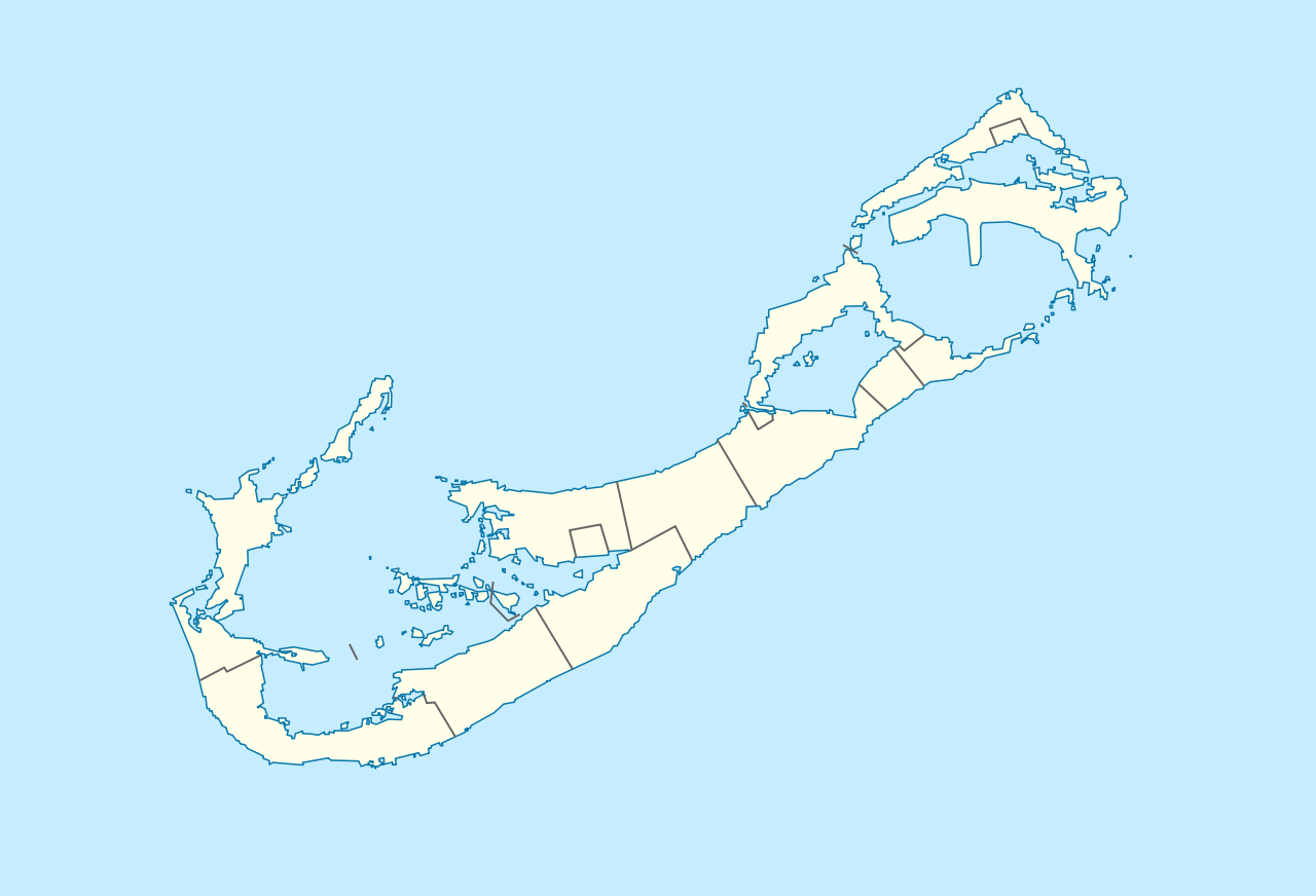
| Description | Deutsch: Positionskarte von Bermuda Geographische Begrenzung der Karte:
English: Location map of Bermuda Geographic limits of the map:
| ||||||||||||
| Date | |||||||||||||
| Source | Own work | ||||||||||||
| Author | NordNordWest | ||||||||||||
| Permission (Reusing this file) |
|
 | This map has been made or improved in the German Kartenwerkstatt (Map Lab). You can propose maps to improve as well. |
| Annotations | This image is annotated: View the annotations at Commons |
File history
Click on a date/time to view the file as it appeared at that time.
| Date/Time | Thumbnail | Dimensions | User | Comment | |
|---|---|---|---|---|---|
| current | 16:29, 19 December 2009 | | 1,311 × 893 (58 KB) | NordNordWest | == {{int:filedesc}} == {{Information |Description= {{de|Positionskarte von Bermuda}} Geographische Begrenzung der Karte: * N: 32.41° N * S: 32.22° N * W: 64.93° W * O: 64.6° W {{en|Location map of Bermuda}} Geographic l |
File usage
There are no pages that use this file.
Global file usage
The following other wikis use this file:
- Usage on af.wikipedia.org
- Usage on an.wikipedia.org
- Usage on ar.wikipedia.org
- Usage on ast.wikipedia.org
- Usage on az.wikipedia.org
- Usage on ba.wikipedia.org
- Usage on be-tarask.wikipedia.org
- Usage on be.wikipedia.org
- Usage on bg.wikipedia.org
- Usage on bn.wikipedia.org
- Usage on bs.wikipedia.org
- Usage on ceb.wikipedia.org
- Plantilya:Location map United Kingdom Bermuda
- Grape Bay (luuk sa Bermuda)
- Spanish Point
- South Channel
- Soldier Point
- Saint George
- Port Royal Bay
- Rabbit Island
- Nonsuch Bay
- The Narrows
- Long Island
- Long Bay
- High Point
- Green Bay
- Grape Bay
- Great Bay
- Goat Island
- Crawl Point
- Bird Island
- North Point
- North Channel
- Pembroke
- Long Rock
- Black Rock
- Cat Island
View more global usage of this file.
Explore the world

United states
New York

Japan
Tokyo

Singapore
Singapore
