
 Français
 Italiano
Size of this PNG preview of this SVG file: 512 × 401 pixels. Other resolutions: 307 × 240 pixels | 613 × 480 pixels | 981 × 768 pixels | 1,280 × 1,003 pixels | 2,560 × 2,005 pixels.
Original file (SVG file, nominally 512 × 401 pixels, file size: 279 KB)
This is a file from the Wikimedia Commons and may be used by other projects. Information from its description page there is shown below. Commons is a freely licensed media file repository. |
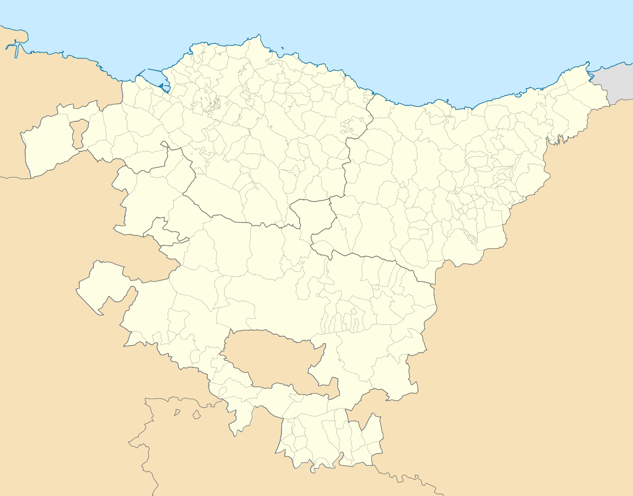
| Description | English: Location map of Pays Basque (Spain) Equirectangular projection, N/S stretching 130 %. Geographic limits of the map: * N: 43.533029° N * S: 42.421667° N * W: 3.509299° W * E: 1.660014° W Español: Mapa de localización de la comunidad autónoma del País Vasco (España) Proyección equirrectangular, N/S estirada 130 %. Límites geográficos del mapa: * N: 43.533029° N * S: 42.421667° N * O: 3.509299° O * E: 1.660014° O |
| Date | (UTC) |
| Source | |
| Author |
|
| This is a retouched picture, which means that it has been digitally altered from its original version. Modifications: harmonisation couleur+nettoyage. The original can be viewed here: País Vasco-loc.svg:
|
I, the copyright holder of this work, hereby publish it under the following license:
This file is licensed under the Creative Commons Attribution-Share Alike 3.0 Unported license.
- You are free:
- to share – to copy, distribute and transmit the work
- to remix – to adapt the work
- Under the following conditions:
- attribution – You must give appropriate credit, provide a link to the license, and indicate if changes were made. You may do so in any reasonable manner, but not in any way that suggests the licensor endorses you or your use.
- share alike – If you remix, transform, or build upon the material, you must distribute your contributions under the same or compatible license as the original.
Original upload log
This image is a derivative work of the following images:
- File:País_Vasco-loc.svg licensed with Cc-by-sa-3.0
- 2010-05-14T23:00:52Z Miguillen 512x401 (323163 Bytes) == {{int:filedesc}} == {{Information |Description= {{en|Location map of [[:en:Pays Basque|Pays Basque]]}} Equirectangular projection, N/S stretching 130 %. Geographic limits of the map: * N: 43.5625° N * S: 42.375° N *
Uploaded with derivativeFX
File history
Click on a date/time to view the file as it appeared at that time.
| Date/Time | Thumbnail | Dimensions | User | Comment | |
|---|---|---|---|---|---|
| current | 10:26, 30 October 2015 | | 512 × 401 (279 KB) | Mapeh | Rajout de la municipalité d'Urduña. |
| 13:58, 20 May 2010 |  | 512 × 401 (285 KB) | Miguillen | marco y bordes de mar y fronteras | |
| 12:11, 19 May 2010 |  | 512 × 401 (274 KB) | Xfigpower | {{Information |Description={{en|Location map of Pays Basque (Spain)}} Equirectangular projection, N/S stretching 130 %. Geographic limits of the map: * N: 43.533029° N * S: 42.421667° N * W: 3.509299° W |
File usage
There are no pages that use this file.
Global file usage
The following other wikis use this file:
- Usage on ar.wikipedia.org
- Usage on ast.wikipedia.org
- Usage on azb.wikipedia.org
- سوپوئترا
- لموآ
- آزپیتیا
- آقوراین
- اجانقیز
- بیتوریا
- قتسو
- ارنانی
- آراتزو
- زارائوز
- باراکالدو
- وله د تراپاقا
- برانقو
- پورتوقالته
- لویو (ایسپانیا)
- انیاتی
- آموریو
- ارون (ایسپانیا)
- بوستوریا
- بریز (ایسپانیا)
- بیلبائو
- فوئنترابیا
- والماسدا
- آبادینو
- آرهآتزا
- آبانتو وای سیربانا آبانتو زیربنا
- ایبار
- دورانقو (بیسکی)
- آزکویتیا
- قرنیکا
- اونداروآ
- لکیتیو
- لاباستیدا
- امزکتا
- ایا
- آبالتزیسکتا
- Usage on az.wikipedia.org
- Usage on ba.wikipedia.org
- Usage on bg.wikipedia.org
View more global usage of this file.
Metadata
Explore the world

United states
New York

Japan
Tokyo

Singapore
Singapore
