
 Français
 Italiano
Size of this preview: 600 × 600 pixels. Other resolutions: 240 × 240 pixels | 480 × 480 pixels.
Original file (800 × 800 pixels, file size: 377 KB, MIME type: image/png)
This is a file from the Wikimedia Commons and may be used by other projects. Information from its description page there is shown below. Commons is a freely licensed media file repository. |
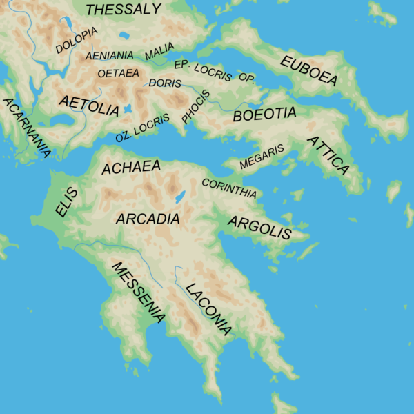
| Description | English: Map of the southern regions of Ancient Greece |
| Date | (UTC) |
| Source |
|
| Author |
|
| Other versions | Derivative works of this file: |
I, the copyright holder of this work, hereby publish it under the following licenses:
This file is licensed under the Creative Commons Attribution-Share Alike 2.5 Generic license.
- You are free:
- to share – to copy, distribute and transmit the work
- to remix – to adapt the work
- Under the following conditions:
- attribution – You must give appropriate credit, provide a link to the license, and indicate if changes were made. You may do so in any reasonable manner, but not in any way that suggests the licensor endorses you or your use.
- share alike – If you remix, transform, or build upon the material, you must distribute your contributions under the same or compatible license as the original.
| This file is licensed under the Creative Commons Attribution-Share Alike 3.0 Unported license. | ||
| ||
| This licensing tag was added to this file as part of the GFDL licensing update. |
 | Permission is granted to copy, distribute and/or modify this document under the terms of the GNU Free Documentation License, Version 1.2 or any later version published by the Free Software Foundation; with no Invariant Sections, no Front-Cover Texts, and no Back-Cover Texts. A copy of the license is included in the section entitled GNU Free Documentation License. |
You may select the license of your choice.
Original upload log
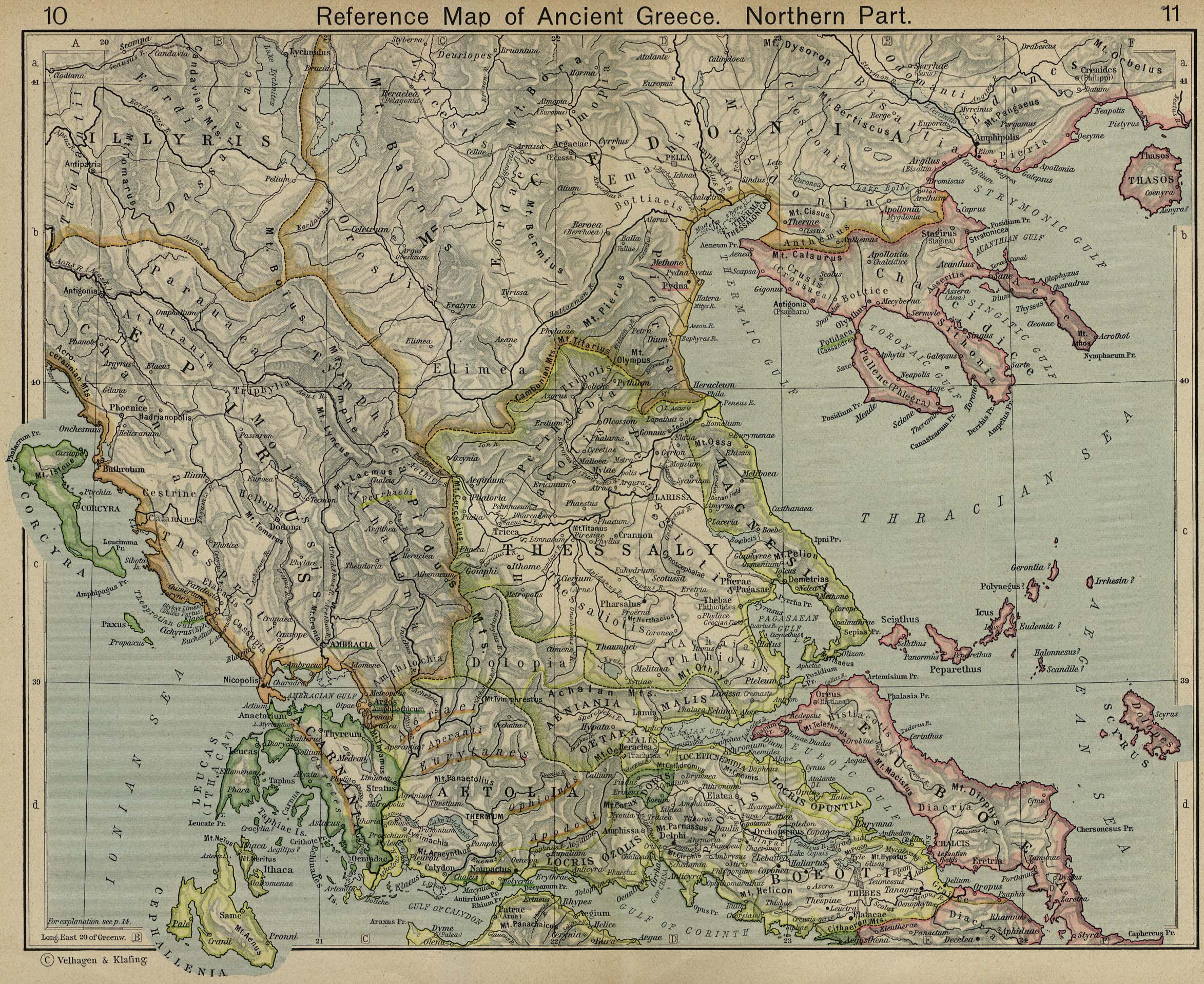
This image is a derivative work of the following images:
- File:Map_greek_sanctuaries-en.svg licensed with Cc-by-sa-2.5, Cc-by-sa-3.0-migrated, GFDL
- 2007-02-26T22:21:53Z Bibi Saint-Pol 993x793 (3420463 Bytes) + libellés mers
- 2007-01-24T15:08:47Z Bibi Saint-Pol 993x793 (3388755 Bytes) s/Milet/Miletus + cadrage
- 2007-01-21T14:26:03Z Bibi Saint-Pol 993x793 (3388746 Bytes) coquille "Amphiaros"
- 2007-01-10T03:25:02Z Bibi Saint-Pol 993x793 (3388746 Bytes) Didymes oracle
- 2007-01-08T00:07:20Z Bibi Saint-Pol 993x793 (3386646 Bytes) typo
- 2007-01-08T00:03:06Z Bibi Saint-Pol 993x793 (3386645 Bytes) translation mistake ("période")
- 2007-01-07T23:49:46Z Bibi Saint-Pol 993x793 (3379344 Bytes) == Description == {{Information |Description= {{en|Map of the main sanctuaries of classical Greece.}} |Source=Own work using Adobe Illustrator (data based on M. Kaplan et alii, ''Le Monde grec'', Bréal, Paris, 1995). |Date=2
Uploaded with derivativeFX
File history
Click on a date/time to view the file as it appeared at that time.
| Date/Time | Thumbnail | Dimensions | User | Comment | |
|---|---|---|---|---|---|
| current | 08:44, 12 January 2010 | | 800 × 800 (377 KB) | MinisterForBadTimes | {{Information |Description={{en|Map of the regions of Ancient Greece}} |Source=*File:Map_greek_sanctuaries-en.svg. Geographical information based on public domain map of Greece, from the Perry-Castañeda Library Map Collection, Historical Atlas by W |
File usage
There are no pages that use this file.
Global file usage
The following other wikis use this file:
- Usage on br.wikipedia.org
- Usage on de.wikipedia.org
- Usage on de.wikivoyage.org
- Usage on en.wikipedia.org
- Usage on et.wikipedia.org
- Usage on fa.wikipedia.org
- Usage on fr.wikipedia.org
- Usage on id.wikipedia.org
- Usage on it.wikipedia.org
- Usage on ja.wikipedia.org
- Usage on ko.wikipedia.org
- Usage on nl.wikipedia.org
- Usage on pl.wikipedia.org
- Usage on pt.wikipedia.org
- Usage on sl.wikipedia.org
- Usage on sr.wikipedia.org
- Usage on ta.wikipedia.org
- Usage on tr.wikipedia.org
- Usage on uk.wikipedia.org
- Usage on www.wikidata.org
Metadata
Explore the world

United states
New York

Japan
Tokyo

Singapore
Singapore
