
 Français
 Italiano
Size of this PNG preview of this SVG file: 658 × 369 pixels. Other resolutions: 320 × 179 pixels | 640 × 359 pixels | 1,024 × 574 pixels | 1,280 × 718 pixels | 2,560 × 1,436 pixels.
Original file (SVG file, nominally 658 × 369 pixels, file size: 41 KB)
This is a file from the Wikimedia Commons and may be used by other projects. Information from its description page there is shown below. Commons is a freely licensed media file repository. |
Summary
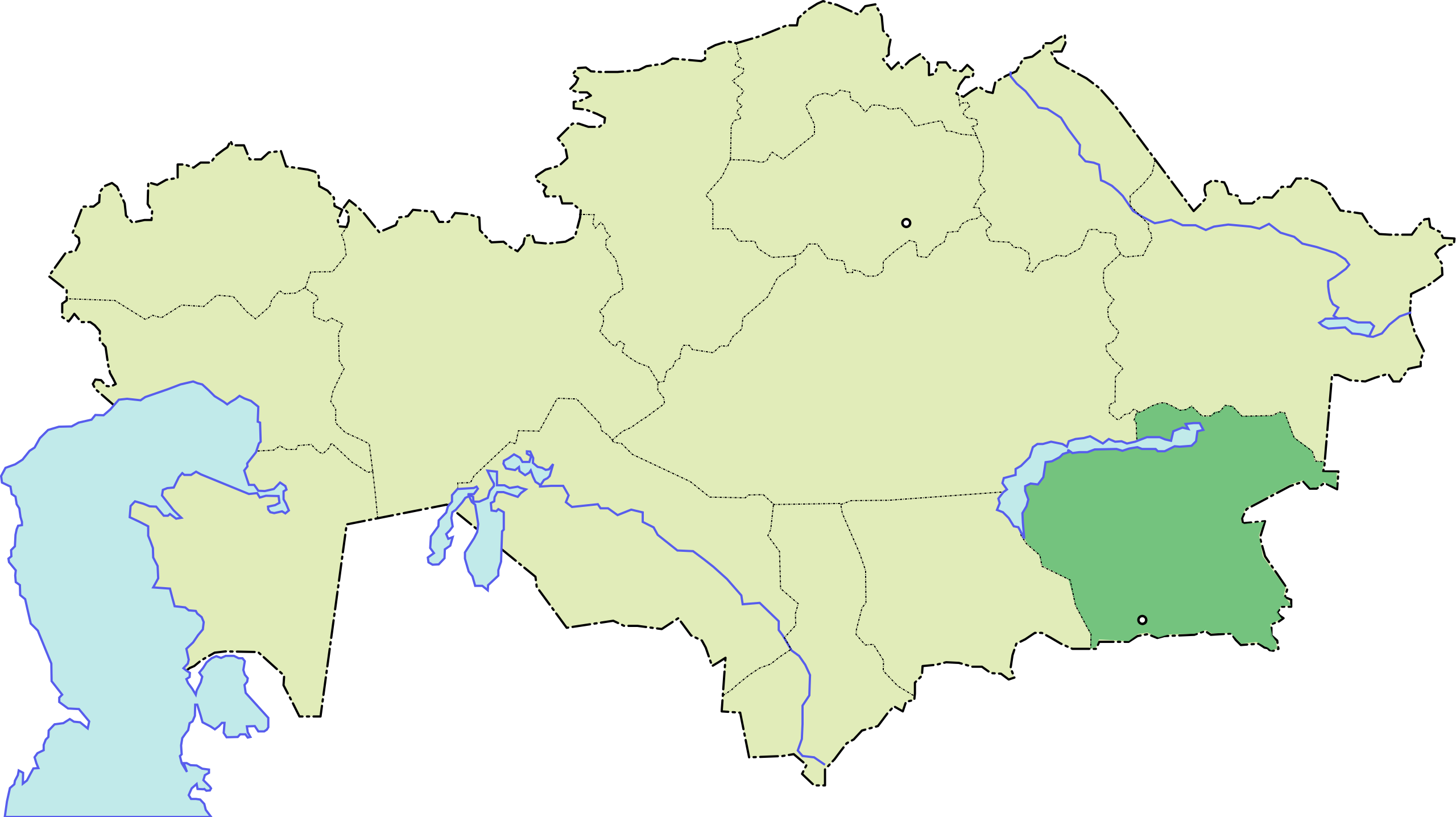
| Description | Русский: Алматинская область |
| Date | 24 November 2006 (original upload date) |
| Source | No machine-readable source provided. Own work assumed (based on copyright claims). |
| Author | No machine-readable author provided. Wassily assumed (based on copyright claims). |
Licensing
I, the copyright holder of this work, hereby publish it under the following license:
 | Permission is granted to copy, distribute and/or modify this document under the terms of the GNU Free Documentation License, Version 1.2 or any later version published by the Free Software Foundation; with no Invariant Sections, no Front-Cover Texts, and no Back-Cover Texts. A copy of the license is included in the section entitled GNU Free Documentation License. |
| This file is licensed under the Creative Commons Attribution-Share Alike 3.0 Unported license. | ||
| ||
| This licensing tag was added to this file as part of the GFDL licensing update. |
File history
Click on a date/time to view the file as it appeared at that time.
| Date/Time | Thumbnail | Dimensions | User | Comment | |
|---|---|---|---|---|---|
| current | 12:24, 24 November 2006 | | 658 × 369 (41 KB) | Wassily | {{ru}}Алматинская область Category:SVG maps of Kazakhstan Category:Области Казахстана {{self|GFDL}} |
File usage
There are no pages that use this file.
Global file usage
The following other wikis use this file:
- Usage on ace.wikipedia.org
- Usage on be-tarask.wikipedia.org
- Usage on be.wikipedia.org
- Usage on ce.wikipedia.org
- Usage on cs.wikipedia.org
- Usage on de.wikipedia.org
- Usage on en.wikipedia.org
- Aktas
- Ushkonyr
- Alatau, Medeu District, Almaty
- Pik Talgar
- Lake Kaindy
- Esik
- Tanbaly
- Qyzylqayyng
- Alakol District
- Balkhash District
- Enbekshikazakh District
- Ile District, Kazakhstan
- Karasay District
- Raiymbek District
- Talgar District
- Uygur District
- Zhambyl District, Almaty Region
- Eskeldi District
- Alatau, Almaty Region
- Korzhin Island
- Uzynagash
- Bakanas
- Yevgenyevka (Almaty Region)
- Qonayev
- Eshkiolmes Petroglyphs
- Yanaturmysh
- Kaskelen
- Abay, Almaty
- Akbulak, Kazakhstan
- Akdala
- Akkaynar
- Akozek
- Akshiy
- Template:AlmatyRegion-geo-stub
- Saymasay
- Kegen
- Algabas
- Ali, Kazakhstan
- Amangel'dy
- Aqdala
- Aqkol, Almaty
- Aqshi
- Aqtam
View more global usage of this file.
Explore the world

United states
New York

Japan
Tokyo

Singapore
Singapore
